
Trails / Tennessee / Great Smoky Mountains
Mount LeConte via the Appalachian Trail and the Boulevard
Great Smoky Mountains National Park (Newfound Gap to Mount LeConte)
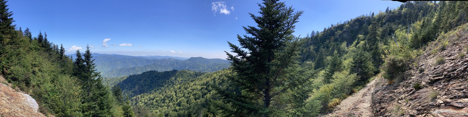
The Boulevard is the long way up Mount LeConte, and that’s exactly its appeal. Instead of climbing from a creek bottom, it starts at Newfound Gap, already above 5,000 feet, and follows a high ridge for about eight miles to the top. The park lists the trip at 16.2 miles round trip and calls it strenuous.
For backpackers, the prize is a night on the summit at LeConte Shelter, with sunset and sunrise overlooks a short walk away. It’s a big day in, so this is a trip for people who already have a few overnights behind them.
The hike
The route leaves from the Appalachian Trail trailhead at the Newfound Gap Overlook on US 441, where the park lists pit toilets. The first 2.7 miles follow the A.T. east. One lodge-staff trail guide describes steady climbing to the Sweat Heifer Creek Trail junction at 1.7 miles, then a ridgeline stretch over Mount Ambler to a junction on the shoulder of Mount Kephart. Our Icewater Spring and Charlies Bunion page covers this stretch, and Charlies Bunion is a short detour if the legs allow.
At 2.7 miles, bear left onto the Boulevard. One encyclopedia entry says the trail takes its name from the gap between LeConte and Mount Kephart. Almost right away, a spur leads over Kephart’s summit to the Jumpoff, a cliff that drops about 1,000 feet, with views over the eastern Smokies. Sources put the spur at 0.3 to 0.5 mile each way, and the staff guide warns that the signage is a bit misleading.
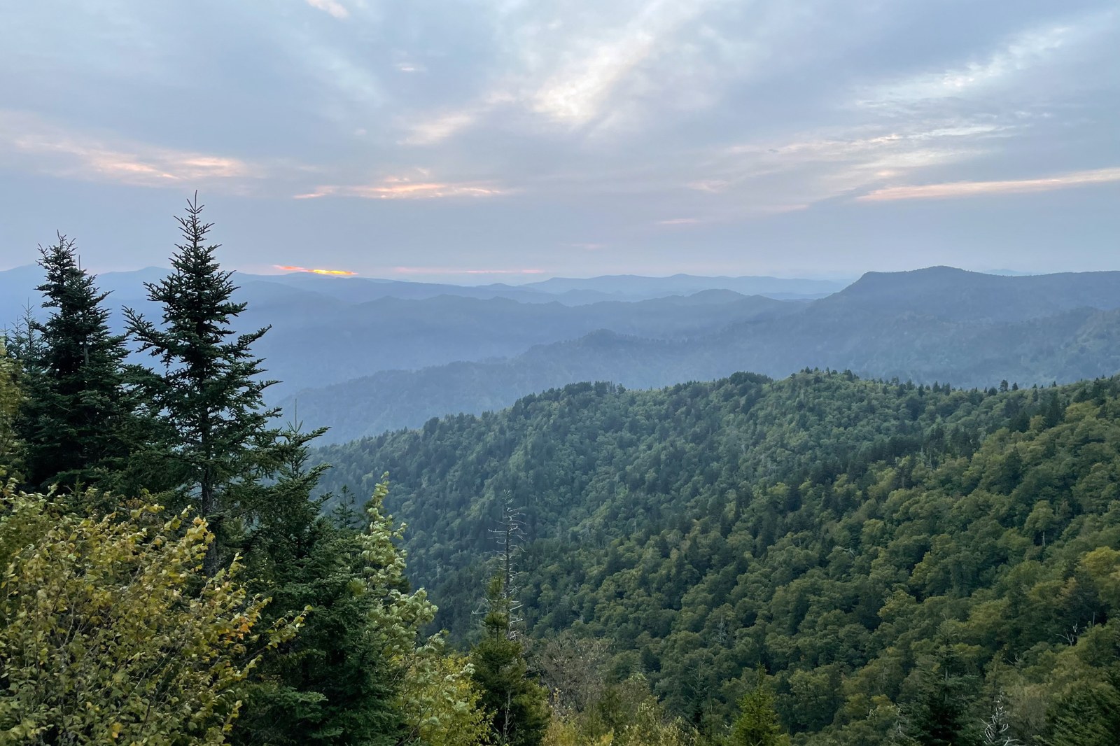
Past the Jumpoff, the Boulevard rolls north along the ridge. About a mile on, the same encyclopedia entry says, the trail drops roughly 500 feet and then climbs to Anakeesta Knob, at 5,988 feet. The staff guide notes a sharp downhill turn just below the knob, about three miles from the lodge, and says spring hikers may see over a hundred painted trillium nearby. One route guide mentions a section of cable along the trail through a landslide area. The encyclopedia calls the trail’s net gain of about 1,080 feet misleading because of all the dips and rises, and the staff guide counts about 2,700 feet up and 1,300 down on the way to the lodge.
The hardest part comes last. The staff guide says the 1.5-mile climb to High Top gains nearly 1,300 feet. In June 2026, a staff post found the Boulevard in good shape, with fewer than half a dozen easy blowdowns, some encroaching brush near the midpoint, and eroded, narrow tread and steep side slopes near the end.
At about 7.5 miles, a 0.2-mile spur leads to Myrtle Point, one of LeConte’s four peaks and a known sunrise spot. Just past it, the trail reaches High Top, at 6,593 feet the summit of LeConte, where a large rock pile has grown over the years. The shelter is about 0.2 mile beyond, and LeConte Lodge just past that, where the Boulevard ends at the junctions with the Alum Cave, Rainbow Falls and Trillium Gap trails. LeConte is the third-highest peak in the park and the highest entirely in Tennessee, according to the encyclopedia.
Going home, the shortest way down is the Alum Cave Trail, 4.9 miles to Newfound Gap Road. One route guide describes the one-way traverse with a car shuttle between the two trailheads. Retracing the Boulevard is the other choice, and the ridge looks different the second time.
Tips
- Start early and plan parking. The park warns of extreme crowding and limited parking, and a parking tag is required to park more than 15 minutes.
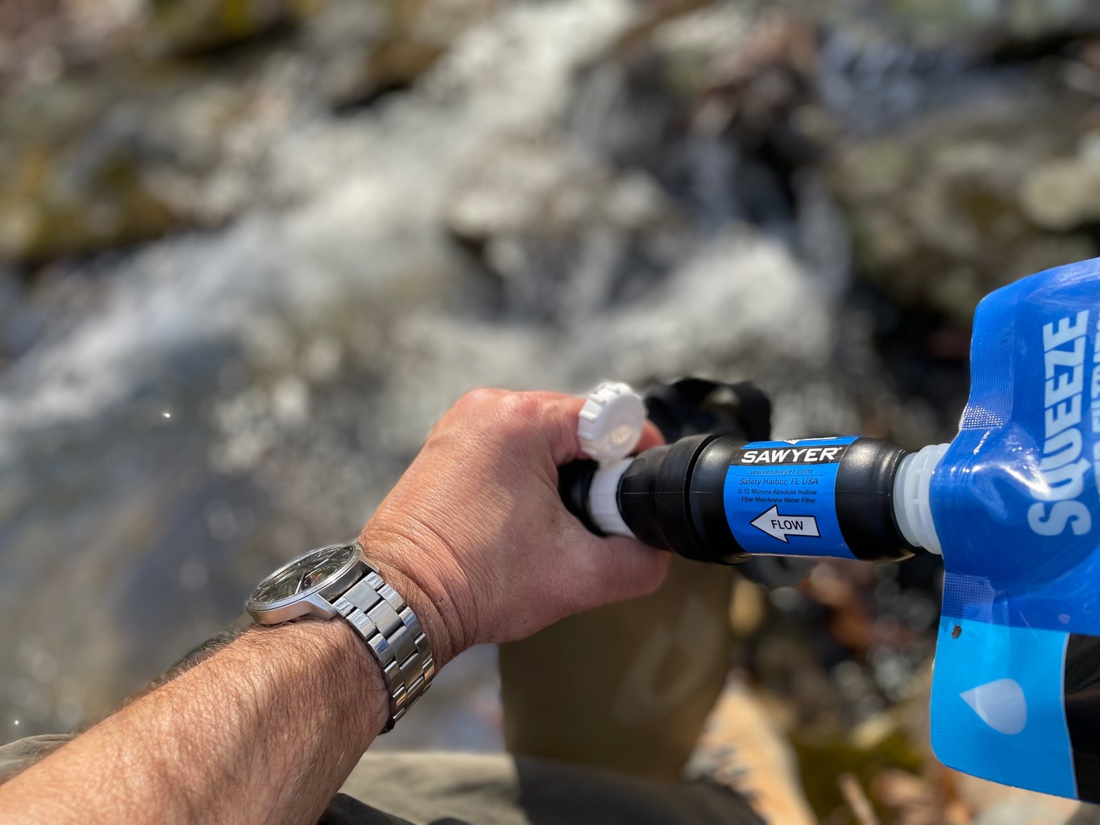
- Carry enough water for the whole ridge. No source names water on the Boulevard. Fill up before leaving the A.T. at the Icewater Spring, just past the junction, and treat it.
- Pack for winter early. The park warns of ice and falling icicles in cold weather and recommends microspikes in winter. In October 2026, lodge staff reported overnight frost on top.
- Use trekking poles. For most people they’re a real help on the steep, eroded tread near the summit and on the long descent home.
- Leave the dog at home. Pets aren’t allowed on this trail.
Camping
All backcountry camping in the park requires a permit and an advance reservation, made through the national reservation site up to a month before your first night. The permit rules say shelter permit holders must sleep inside the shelter, with no tents inside or out, and can’t stay consecutive nights at any shelter. All food, cookware, toiletries and trash go on the bear cables when not in use, even in a canister. Dogs aren’t allowed in the backcountry. The park’s backcountry office answers questions at 865-436-1297.
LeConte Shelter is a 12-space shelter, according to one encyclopedia entry, with a composting privy, per the park. The park points shelter users to the spring on the Trillium Gap Trail for water and recommends boiling or treating it. LeConte Lodge, near the shelter, is a separate, privately run reservation.
Inside Intel: One October trip report found the shelter a three-sided stone-and-wood building with a lower sleeping platform and an upper one reached by a ladder; spots are claimed by laying out bedding, and the writer chose a lower spot against the stone wall. For views, that hiker watched sunset from Cliff Tops, which had the better angle on the low sun, with about 30 people gathered, and sunrise from Myrtle Point. Campfires aren’t allowed, the same report notes, so the overlooks are where the evening happens.
Trail facts
- Distance: 16.2 miles round trip (official figure); about 8 miles one way
- Route type: Out and back, or one way down Alum Cave Trail (4.9 miles) with a shuttle
- Difficulty: Strenuous
- Elevation: Starts at Newfound Gap, 5,048 feet by one guide; summit 6,593 feet. Roughly 2,700 feet of climbing on the way in, by one guide’s count
- Campsites: LeConte Shelter near the summit (one night; sleep inside). Icewater Spring Shelter is on the A.T. just past the Boulevard junction (reopened June 12, 2026, on a bear warning, per the trail’s nonprofit steward)
- Water: Icewater Spring on the A.T. near the junction; spring on Trillium Gap Trail at the summit; none named on the Boulevard. Treat all water
- Permits: Required for every overnight; reserve online
- Bear storage: Bear cables at the shelter
- Dogs: Not allowed
- Trailhead: Newfound Gap Overlook, US 441 (Newfound Gap Road)
- Last verified: November 3, 2026
Have a great pic of this trail? Post it to Instagram and tag us, and we might use it on the site.
More Lowdown from Backpack Trail Guide
Where this comes from
This page draws on the sources below, along with other guides and trip reports. Links go to the original pages.
- National Park Service: Hike to Mount Le Conte via Appalachian Trail and Boulevard Trail
- National Park Service: Airlifts for LeConte Lodge Recreation Building (Aug. 2026)
- National Park Service: Additional airlifts, Oct. 6-9, 2026
- National Park Service: Backcountry Camping
- Recreation.gov: Great Smoky Mountains backcountry permits
- Wikipedia: The Boulevard Trail
- Wikipedia: Mount Le Conte (Tennessee)
- High on LeConte: A Guide to the Trails of Mt. LeConte
- High on LeConte: June 1, 2026
- High on LeConte: October 2026 posts
- The Outbound: Mount LeConte Lodge via the Boulevard Trail
- SummitPost: The Boulevard Trail
- Erik Hogan, Field Notes: Mount LeConte
- Appalachian Trail Conservancy: Icewater Springs Shelter bear warning
Before you go: This page is based on published trail guides, trip reports, and reviews, along with official park and agency information where we could find it. It’s meant to help backpackers discover new trails, not to replace current, official information. Conditions, closures, permits, campsites, and water sources change, and some details here may be out of date or wrong. Confirm everything with the managing agency and check current conditions before you head out, and don’t rely on this page alone for safety or navigation. Backcountry travel involves risk.