
Trails / Tennessee / Great Smoky Mountains
Alum Cave Trail to Mount LeConte
Great Smoky Mountains National Park
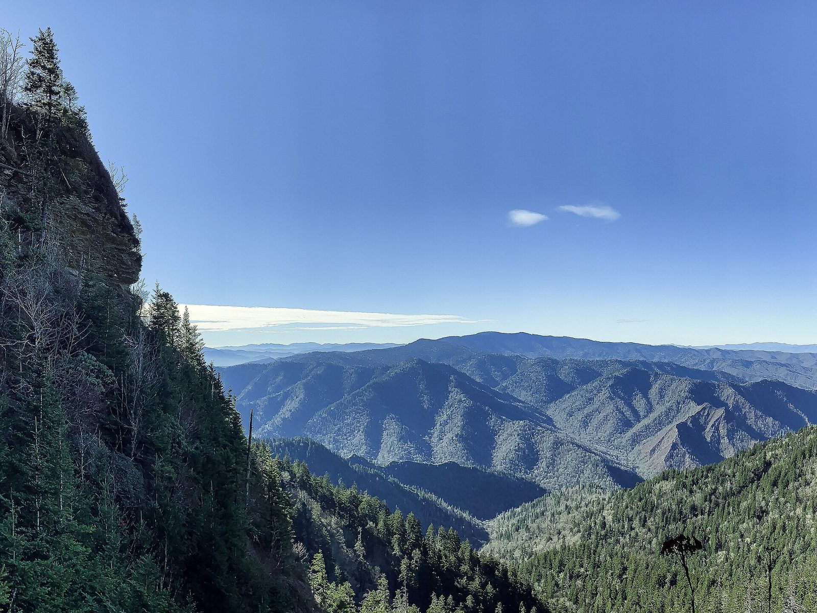
Most people who hike Alum Cave never plan to reach the summit. They come for the first 2.3 miles, and that’s a perfectly good day: a climb beside a rushing creek, a walk through a rock arch, and a huge curled-in cliff to stand under. The ones who keep going get the shortest of the five routes up Mount LeConte, the third-highest peak in the Smokies.
The hike
From the trailhead on Newfound Gap Road, you’ll find restrooms at the parking lots, and a sign just to the right of them lists the distance to each major landmark along the way. Two lots serve the trailhead because the trail is so popular. The path begins by crossing Walker Camp Prong and Alum Cave Creek on log bridges, then follows Alum Cave Creek and its tributary, the Styx Branch, through old-growth forest. One hiker who came in June described hemlock, yellow birch, and blooming rhododendron in the shade.
The first landmark is Arch Rock, about 1.3 to 1.4 miles in, depending on the source. Guides say the arch formed as freezing and thawing wore away softer rock from beneath harder rock. The trail goes straight through it, up steps cut into the stone, and the park suggests Arch Rock as a turnaround for a shorter hike of about 2.8 miles round trip. Past it, the trail gets considerably steeper, with a series of rock stairs that carry you high above the arch and the creek. Anakeesta Ridge fills the view on your left through this stretch.
Inspiration Point comes at roughly 2 to 2.3 miles, again depending on who you ask. It’s a heath bald of mountain laurel and rhododendron, with views of Little Duck Hawk Ridge to the west and Myrtle Point near the top of Mount LeConte to the northeast. Look for the Eye of the Needle, a hole in the rock near the top of Little Duck Hawk Ridge.
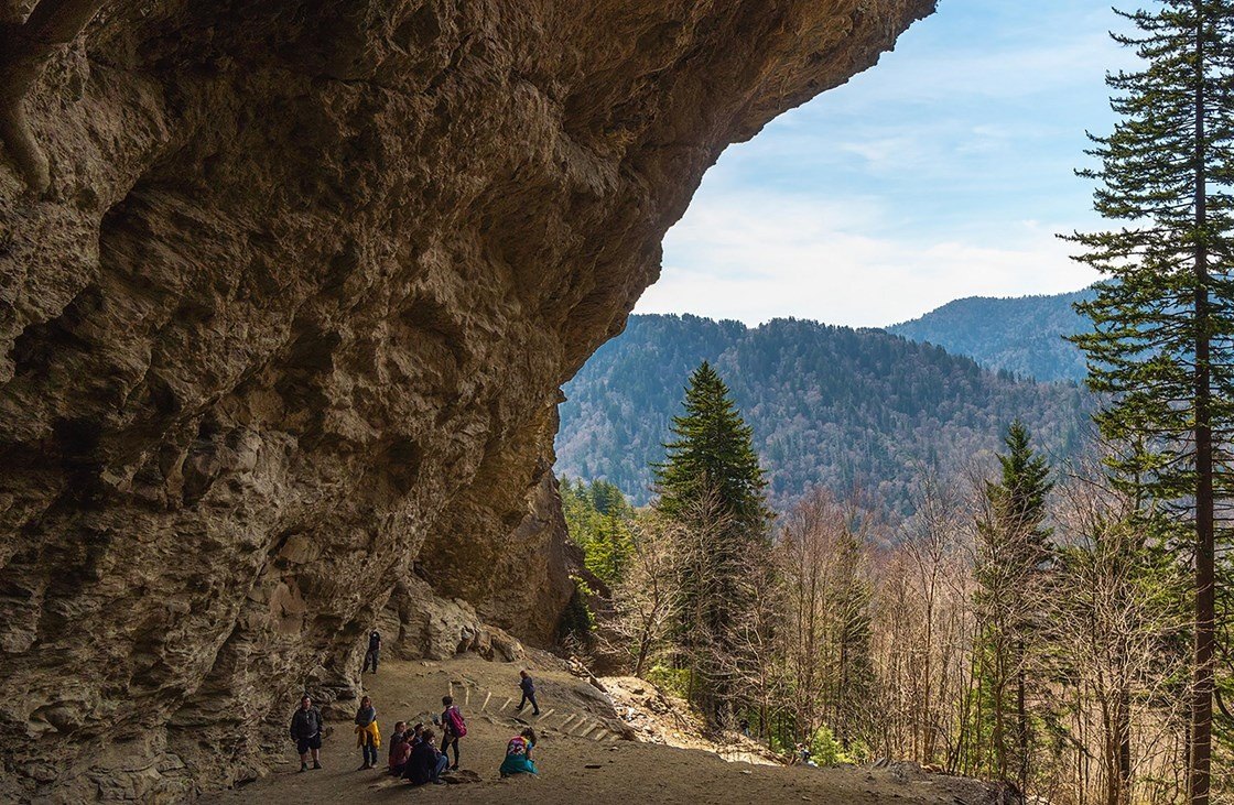
At 2.3 miles you reach Alum Cave Bluffs, the payoff for most hikers. One trail app notes the bluff’s orange clay, and the park says the ground stays dry underneath even on the wettest days and that peregrine falcons are sometimes seen here. It isn’t a cave at all but a cliff curled inward, and it’s the natural turnaround for a moderate day (4.6 miles round trip). It also has more history than most trail features. One historical account reports that in 1837 three farmers applied for a 50-acre land grant that included the cave and its salt deposits, and a company was later formed to mine Epsom salts there.
More than half the trail lies beyond the bluffs, and it’s the steepest part. One guide points to Gracie’s Pulpit at the halfway point, with more views of Little Duck Hawk Ridge, and says the climb gains more than 1,000 feet before it levels off. Near the top you reach LeConte Lodge, where, one trail app says, reservations must be made months in advance. From there, Cliff Tops and Myrtle Point each offer expansive views. Clouds can hide the summit, as some hikers report, so a clear view isn’t guaranteed.
If you like this climb, other routes reach the same summit. The park calls Alum Cave the shortest of five, and one trail app says it’s more popular than the nearby Rainbow Falls Trail. The Trillium Gap Trail, which passes behind Grotto Falls, is another way up.
Tips
- Start early. Guides say the parking lots fill early. Consider the park shuttle.
- Dress for two climates. It can be mild at the trailhead and cold and damp at the top. Bring layers and rain gear.
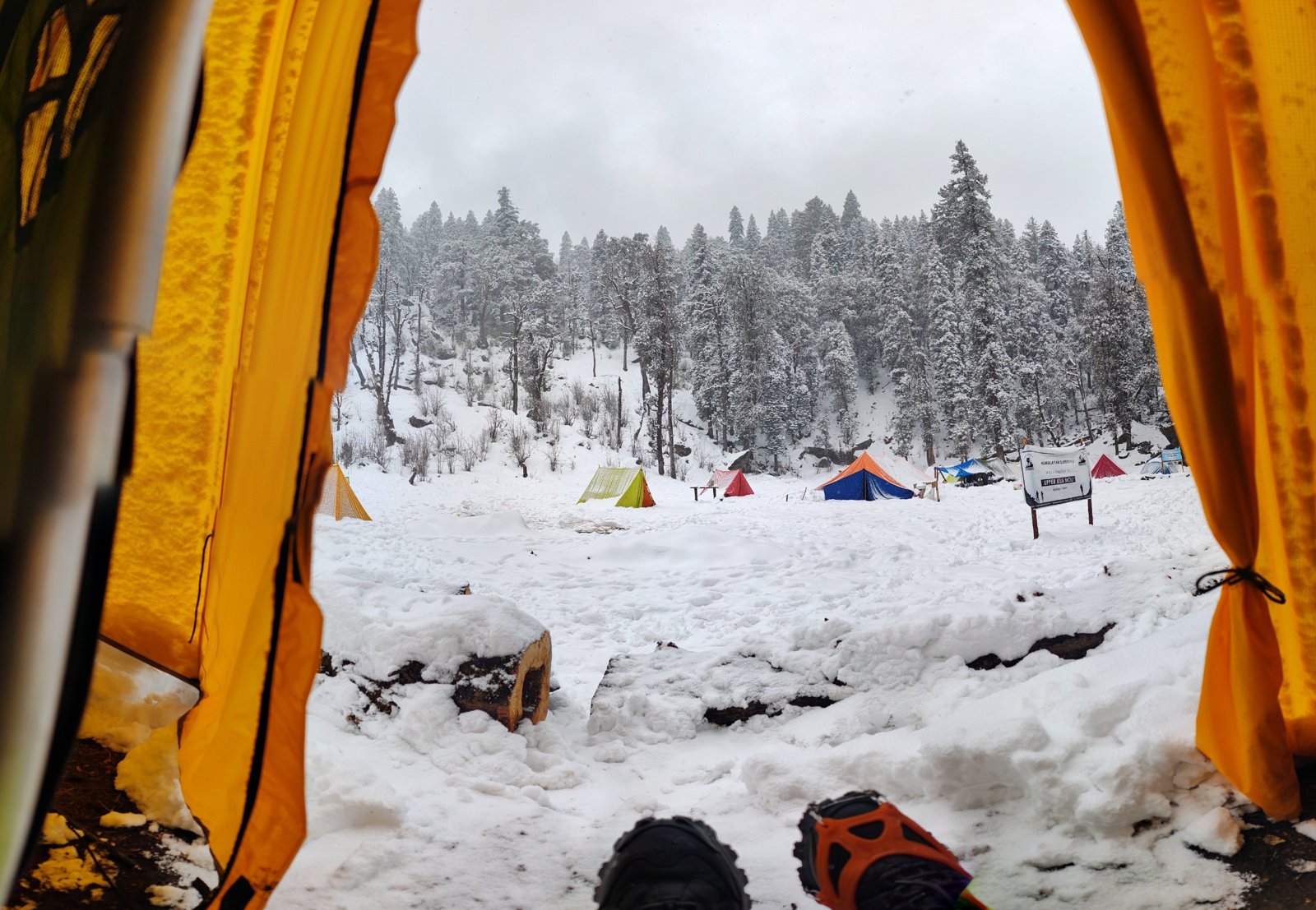
- Winter is a different hike. Expect ice on the trail and possible falling icicles, as the park warns.
- The trail is steep and rocky in places, Sturdy shoes matter, and the descent is harder on the knees than the climb.
- Leave the dog at home. Pets aren’t allowed on this trail.
Camping
There is no camping along the lower trail. Overnight stays are limited to the summit area. The LeConte Shelter requires a backcountry permit and reservation (made through the national reservation site), allows one night only, and requires you to sleep inside it rather than pitch a tent alongside. LeConte Lodge is a separate, privately run reservation, and it is the only commercial lodging in the park: rustic cabins with no electricity. Whatever your plan, check current shelter and trail conditions with the park’s Backcountry Office before you go.
Inside Intel: Backpackers who have done both often say the shelter is the better deal than the lodge. It sits just a short walk from the lodge (sources put it at a few tenths of a mile), it has a privy and bear cables, and it stays warm on cold nights, though it has no view of its own. The payoff is location. Cliff Top and Myrtle Point are both close, and both have wide-open views, so you can catch sunset from one and sunrise from the other without a long walk in the dark. Reports conflict on where to get water up there, so carry plenty and ask the Backcountry Office what’s available.
Trail facts
- Distance: 10 miles round trip to the summit (official figure). Alum Cave Bluffs turnaround: 4.6 miles round trip.
- Route type: Out and back
- Difficulty: Challenging to the summit; moderate to the bluffs
- Elevation: The park publishes no gain figure. Guides report roughly 2,700 feet of climbing to the summit. The summit is 6,593 feet.
- Best season: Spring through fall. Icy in winter.
- Dogs: Not allowed
- Trailhead: Alum Cave Trailhead, Newfound Gap Road (US 441)
- Camping: None on the lower trail. Shelter (permit and reservation, one night, sleep inside) and lodge (private booking) near the summit. Dispersed camping is not allowed.
- Last verified: September 23, 2026
Have a great pic of this trail? Post it to Instagram and tag us, and we might use it on the site.
More Lowdown from Backpack Trail Guide
Where this comes from
This page draws on the sources below, along with other guides and trip reports. Links go to the original pages.
- National Park Service: Hike to Mount Le Conte on Alum Cave Trail
- National Park Service: Hike to Alum Cave Bluffs
- National Park Service: Alum Cave Bluffs
- Wikipedia: Alum Cave Trail
- Gatlinburg.com: Alum Cave Trail
Before you go: This page is based on published trail guides, trip reports, and reviews, along with official park and agency information where we could find it. It’s meant to help backpackers discover new trails, not to replace current, official information. Conditions, closures, permits, campsites, and water sources change, and some details here may be out of date or wrong. Confirm everything with the managing agency and check current conditions before you head out, and don’t rely on this page alone for safety or navigation. Backcountry travel involves risk.