
Trails / Tennessee / Cherokee National Forest and AT
Laurel Fork Trail and Dennis Cove Loop
Cherokee National Forest, Carter County (Pond Mountain area)
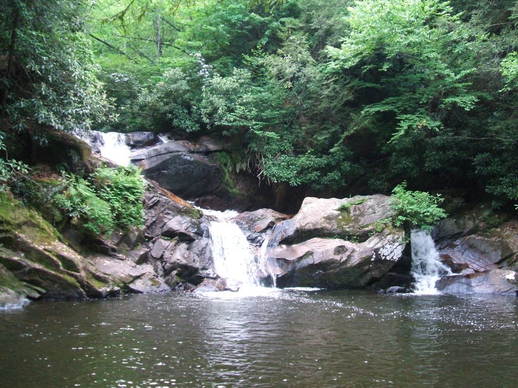
Laurel Fork is wet, wild, and demanding, and that’s the appeal. One hiker calls it some of the most beautiful backcountry in East Tennessee, with several waterfalls along the way. It’s also demanding, with constant stream crossings and a trail that gets rougher the farther you go.
The hike
Laurel Fork Trail (Trail #39) runs about 8 miles along Laurel Fork Creek, from Dennis Cove Road to Walnut Mountain Road, according to a local hiking club’s wiki. It’s blue-blazed and has several access points on forest roads. The forest says you can fish for trout, look for beaver dams near Cherry Flats, and take in waterfalls near the stream. The trail mostly follows an old railroad grade, and one hiker says it was the Laurel Fork Railway, which hauled timber to the town of Hampton. The first waterfalls are Lower and Upper Dennis Cove Falls, which the same hiker says can be reached in good conditions with a chance of staying dry.
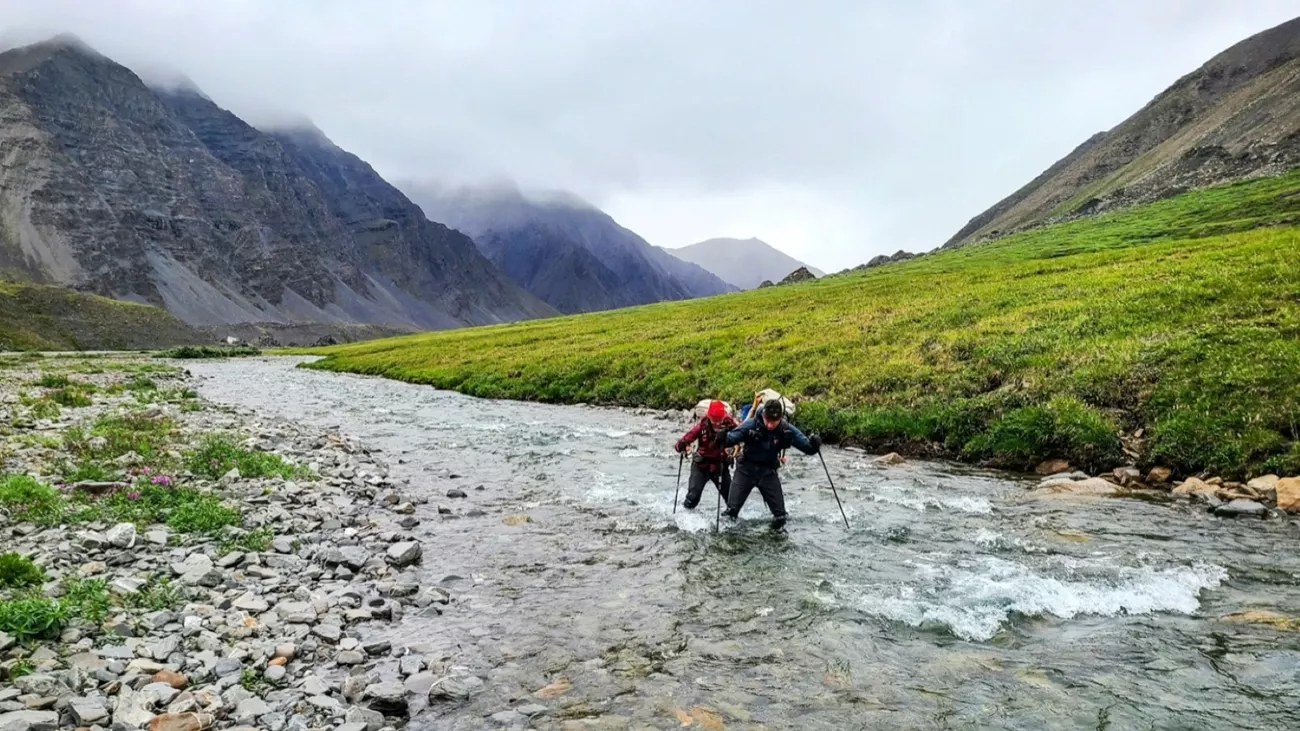
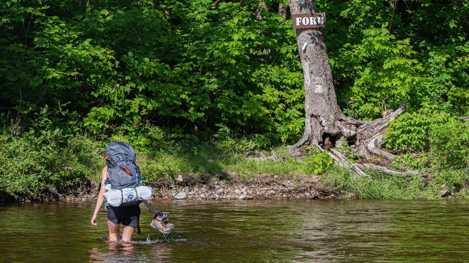
After that, conditions change. The club’s wiki says the trail is generally good until Dennis Cove Falls, and beyond it is less maintained, the fords are harder, blazing is sparse in the open fields at Frog Level, Bitter End, and Walnut Mountain, and blowdowns and plant growth grow more frequent. It says you will get wet here, with ankle-to-knee-deep fords and beaver-dammed areas reaching nearly waist deep, and advises caution in high water. Frog Level is a series of open fields, remnants of the timber cutting from the railway days, according to the same hiker, who reached it after a tough ford through a beaver-dammed area.
The other star is Laurel Fork Falls, in the Pond Mountain Wilderness. The forest describes it as 40 feet high and 50 feet wide, one trail guide lists it as 55 feet, and a guidebook excerpt on the forest’s website says about 60. From the Dennis Cove trailhead, the forest puts the falls about 1.3 miles north on the AT, roughly 2.6 miles round trip. The trail guide says the first mile follows an old rail bed with three bridges, and that the trail then turns sharply left and drops quickly on rocky steps to the falls. The nonprofit that manages the AT warns that swimming in the pool below may be hazardous, and the club’s wiki suggests wading downstream of the falls instead. That guidebook excerpt adds that the falls remain popular with swimmers despite many fatalities. It also notes that group size is limited to 10 people in the Pond Mountain Wilderness. The AT nonprofit also notes that the Laurel Fork Shelter on the AT burned down in 2024.
Coon Den Falls is close by. The forest says a steep, rocky trail follows Coon Den Branch for nearly 1.5 miles to meet the AT on the ridge, with 50-foot cascading falls halfway up. One hiker turned that into an overnight loop of about 19 miles: up Laurel Fork Trail, across a forest road to the AT, north past Moreland Gap Shelter, and back over White Rocks Mountain and down the very steep Coon Den Falls Trail to a short road walk to the start. His account dates to 2014, so confirm the route.
Dennis Cove Recreation Area, a secluded campground alongside Laurel Fork Creek, makes a natural base. For more of the AT in the Cherokee National Forest, see our Iron Mountain Gap to US 19E guide.
Tips
- Expect to get wet. The route has numerous fords, and a local trail guide advises extreme caution in high water.
- Bring navigation skills. Blazing is sparse in the open areas upstream.
- Watch the weather. Don’t attempt the fords after heavy rain.
- For an easier taste, the AT to Laurel Fork Falls, a large waterfall, is a shorter hike, but swimming in the pool below the falls may be hazardous, according to AT trail managers.
Camping
Dennis Cove Campground, at the trailhead, is a developed national forest campground with 15 sites along Laurel Fork Creek, flush toilets, and a table and fire ring at each site. It’s booked online, and its gate closes at 10 p.m. Along the loop, the hiker who did it camped near Moreland Gap Shelter on the AT. The Laurel Fork Shelter on the AT burned in 2024, and AT trail managers say the area around it is also closed to camping; its latest update (March 2025) says there is no longer a timeline for rebuilding.
Inside Intel: A creekside night at Dennis Cove Campground makes a comfortable staging point before an early start on the fords, and it’s a natural place to leave a car. The campground’s site describes the creek below it as stocked with rainbow trout, and the trail follows the creek above it. If you camp at Moreland Gap Shelter on the loop, you’ll be on the AT and can descend Coon Den Falls Trail the next morning, ending at the falls.
Trail facts
- Distance: About 19 miles for the full overnight loop (one hiker’s route). Laurel Fork Trail alone runs about 8 miles one way.
- Route type: Loop, overnight
- Difficulty: Hard, with 26 stream crossings on Laurel Fork Trail
- Campsites: Dennis Cove Campground (15 sites, reservations); dispersed sites and Moreland Gap Shelter on the AT
- Water: Plenty, mostly from the creek. Filter all water.
- Permits: None found for backpacking. Confirm with the ranger district.
- Trailhead: Dennis Cove Campground / Dennis Cove Road
- Last verified: October 17, 2026
Have a great pic of this trail? Post it to Instagram and tag us, and we might use it on the site.
More Lowdown from Backpack Trail Guide
Where this comes from
This page draws on the sources below, along with other guides and trip reports. Links go to the original pages.
- U.S. Forest Service: Laurel Fork Falls hike
- TEHCC Wiki: Laurel Fork Trail
- TEHCC Wiki: Laurel Fork Gorge
- Appalachian Trail Conservancy: Laurel Fork Shelter closed
- U.S. Forest Service: Pond Mountain Wilderness, Laurel Falls (guidebook excerpt, PDF)
Before you go: This page is based on published trail guides, trip reports, and reviews, along with official park and agency information where we could find it. It’s meant to help backpackers discover new trails, not to replace current, official information. Conditions, closures, permits, campsites, and water sources change, and some details here may be out of date or wrong. Confirm everything with the managing agency and check current conditions before you head out, and don’t rely on this page alone for safety or navigation. Backcountry travel involves risk.