
Trails / Tennessee / Great Smoky Mountains
Gregory Bald via Gregory Ridge Trail
Great Smoky Mountains National Park (Cades Cove; the bald sits on the Tennessee–North Carolina line)
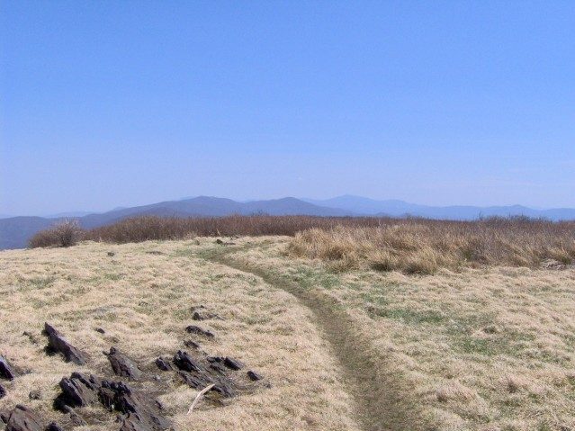
Gregory Bald is one of only two grassy balds the park maintains, and from its open meadow you can see across Cades Cove, Fontana Lake, and the high peaks of the main ridge. It’s a punishing climb, but you can split it in two by sleeping near the top, and azalea season is the highlight.
The hike
The hike starts at the Gregory Ridge trailhead at the end of Forge Creek Road, which turns off the Cades Cove Loop just past the Cable Mill area. One local guide says Gregory Ridge is the popular choice for hikers coming in from Townsend, because they can leave the way they came in. The trail begins with a gentle climb past a few footbridges, and there’s an early backcountry campsite (#12) a couple of miles in, with old-growth forest beyond it. One guide describes virgin forest with huge tulip trees.
About 2.5 miles in, the climbing turns serious: roughly 2,000 feet over the next 3 miles, by one guide’s count. One trail log warns that there’s no water on the trail after Forge Creek, though it says Moore Spring, near Rich Gap, has some. The last quarter mile levels out before you meet the Long Hungry Ridge and Gregory Bald trails at Rich Gap, at roughly 4.9 miles, just after crossing the state line into North Carolina. Turn right, and one last push of about three-quarters of a mile takes you to the bald.
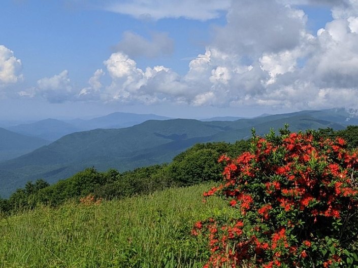
Gregory Bald is a 10-acre grassy meadow named for Russell Gregory, an early homesteader in Cades Cove. Cove farmers once grazed cattle here to escape summer heat and flies. Nobody is sure how balds like this formed, and one guide lists lightning, animal grazing, and use by the Cherokee who lived here first as theories. It’s one of only two balds the park maintains, along with Andrews Bald, and without that upkeep, one guide says, forest would reclaim it. Flame azaleas bloom in late June, and one local guide says the mix of colors is unique to this location.
On a clear day you can see Cades Cove and Rich Mountain to the north, the Nantahala and Yellow Creek mountains to the south, and Thunderhead Mountain and Kuwohi to the east, with Fontana Lake and Shuckstack to the southeast. Sheep Pen Gap campsite (#13) sits about 0.4 miles beyond the bald, and one trail log calls a midnight walk to the bald from there worthwhile. Just past the campsite, the Wolf Ridge Trail leaves for Parsons Bald and, eventually, the Twentymile Ranger Station.
You can shorten the climb with the Gregory Bald Trail, which starts at Sams Gap, 3.3 miles into one-way Parson Branch Road, and reaches the bald in a little over 4 miles. The road is gravel and closed in winter, and driving it means leaving the park on the southwest side, along part of US 129. Before 1948, that local guide says, this stretch of ridge was part of the Appalachian Trail.
In the early 1900s, according to another guide from the same source, a pasture ran about 24 miles along the crest from Silers to Gregory Bald, and you can walk part of it at Spence Field. Our Spence Field guide covers that route.
Tips
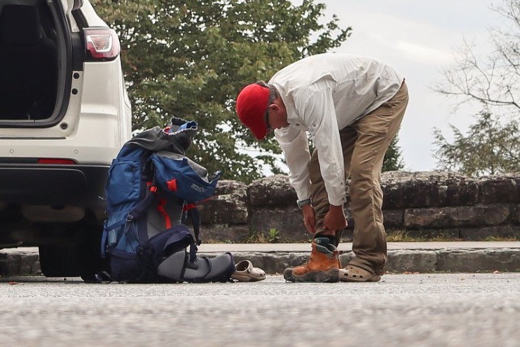
- Get an early start. The trailhead has limited parking, and the climb takes most of a day. Guides estimate seven hours or more for the round trip.
- Bring plenty of water and confirm your sources before you go.
- Watch for wildlife. One reviewer reported bears and wild boar on this route.
- Leave the dog at home. Dogs aren’t allowed on this trail.
Camping
Campsite #12 is a couple of miles from the trailhead, well short of the hard climb. Campsite #13, Sheep Pen Gap, sits about 0.4 miles beyond the bald on its western side. Every overnight in the Smokies backcountry requires a permit and reservation through the park’s online reservation system.
Inside Intel: Campsite #13 has a reputation as one of the best in the park. Guides call it one of the quietest spots in the Smokies, and one says many consider it the best campsite in the park. It’s close enough to walk to the bald, and it’s heavily used, so book it early in azalea season. If you want a shorter first day, #12 is an option, but it leaves the hardest climb for the next morning.
Trail facts
- Distance: About 11.4 miles round trip via Gregory Ridge Trail (4.9 miles to Rich Gap, then 0.7 to the bald)
- Route type: Out and back, or loop with Gregory Bald Trail and Parson Branch Road
- Difficulty: Strenuous
- Elevation: Roughly 3,000 feet of gain (guides)
- Campsites: #12 (a couple of miles from the trailhead); #13 Sheep Pen Gap (about 0.4 miles beyond the bald)
- Water: Confirm before you go. Treat all water.
- Permits: Required for every overnight. Reserve online; check the park’s site for current fees and booking window.
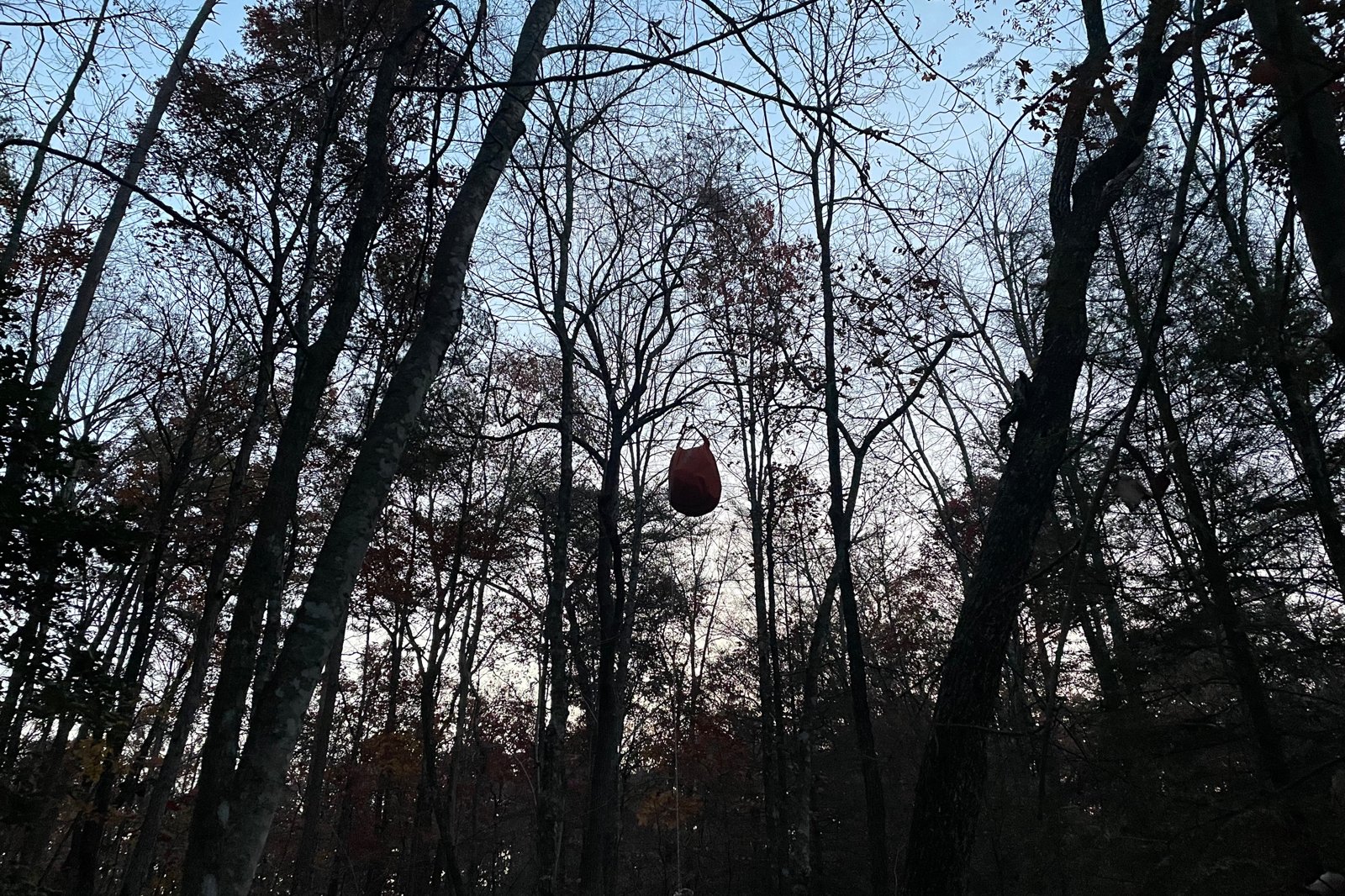
- Bear storage: Cables at campsites. Use them.
- Dogs: Not allowed
- Trailhead: Gregory Ridge Trailhead, Forge Creek Road, Cades Cove
- Last verified: September 23, 2026
Have a great pic of this trail? Post it to Instagram and tag us, and we might use it on the site.
More Lowdown from Backpack Trail Guide
Where this comes from
This page draws on the sources below, along with other guides and trip reports. Links go to the original pages.
Before you go: This page is based on published trail guides, trip reports, and reviews, along with official park and agency information where we could find it. It’s meant to help backpackers discover new trails, not to replace current, official information. Conditions, closures, permits, campsites, and water sources change, and some details here may be out of date or wrong. Confirm everything with the managing agency and check current conditions before you head out, and don’t rely on this page alone for safety or navigation. Backcountry travel involves risk.