
Trails / Tennessee / Big South Fork
Big South Fork: John Litton Route
Big South Fork National River and Recreation Area (Tennessee)
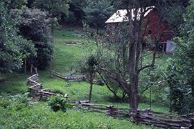
The John Litton route is the middle option in the Big South Fork: longer than the overlook loop, shorter than the full John Muir trip. A park partner lists it at about 27 miles, and one reviewer of the shorter 16.1-mile version calls it a good three-day trip with plenty of campsites.
The hike
This route centers on the John Litton Farm, one of four historic homesteads the park has preserved, along with the Oscar Blevins Farm, the Lora Blevins Farm, and Charit Creek Lodge. A local newspaper writer says it’s one of only two preserved homesteads in the backcountry, away from vehicle access, and the other is Charit Creek Lodge. The farm sits along the North Fork of Fall Branch and can be reached only on foot, or by horse or mountain bike on an administrative road, according to a local history encyclopedia.
The farm dates to about 1900, when John Litton, known as a master cabin builder, put up a 1.5-story timber-framed house with a stone foundation on a hillside overlooking the creek. He also built a two-story, English-style milk barn measuring 32 by 32 feet, and both buildings still stand. The park describes the 184-acre landscape as typical of the region’s farmsteads, though it’s the only one known to have a human-made dam and pond. Features it lists include fields, pawpaw shrubs, road traces, fence lines, a hog pen, a still, and a building ruin. General Slaven and his wife Did bought the farm around the time of Litton’s death in 1935, and the encyclopedia says the family lived there until the federal government bought the land, forcing them out in the 1970s.
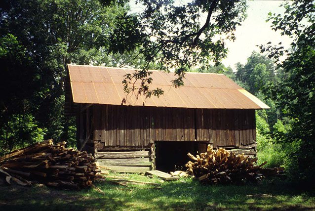
The John Litton Farm Loop begins and ends at Bandy Creek Campground and Visitor Center. Sources put the loop at anywhere from 5.6 to 6.3 miles. A local newspaper guide says the trail starts across from the swimming pool parking lot, follows Duncan Hollow Road briefly, and then parallels Fall Branch for a couple of miles. Where Fall Branch meets the North Fork of Fall Branch, it turns left to the farm, then climbs to the ridgetop and follows the gravel John Litton Road and Duncan Hollow Road back. The park’s challenge booklet describes Fall Branch Falls as a 10-foot waterfall with a hidden walkway underneath, reached from the loop, and another guide adds numerous rock shelters and a hemlock cove forest. Online reviewers mention about a mile of the loop on a dirt road, wet spots along the way, and wild iris and lady’s slippers in bloom, and some recommend hiking it counterclockwise.
To make it an overnight, one trail listing shows a 16.1-mile loop that combines the Angel Falls overlooks, the Grand Gap section, and the John Litton area, while a park partner lists a 27-mile John Litton route. Our Angel Falls Overlook and Grand Gap guide covers the overlook end of that loop, and our John Muir route guide covers the long trail it links with.
Tips
- Plan overnight parking. The Bandy Creek Visitor Center lot is day use only. Use the Bandy Creek Pool lot or the F-loop lot for overnight parking.
- Respect the historic sites. Camping is prohibited in historic cabins and structures, and within 100 feet of a cave, rock shelter, arch, or trail.
- Bring blaze orange in hunting season. Hunting is allowed in the park.
Camping
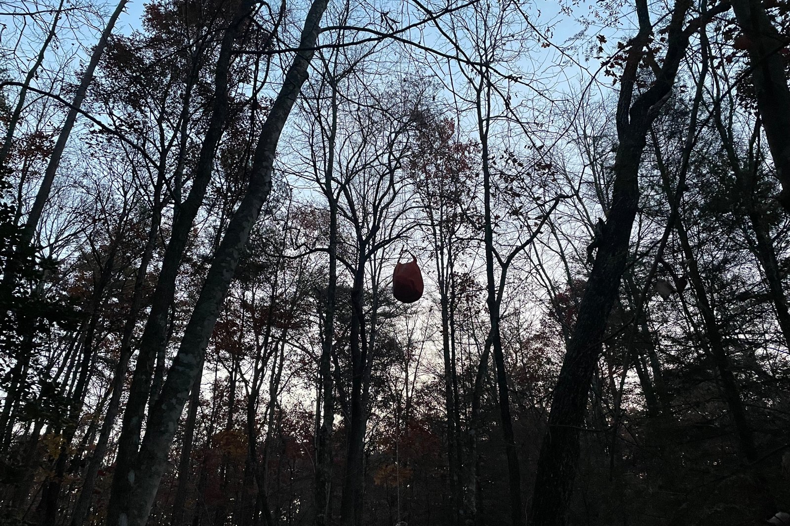
A backcountry permit is required, valid for one trip of up to 14 days at one site. The park has no designated backcountry sites, so use an existing site rather than creating a new one. Camping is not permitted within 100 feet of a paved road or visible from one, and not at developed parking areas. Fires are allowed unless a restriction is posted, and only dead and down wood may be burned. Hang food 10 feet up and 4 feet out, and keep food away from your tent.
Inside Intel: One online reviewer of the 16.1-mile loop says there are plenty of campsites. Since sites are not assigned, the best tip is to scout for an existing site early in the day, well before dark.
Trail facts
- Distance: About 27 miles for the park’s John Litton route (a partner overview). One listed loop through Angel Falls, Grand Gap, and John Litton is 16.1 miles.
- Route type: Loop or multi-day route
- Difficulty: Hard
- Elevation: About 1,666 feet of gain on the 16.1-mile listed loop
- Campsites: No designated sites. Use existing sites and follow the park’s setback rules.
- Water: Confirm before you go. Filter all water.
- Permits: Required for every overnight. Check the park’s website for current fees and how to get one.
- Bear and food storage: Hang food 10 feet up and 4 feet out. Keep it out of your tent.
- Dogs: Allowed on a leash no longer than 6 feet
- Trailhead: Bandy Creek area or Leatherwood Ford, depending on your route
- Last verified: September 24, 2026
Have a great pic of this trail? Post it to Instagram and tag us, and we might use it on the site.
More Lowdown from Backpack Trail Guide
Where this comes from
This page draws on the sources below, along with other guides and trip reports. Links go to the original pages.
- National Park Service: Big South Fork backcountry camping permits
- National Park Service: Big South Fork backcountry hiking and camping
- National Park Service: Big South Fork 2018 healthy hikes
- National Park Service: Big South Fork GO BIG 2024 challenge booklet (PDF)
Before you go: This page is based on published trail guides, trip reports, and reviews, along with official park and agency information where we could find it. It’s meant to help backpackers discover new trails, not to replace current, official information. Conditions, closures, permits, campsites, and water sources change, and some details here may be out of date or wrong. Confirm everything with the managing agency and check current conditions before you head out, and don’t rely on this page alone for safety or navigation. Backcountry travel involves risk.