
Trails / Tennessee / Great Smoky Mountains
Appalachian Trail: Newfound Gap to Kuwohi
Great Smoky Mountains National Park (ridge along the Tennessee–North Carolina line)
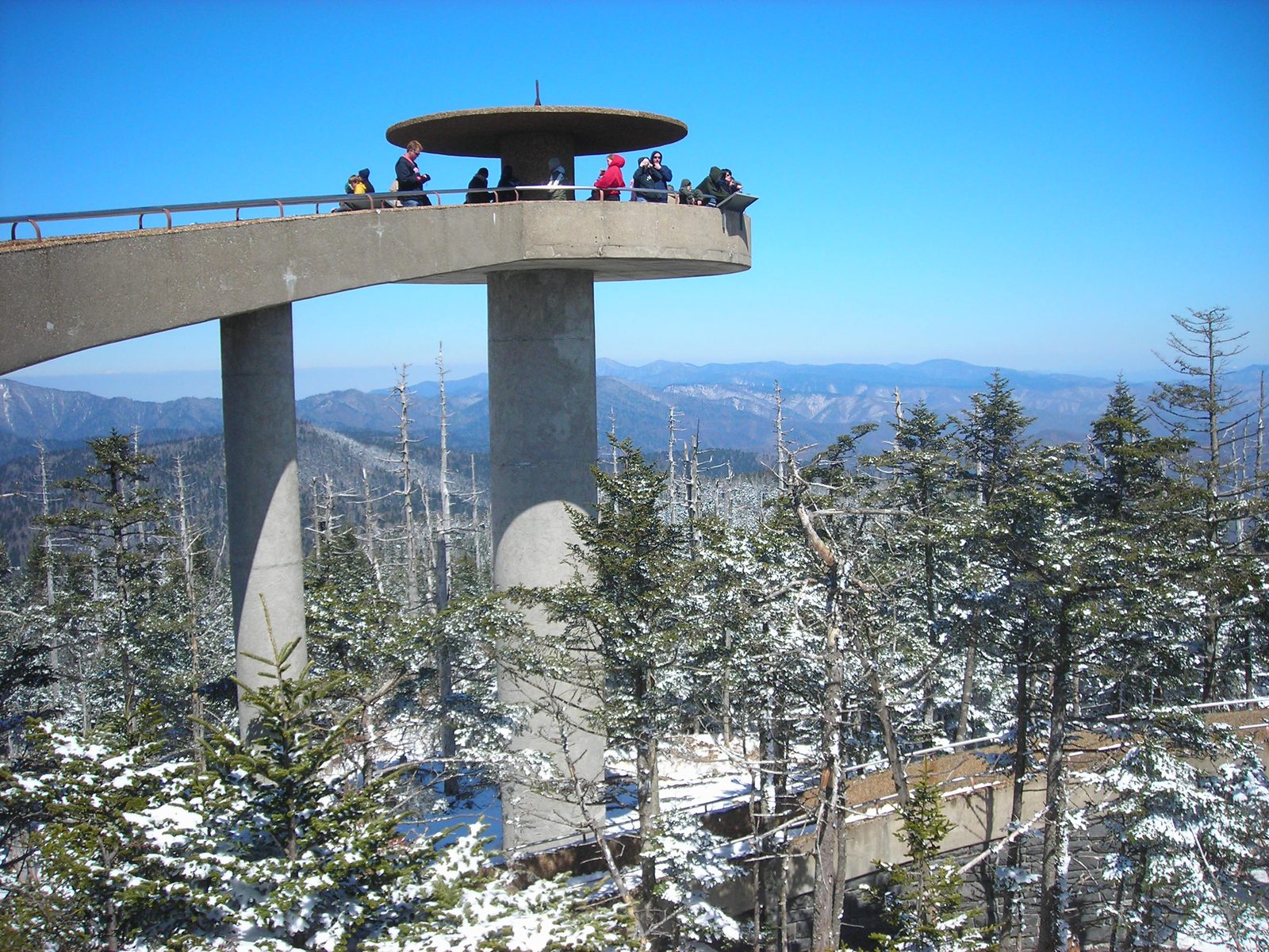
This is the classic ridge walk to the highest point on the entire Appalachian Trail. You’ll cover 7.5 miles from Newfound Gap to Kuwohi, formerly Clingmans Dome, mostly through spruce and fir forest, with shelters on either side of Kuwohi if you want to make it an overnight.
The hike
The trail leaves Newfound Gap at about 5,050 feet and follows the Appalachian Trail southwest along the ridge, climbing gradually through spruce-fir forest that one guide says feels like a rainforest on wet days. The AT straddles the Tennessee–North Carolina line for its whole length through the park. This stretch roughly parallels the Kuwohi road, and the same guide says you can sometimes hear cars but not often enough to spoil the hike. Reviewers describe roots, giant steps, and rocky sections, and a path that turns muddy and slippery after rain. The guide describes young spruce-firs, dead and decaying trees, and moss and lichen blanketing the wet undergrowth, and one writer says adelgid has decimated the fir trees on the high ridges.
Near Mount Collins, the AT passes junctions with the Sugarland Mountain Trail, which leads to the Mount Collins Shelter, and the Fork Ridge Trail, where the Mountains-to-Sea Trail leaves the AT. Mount Collins is a broad, tree-covered summit, and one guide says its views are limited. One reference lists it at 6,188 feet, while that guide gives 6,118. One backpacking site says it was named for Robert Collins, an Oconaluftee resident who guided the geographer Arnold Guyot across the crest of the Smokies in the late 1850s. The Mount Collins Shelter sleeps about twelve on two platforms in an original stone building, according to that site, and sources place it anywhere from about 3.5 to 5 miles from Newfound Gap.
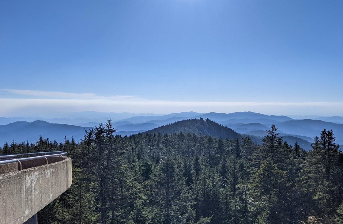
Kuwohi is the highest point in the park and on the entire Appalachian Trail, at 6,643 feet. The AT crosses the mountain just north of the observation tower, and you hike past its base. A steep half-mile paved path leads up from the parking area to the observation tower, which the park lists at 45 feet tall and which offers 360-degree views, and one guide says you can see 100 miles on a clear day. On cloudy days, it warns, you won’t see much. Kuwohi means “mulberry place” in Cherokee, and a Smokies visitor guide calls it a sacred place where medicine people once prayed and sought guidance. In 1859 the geographer Arnold Guyot named it Clingmans Dome. One reference lists two subpeaks, Mount Buckley to the west and Mount Love to the east.
If you’re planning an overnight, the nearest AT shelters are the Mount Collins Shelter to the east and Double Spring Gap Shelter, about 2.6 miles west of Kuwohi near the Goshen Prong junction. The road to Kuwohi normally closes from December 1 to April 1, and this stretch of the AT is the only way to reach the summit in those months. Parking lots sit at both ends, so a one-way trip needs two vehicles.
For more of the same ridge, the AT also leads east from Newfound Gap to Charlies Bunion, which our Icewater Spring and Charlies Bunion guide covers. The Alum Cave guide climbs Mount LeConte from the same road.
Tips
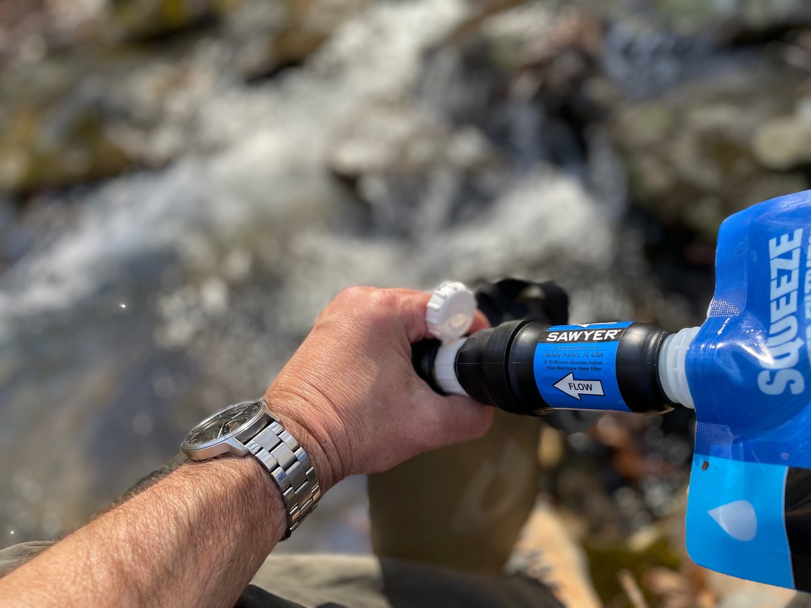
- Carry water. The route follows a ridge with very little water.
- Start early, and don’t plan on a late arrival. One reviewer who started at noon took about four hours to summit and saw no one else on the trail.
- Pack for cold and wet. Temperatures at 5,000 feet can run 10 to 20 degrees cooler than the valleys, and ice appears on the trail in cold seasons.
- Leave the dog at home. Dogs aren’t allowed on this trail.
Camping
Two AT shelters bracket Kuwohi. Mount Collins Shelter lies about 4 miles east of Kuwohi, near the junction with the Sugarland Mountain Trail. Double Spring Gap Shelter is about 2.6 miles west of Kuwohi. It sleeps twelve and has a privy. Every overnight in the Smokies backcountry requires a permit and reservation, booked online, and shelter stays are limited to one night.
Inside Intel: Treat weather on this ridge as a real hazard. A trail log for Double Spring Gap Shelter notes that two hikers were killed there by lightning in 1980, so if a storm builds, get off the ridge and keep clear of exposed high ground. Reviewers describe the trail itself as quiet, while the tower area can be packed by afternoon.
Trail facts
- Distance: 7.5 miles one way
- Route type: Point to point (two vehicles), or out and back
- Difficulty: Moderate to hard
- Elevation: From about 5,050 feet at Newfound Gap to 6,643 feet at Kuwohi
- Campsites: Mount Collins Shelter (about 4 miles east of Kuwohi); Double Spring Gap Shelter (about 2.6 miles west of Kuwohi; sleeps 12; privy)
- Water: Very little on the ridge. Treat all water.
- Permits: Required for every overnight. Reserve online; check the park’s site for current fees and booking window.
- Bear storage: Cables at shelters. Use them.
- Dogs: Not allowed
- Trailhead: Newfound Gap parking area, Newfound Gap Road (US 441), on the state line; Kuwohi parking area at the end of Kuwohi Road
- Last verified: September 23, 2026
Have a great pic of this trail? Post it to Instagram and tag us, and we might use it on the site.
More Lowdown from Backpack Trail Guide
Where this comes from
This page draws on the sources below, along with other guides and trip reports. Links go to the original pages.
- National Park Service: Hike to Kuwohi
- National Park Service: Kuwohi Observation Tower
- Wikipedia: Kuwohi
Before you go: This page is based on published trail guides, trip reports, and reviews, along with official park and agency information where we could find it. It’s meant to help backpackers discover new trails, not to replace current, official information. Conditions, closures, permits, campsites, and water sources change, and some details here may be out of date or wrong. Confirm everything with the managing agency and check current conditions before you head out, and don’t rely on this page alone for safety or navigation. Backcountry travel involves risk.