
Trails / Tennessee / Cherokee National Forest and AT
Roan Highlands: Carvers Gap to Yellow Mountain Gap
Roan Highlands, Cherokee and Pisgah National Forests (Appalachian Trail along the Tennessee–North Carolina line)
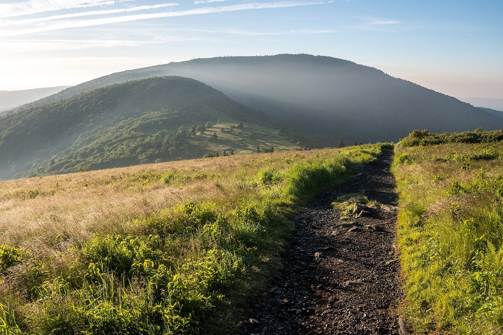
The Roan Highlands are a well-known stretch of grassy balds on the Appalachian Trail: open, rolling summits with 360-degree views, wildflower meadows, and blueberry thickets. Starting from Carvers Gap, the Appalachian Trail carries you over three of them in the first few miles, and the whole trip works as a quick overnight for a first-time backpacker.
The hike
From the Carvers Gap parking area, cross the road, pass through a wooden fence, and head north on the AT. Catawba rhododendron lines the trail at first, followed by a small stand of spruce-fir forest, and one hiking site says the path is mostly gravel and well maintained, because so many people use it. The Roan Highlands are, according to a regional trail guide, the longest stretch of grassy balds in the Appalachian Mountains, spanning nearly 1,000 acres.
Round Bald comes first, about 0.7 miles in, at roughly 5,825 feet, with 360-degree views of the North Carolina, Tennessee, and Virginia mountains. Jane Bald follows about three-quarters of a mile later, at about 5,807 to 5,811 feet, and a wide slab-rock outcrop near its summit offers views. Accounts of the name differ: one reference repeats a local legend about a woman named Jane who died of milk sickness while crossing the mountain, while a local hiking club says it comes from Jane Cook, whose sister Harriet died of milk sickness on the bald in November 1870.
From Jane Bald the AT drops into a gap and then climbs more than 400 feet toward Grassy Ridge Bald. The spur to Grassy Ridge Bald is about a mile out and back and worth the detour for lunch and the views. One Asheville travel guide describes it as a steep, somewhat rocky walk through a dense rhododendron tunnel. Atop the summit, at 6,184 feet by one reference’s count and 6,189 by others, there’s a plaque dedicated to Cornelius Rex Peake, who the hiking club says owned and donated much of the mountain, and Grandfather Mountain is visible to the north. Past the spur, the trail drops through hardwoods to Low Gap and the Stan Murray Shelter, at 3.3 to 3.5 miles depending on the source.
From there the trail continues to Yellow Mountain Gap at 5.5 miles, where the Overmountain Victory Trail crosses the AT. A regional travel guide says the gap is the route the Overmountain Men took in 1780 on their march to the Battle of Kings Mountain, and mentions their old road, Bright’s Trace. The regional trail guide describes the historic red barn near the gap as having gorgeous valley views, but it is closed, as the camping section explains.
The way back is the same route: from the gap a steady climb of more than 1,200 feet over 3.6 miles takes you up to the Grassy Ridge spur, then a rolling return over the balds to Carvers Gap.
West of Carvers Gap the AT climbs through spruce-fir forest to Roan High Knob, the site of the highest-elevation shelter on the AT, and our Iron Mountain Gap to US 19E guide covers that route. The regional trail guide says the balds are exceptional in winter, with frosty sunrises and sunsets, and the travel guide says rhododendron bloom draws visitors in late June. A paved road from Carvers Gap leads to the Roan Mountain rhododendron gardens.
Tips
- Use the boot brush at Carvers Gap. The Roan Highlands host six federally listed species, and the brush keeps invasive plants out.
- Grassy Ridge is a dead end. One hiker flags it as a spur, not the main trail.
- Bring layers. Reviewers report gusty winds and chilly weather in every season, and the trail was icy in a freeze-thaw spell.
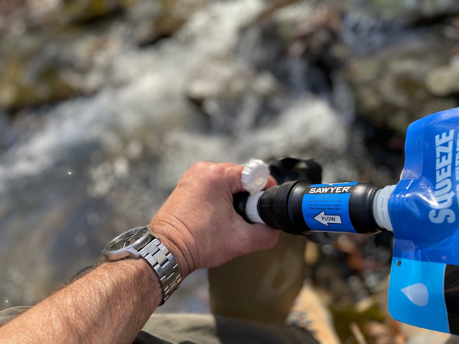
- Plan your water. Sources include the spring at Carvers Gap, springs near Stan Murray Shelter, and a spring near Yellow Mountain Gap. Sources on the balds themselves are scarce.
Camping
Camping is allowed along the AT here at select areas, and one route guide says no permits are required for this stretch. Stan Murray Shelter is small but has campsites with good tree cover around it. The Overmountain Shelter, the historic red barn at Yellow Mountain Gap, is closed. One source says it was taken apart in late 2023, but the big grassy field beside it is still used for camping. Water is a short walk away, with a spring about 0.2 to 0.3 miles from the field, depending on the guide. Roan Highlands’ official site warns that the balds are poorly suited for camping because they offer little shelter and strong winds.
Inside Intel: Opinions differ. Some hikers say a far better option than any shelter is a campsite on the balds, with sunrise and sunset views you won’t get in the trees. Little Hump, the gap beyond it, and Hump Mountain are the most popular dispersed areas, and there are also sites near Jane Bald and Grassy Ridge. The trade-offs are cold, windy nights and no water. One guide says the last reliable fill-up is a stream below Little Hump. If the forecast is rough, the lower sites at Stan Murray or the Yellow Mountain Gap field offer more protection than the open balds, which the official Roan Highlands site warns are exposed. Always use an established site.
Trail facts
- Distance: 5.5 miles one way from Carvers Gap to Yellow Mountain Gap (11 miles round trip)
- Route type: Out and back, or continue on the AT toward US 19E
- Difficulty: Moderate
- Campsites: Stan Murray Shelter area; Yellow Mountain Gap field (former Overmountain Shelter); balds and gaps (Round, Jane, Grassy Ridge, Little Hump) at established sites
- Water: Carvers Gap spring; springs near Stan Murray Shelter; spring near Yellow Mountain Gap. Scarce on the balds. Filter all water.
- Permits: One guide says none required. Confirm with the forest.
- Trailhead: Carvers Gap parking area, TN 143 / NC 261
- Last verified: October 17, 2026
Have a great pic of this trail? Post it to Instagram and tag us, and we might use it on the site.
More Lowdown from Backpack Trail Guide
Where this comes from
This page draws on the sources below, along with other guides and trip reports. Links go to the original pages.
- TEHCC Wiki: Carver’s Gap to US 19E
- Asheville Trails: Roan Mountain hikes
- Asheville Trails: Roan Highlands to the Overmountain Shelter
- Explore Asheville: Roan Mountain hike on the Appalachian Trail
- U.S. Forest Service: Roan Mountain fire restrictions
- Appalachian Trail Conservancy: Helene hiker info
Before you go: This page is based on published trail guides, trip reports, and reviews, along with official park and agency information where we could find it. It’s meant to help backpackers discover new trails, not to replace current, official information. Conditions, closures, permits, campsites, and water sources change, and some details here may be out of date or wrong. Confirm everything with the managing agency and check current conditions before you head out, and don’t rely on this page alone for safety or navigation. Backcountry travel involves risk.