
Trails / North Carolina / Nantahala National Forest
Panthertown Valley Loop (Mac's Gap, Little Green and Schoolhouse Falls)
Panthertown Valley Backcountry Area, Nantahala National Forest (near Cashiers)
Panthertown Valley is a 6,300-acre backcountry area on the Eastern Continental Divide near Cashiers, with granite domes, bogs and a lot of waterfalls packed into a small space. The forest calls it the “Yosemite of the East,” and on a clear day it’s easy to see why.
This loop from Salt Rock Gap takes in two waterfalls and a granite summit in about 5.5 miles. It’s short, and that’s the point: it’s a good first overnight, or an easy one with time left for a swim.
The hike
The route starts at the Salt Rock Gap Trailhead, on the valley’s west side. One trail site describes it as the Panthertown Valley Trail (#474), a gravel road behind a Forest Service gate, dropping into the valley. About 0.1 mile in, the Salt Rock overlook gives a view across the whole valley, and one guide notes the open view of Little Green Mountain’s western granite face from Salt Rock Gap.
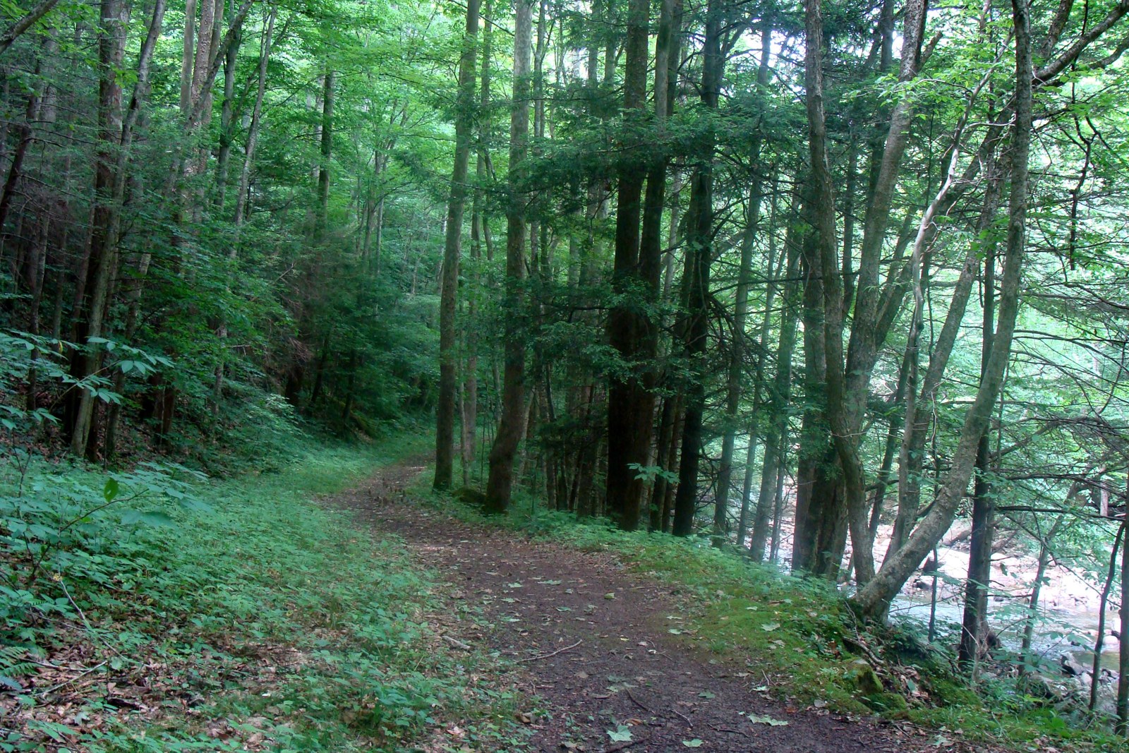
Turn right onto Mac’s Gap Trail (#482). The same trail site describes a narrow path through hardwoods, then pine forest. A 2011 trip report calls Mac’s Gap a flat, straight trail cushioned with pine needles. At about 1.3 miles, a spur of roughly 200 yards leads right to Granny Burrell Falls, which one guide calls “a natural water slide over striped rock slab.” The forest lists the Granny Burrell Falls Trail (#486) at 0.31 mile, linking Mac’s Gap with the Great Wall Trail.
Back on Mac’s Gap, the trail runs along the valley floor to Little Green Trail (#485) at about 2.3 miles. Turn left. The climb starts moderate, then gets steep, with a series of steps. The 2011 report puts the trail at almost a mile with about 800 feet of climbing. On top, the route crosses bare rock that can be hard to follow, so watch for green markers on trees and exposed roots, or the faint painted arrows one magazine writer mentions. Little Green is a granite dome, which one guide calls “uncommon to southern Appalachia,” with Blackrock Mountain to the northwest.
Near the summit, a user path through a tight rhododendron tunnel leads to Tranquility Point, an overlook that one trail site calls hard to find. Then the trail drops steeply off the back of the mountain to Schoolhouse Falls, where a short raised boardwalk follows the falls. One magazine article puts the falls at 25 feet and recommends it for swimming. Turn left on the Panthertown Valley Trail to return to Salt Rock Gap.
Panthertown has a long history of hard use. The county tourism site says loggers cleared much of the valley, pines were planted in the 1960s for a planned mountain resort, and the Nature Conservancy bought the land in 1989 and transferred it to the Forest Service. A nonprofit, Friends of Panthertown, now helps the forest maintain the trails.
For a longer weekend, the forest’s Big Green Trail (#487), 1.35 miles, connects Mac’s Gap with the Great Wall Trail. One 2024 trip report camped on Big Green’s summit after a long day around the valley. A 2012 three-day magazine itinerary starts from Cold Mountain Gap instead and adds Powerline Road Trail, with its sliding and swimming falls. For bigger Nantahala country, see the Standing Indian loop or Joyce Kilmer-Slickrock.
Tips
- Bring a real map. The county tourism site says signage is minimal, and campers report many unofficial paths. A good map and compass or GPS app matters more here than the short mileage suggests.
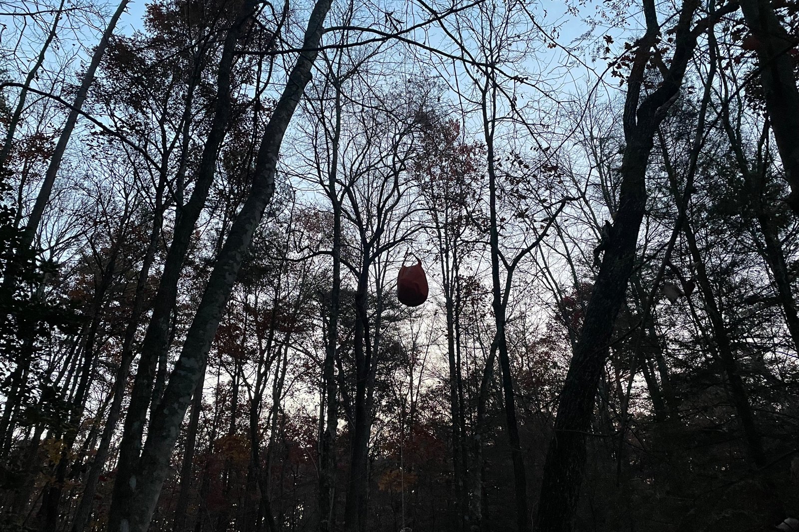
- Use a bear canister. Bears have a long history here, and a forest order once required canisters. For most people, a canister is simply the easier way to sleep well.
- Drive in prepared. The forest recommends four-wheel drive on the rough roads to the parking areas, and the county site says the lots fill quickly on weekends.
- Stay back from the top of waterfalls. The county site warns they can cause serious injury or death, especially when approached from above.
- Carry a cathole trowel. The forest says there are no restrooms.
Camping
The forest says camping is permitted in Panthertown, with no more than 12 people per site, and no fees. There are no designated campsites, no restrooms and no potable water. The county tourism site says no permit or reservation is needed for individuals or noncommercial groups, and asks campers to use existing fire rings, burn only dead wood from the ground, and camp at least 50 feet from water, ideally 200.
Bears are the main issue. A 2022 forest order required bear-resistant containers for all food and trash in most of the valley, through April 25, 2024, or until ended, and a 2022 news report says three bear lockers were installed. No renewal was found, so check with the ranger district, and plan on a canister either way.
Inside Intel: Campers on one review site point to a few good spots. One 2019 reviewer found “the sites near the middle of Macs Gap trail are huge,” with easy access to a couple of streams. Another, in 2021, found Green Valley “the most secluded” and the site along the main Panthertown Valley Trail noisy. Tranquility Point fits about four tents on a large rock face, the site says, but has no water nearby; one camper notes “the nearest source is back at schoolhouse falls,” about 0.4 mile away. A 2012 magazine itinerary camped in a flat, sheltered pine forest on the Little Green Trail.
Trail facts
- Distance: About 5.5 miles (5.5 to 6, depending on the source)
- Route type: Loop with a short out-and-back from the trailhead
- Difficulty: Moderate; about 800 feet of climbing, with a steep, stepped climb up Little Green
- Campsites: Dispersed sites along Mac’s Gap Trail, on Little Green and at Tranquility Point (camper reports); 12 people per site
- Water: Panthertown Creek, Granny Burrell and Schoolhouse Falls; none at Tranquility Point; no potable water anywhere; treat all water
- Permits: None for individuals or noncommercial groups
- Food storage: Bear canister strongly advised; confirm whether the canister order is in force
- Dogs: One trail site lists dogs on leash
- Trailhead: Salt Rock Gap, via Cedar Creek Road off US 64 east of Cashiers (four-wheel drive advised)
- Contact: Nantahala Ranger District, Franklin, 828-524-6441
- Last verified: November 3, 2026
Have a great pic of this trail? Post it to Instagram and tag us, and we might use it on the site.
More Lowdown from Backpack Trail Guide
Where this comes from
This page draws on the sources below, along with other guides and trip reports. Links go to the original pages.
- Forest Service: Panthertown Valley Backcountry Area
- Forest Service: Granny Burrell Falls Trail 486
- Forest Service: Big Green Trail 487
- Forest Service: Panthertown Valley food storage order 08-11-11-21-123 (PDF)
- Forest Service: National Forests in North Carolina closure orders
- News archive: Bear canisters required in Panthertown (2022)
- AOL: Panthertown Valley campers now required to use bear-resistant canisters
- N2Backpacking: Forest Service discourages backcountry camping in Panthertown Valley
- Trail Run Project: Panthertown Valley Loop
- Backpacker: Asheville: Panthertown Valley Loop
- Blue Ridge Outdoors: Yosemite of the East
- Discover Jackson NC: Insider’s guide to Panthertown Valley
- The Dyrt: Panthertown Valley Backcountry Area
- Internet Brothers: Panthertown Trail System (2011)
- Erik Hogan, Field Notes: Panthertown Valley, Day 1
Before you go: This page is based on published trail guides, trip reports, and reviews, along with official park and agency information where we could find it. It’s meant to help backpackers discover new trails, not to replace current, official information. Conditions, closures, permits, campsites, and water sources change, and some details here may be out of date or wrong. Confirm everything with the managing agency and check current conditions before you head out, and don’t rely on this page alone for safety or navigation. Backcountry travel involves risk.