
Waimea Canyon: Kukui Trail to Wiliwili Camp and Koaiʻe Canyon
Waimea Canyon State Park and Puʻu ka Pele Forest Reserve (west Kauaʻi); camps managed by the Division of Forestry and Wildlife
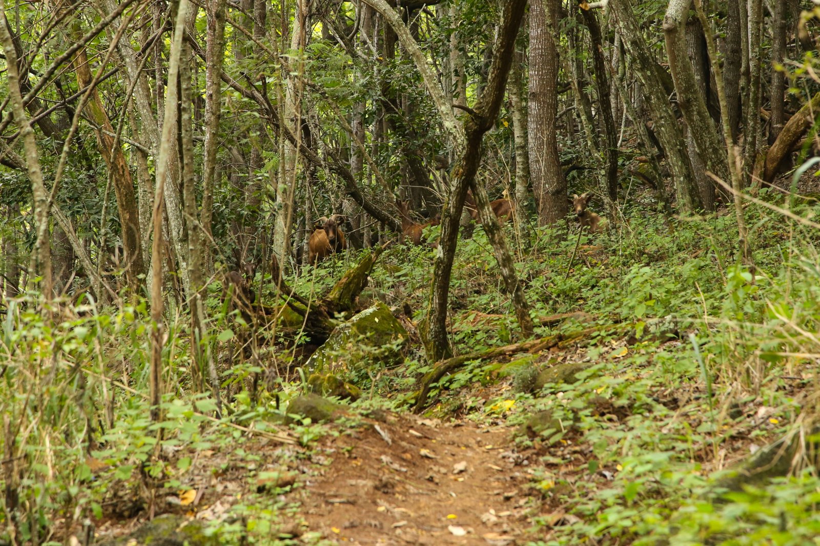
The Kukui Trail drops into Waimea Canyon on Kauaʻi’s west side, losing about 2,200 feet in 2.5 miles to Wiliwili Camp beside the Waimea River. From there, backpackers can follow the river and turn up Koaiʻe Canyon to more shelters, ending at Lonomea, which one hiker calls “one of the most beautiful places to camp within the Waimea Canyon.”
It’s closed right now. Hurricane Lowell passed Kauaʻi on Sept. 7-8, 2026, and the state says all Kauaʻi camping remains closed, with Kōkeʻe Road closed until further notice. This page describes the trip for when it reopens.
The hike
Hawaiʻi State Parks puts the Kukui trailhead on Highway 550, about 0.75 mile past the 8-mile marker in Waimea Canyon State Park. Noah Lang calls it the Iliau-Kukui Trailhead. The state describes a scenic 2.5-mile trail down the western side of the canyon to Wiliwili Camp, with a descent of 2,000 to 2,240 feet. The state’s Wiliwili listing estimates about two hours to the bottom. Lang measured 2.6 miles and 2,210 feet and recommends trekking poles for the steep descent.
At the bottom, the state’s listing describes Wiliwili Camp near the Waimea River with a trail shelter, a composting toilet, picnic tables, and a pavilion. Lang notes the camp is surrounded by native wiliwili forest and is the lowest point of the trip.
From Wiliwili, Lang follows the Waimea River upstream for about 0.8 mile, with three river crossings, to the mouth of Koaiʻe Canyon. Earlier research for this site, drawing on state sources, placed another camp, Kaluahaulu, about 0.8 mile upriver from Wiliwili.
Lang then climbs Koaiʻe Canyon. Hipalau shelter comes 0.6 mile up the canyon, and Lonomea is 2.6 miles up Koaiʻe Canyon, about 810 feet higher. Lang describes Lonomea’s waterfall and swimming hole with “beautiful river access and swimming” right from camp, and counts the whole trip at 12.2 miles round trip.
The canyon is also a public hunting area. The state’s Wiliwili listing says bright-colored clothing is required. The listing warns of flash flooding during heavy rain, and Lang warns specifically against Kawaiʻiki Valley in wet weather.
The climb back out is the full 2,200 feet in 2.5 miles, so leave time and water for it.
For Kauaʻi’s other big backpacking trip, see the Kalalau Trail, which is also closed after the hurricane.
Tips
- Check the closure first. All Kauaʻi camping is closed after Hurricane Lowell.
- Treat all water. The state warns of leptospirosis in untreated water and recommends boiling or chemical treatment.
- Wear bright colors. The canyon is an active public hunting area.
- Stay out of rising rivers. Flash floods are the main canyon hazard.
- Bring a bug net. Lang says mosquitoes are bad in the evening.
- Don’t leave valuables in the car. Lang calls the trailhead parking a high-crime area.
Camping
The canyon camps are managed by the state Division of Forestry and Wildlife, and camping requires an advance permit, per Hawaiʻi State Parks. The Wiliwili listing says there are absolutely no open fires in the canyon; all fires must be in a containment device such as a gas stove. Water at the camps is non-potable stream water. Lang says Lonomea gets only one permit per night, released 90 days in advance.
Inside Intel: Lang recommends pushing on to Lonomea, calling it “one of the most beautiful places to camp within the Waimea Canyon,” with a waterfall and swimming hole at camp and only one party a night. Hipalau, 0.6 mile up Koaiʻe Canyon, is a closer option on the same route.
Trail facts
- Distance: 2.5 miles one way to Wiliwili (5 round trip); about 12.2 miles round trip to Lonomea (Noah Lang)
- Route type: Out-and-back
- Difficulty: Strenuous; steep descent and climb, river crossings
- Elevation: About 2,200 feet down to the Waimea River; about 810 feet up Koaiʻe Canyon to Lonomea
- Campsites: Wiliwili (2.5 miles), Kaluahaulu (about 0.8 mile upriver), Hipalau (0.6 mile up Koaiʻe Canyon), Lonomea (end of the Koaiʻe trail; one permit per night)
- Water: Streams and rivers only; boil or chemically treat
- Permits: Advance state camping permit
- Fires: No open fires; stoves only
- Hunting: Public hunting area; wear bright colors
- Trailhead: Highway 550, about 0.75 mile past the 8-mile marker
- Last verified: October 6, 2026
Where this comes from
This page draws on the sources below, along with other guides and trip reports. Links go to the original pages.
- Hawaiʻi State Parks: Kukui Trail
- Hawaiʻi DLNR camping: Wiliwili campsite details
- Hawaiʻi State Parks: Important Park Notices
- Beat of Hawaii: Six Kauai State Parks Remain Closed
- Hoodline: Hawaiʻi reopens most state parks after Hurricane Nolo
- Noah Lang Photography: Kukui Trail to the Lonomea Shelter
Before you go: This page is based on published trail guides, trip reports, and reviews, along with official park and agency information where we could find it. It’s meant to help backpackers discover new trails, not to replace current, official information. Conditions, closures, permits, campsites, and water sources change, and some details here may be out of date or wrong. Confirm everything with the managing agency and check current conditions before you head out, and don’t rely on this page alone for safety or navigation. Backcountry travel involves risk.