
Trails / Georgia / North Georgia Mountains
Coosa Backcountry Trail (Vogel State Park)
Vogel State Park and Chattahoochee National Forest, including Blood Mountain Wilderness (US 19/129, south of Blairsville)
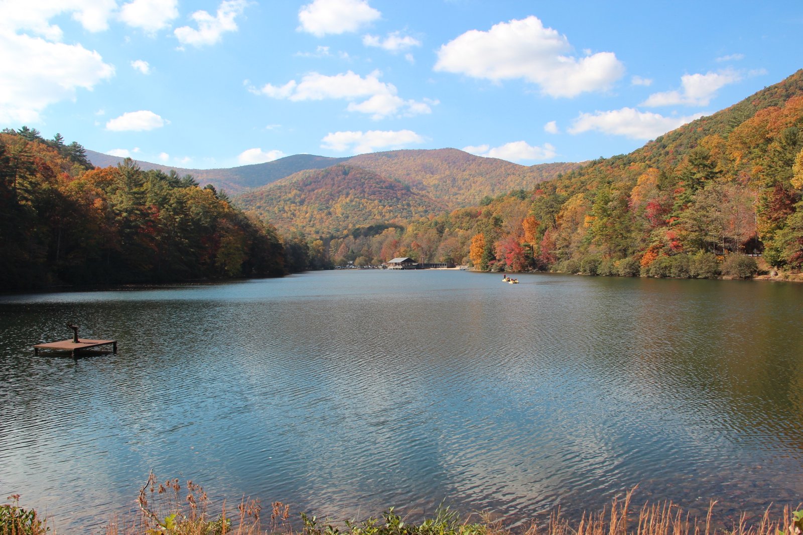
The Coosa Backcountry Trail is Vogel State Park’s big loop, climbing out of the park into the Chattahoochee National Forest and the Blood Mountain Wilderness, over the ridges south of Blairsville. Georgia State Parks lists it as a 12.9-mile partial loop, foot travel only, with backcountry camping by permit. AllTrails calls it a popular trail for backpacking with a significant elevation gain, more than 3,600 feet by its count.
It’s a steep, demanding loop, starting and ending in the state park.
The hike
Georgia State Parks’ trail map describes the Coosa Backcountry Trail as a 12.9-mile partial loop, starting at the backcountry trailhead and following a green-blazed access trail to the loop itself. It lists an average travel time of 9 hours, an average grade of 15 percent with a maximum of 60 percent over 250 feet, and a narrow, compacted natural-soil tread. It’s for foot travel only.
The trail starts in the park. AllTrails gives the directions from Blairsville: take US 19 and 129 south for 10 miles and turn right into Vogel State Park. The park map shows the entrance for the Coosa, Bear Hair, and Byron Reece trails in the same area, along with Lake Trahlyta and the Trahlyta Falls spur.
The loop heads into the national forest. AllTrails says the trail runs through the Chattahoochee National Forest and the Blood Mountain Wilderness, and lists Slaughter Mountain and Wildcat Knob among its peaks. The park map also shows connections to the Duncan Ridge Trail and the Appalachian Trail.
Wikipedia describes the loop: it fords streams on its lower segments, climbs Duncan Ridge near the summit of Coosa Bald at over 4,000 feet, where it joins the Duncan Ridge Trail, crosses Wildcat Knob, and descends to Wolfpen Gap at State Route 180. Across the gap, it climbs steeply up Slaughter Mountain to Slaughter Gap, where the two trails split, then makes a steep 2,000-foot descent to join the Bear Hair Gap Trail back to the start. The Georgia State Parks trail page says hikers climb and descend more than a mile of elevation, crossing three ridgelines. Secret Falls says the park’s rangers strongly recommend it as a backpacking trip rather than a day hike, suggests hiking it counterclockwise, and warns of poison ivy along the first half in that direction.
The Coosa links to longer routes. Wikipedia says the eastern end of the Duncan Ridge Trail combines with the Coosa Backcountry Trail and ends in the Blood Mountain Wilderness, where it reconnects with the Appalachian Trail. That makes the Coosa a possible piece of a longer trip combining the Duncan Ridge Trail and the AT.
The climbing is the main challenge. AllTrails rates the trail hard, at 13.9 miles with about 3,628 feet of gain, and estimates 8 to 9 hours. A reviewer who backpacked it in March 2026 noted easy parking, great conditions, and great views.
Water needs care. The park map says the backcountry trails cross several streams and pass nearby water sources, but that the purity of these sources can’t be guaranteed. Treat all water.
Vogel itself has plenty of developed camping for a night before or after. The park map lists 35 cottages, 103 campsites, and a rustic pioneer area used for group camping.
For the Appalachian Trail stretch over nearby Blood Mountain, see Woody Gap to Unicoi Gap.
Tips
- Get a backcountry permit. Georgia State Parks says camping on the Coosa is by permit.
- Plan for a long day. The park lists an average travel time of 9 hours for the loop.
- Treat all water. The park can’t guarantee stream water purity.
- Expect steep grades. The park map lists sections up to 60 percent.
- Foot travel only. No bikes or horses on the Coosa.
Camping
Georgia State Parks says backpack camping is allowed on the Coosa Backcountry Trail by permit, with sites available first come, first served. The park also has 103 developed campsites, 35 cottages, and a group pioneer area. Contact Vogel State Park for permit details and current campsite information.
Inside Intel: Backpacker’s clockwise trip report notes several small campsites: one beside a set of waterfalls low on the loop, one with no water on the climb toward Slaughter Gap, another about 50 yards down the ridge from the Duncan Ridge Trail junction, and one near the Coosa Bald junction. Plan water carefully, since not every site has it.
Trail facts
- Distance: About 12.9 miles (Georgia State Parks); 13.9 per AllTrails
- Route type: Partial loop
- Difficulty: Strenuous. About 3,600 feet of gain (AllTrails).
- Campsites: Backcountry sites by permit, first come, first served; several small sites along the loop (Backpacker)
- Water: Streams; purity not guaranteed. Treat all water.
- Permits: Backcountry permit required
- Trail use: Foot travel only
- Trailhead: Vogel State Park backcountry trailhead, off US 19/129 south of Blairsville
- Last verified: October 2, 2026
Where this comes from
This page draws on the sources below, along with other guides and trip reports. Links go to the original pages.
- Georgia State Parks: Vogel State Park trail map (PDF)
- AllTrails: Coosa Backcountry Trail
- Georgia State Parks: Trails at Vogel State Park
- Wikipedia: Vogel State Park
- Backpacker: Coosa Backcountry Loop
- Secret Falls: Coosa Backcountry Trail
- Wikipedia: Duncan Ridge Trail
Before you go: This page is based on published trail guides, trip reports, and reviews, along with official park and agency information where we could find it. It’s meant to help backpackers discover new trails, not to replace current, official information. Conditions, closures, permits, campsites, and water sources change, and some details here may be out of date or wrong. Confirm everything with the managing agency and check current conditions before you head out, and don’t rely on this page alone for safety or navigation. Backcountry travel involves risk.