
Trails / Georgia / North Georgia Mountains
Conasauga River Trail (Cohutta Wilderness)
Cohutta Wilderness, Chattahoochee National Forest, Conasauga Ranger District (Betty Gap to FS 17B, near Ellijay and Crandall)
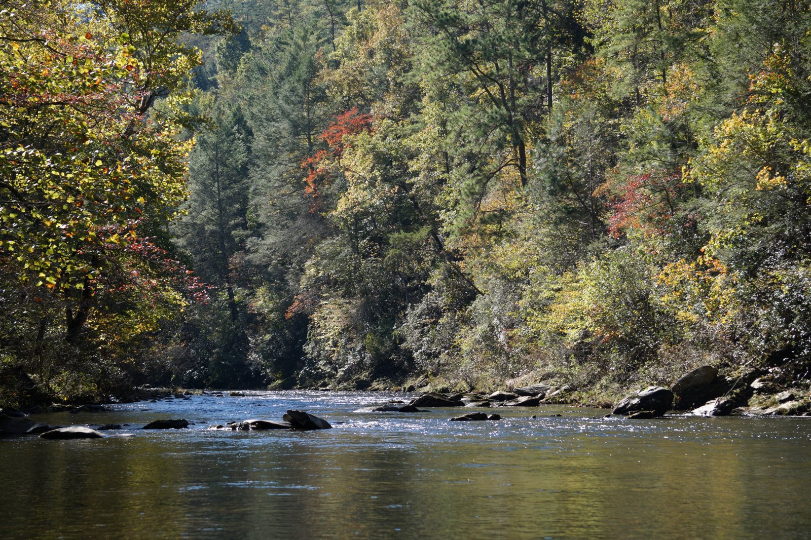
The Conasauga River Trail follows one of the cleanest rivers in Georgia through the western Cohutta Wilderness, crossing it 38 times on an old railroad grade lined with big hemlocks. Hiking the Appalachians and Beyond says no other trail in this part of the wilderness is as notable, and AllTrails reviewers describe stunning wilderness, beautiful river spots, ample campsites, and almost no one there. It runs about 13 miles from Betty Gap to Forest Service Road 17B.
Plan on wet feet the whole way, and don’t attempt it in high water.
The hike
The Forest Service says the 37,000-acre Cohutta Wilderness has 90 miles of hiking and backpacking trails, two of which follow the Jacks and Conasauga Rivers, and that no permits are required to hike or backpack there. Wikipedia, citing the Forest Service, calls those two rivers the most pristine in Georgia from a sedimentation standpoint.
Sherpa Guides describes the Conasauga River Trail as 13.1 miles, yellow-blazed, and moderately difficult, fording the river 38 times along the roadbed of an old railroad. It says large eastern hemlocks are a feature of the trail, and that even in low water you should plan on getting wet. Many experienced hikers, it says, wear old tennis shoes and bring dry shoes for camp. Celebrate Blue Ridge rates the trail easy to moderate going downstream from Betty Gap and moderate going upstream.
The trail starts at Betty Gap, at 3,040 feet. Celebrate Blue Ridge says the first 0.2 mile descends very sharply, and that the gap is named for a widow named Betty who sold meals and lodging to travelers. It puts the Chestnut Lead Trail junction at mile 1.9. Hiking the Appalachians and Beyond says that over the next 3.1 miles before the Panther Creek Trail junction, the trail makes 16 more fords as the river gradually widens, then passes through a large area of camping flats.
Farther downstream, Hiking the Appalachians and Beyond describes a small waterfall at Ford #20 and the Thomas Creek confluence at about 7.7 miles. The trail leaves the river at Ford #38, around mile 11.85, and finishes with a 400-foot climb out of the valley to FS 17B at 13.1 miles, which it warns may not feel pleasant after 12 miles. Celebrate Blue Ridge puts the trail’s departure from the river at about 1,260 feet.
The land has a logging past. Sherpa Guides says the Conasauga River Lumber Company once sawed 80,000 board feet a day here, and that the Forest Service acquired much of the area from it in 1934 and 1935. Celebrate Blue Ridge says the Cohutta Wilderness was designated on January 3, 1975. For a shorter trip, Hiking the Appalachians and Beyond suggests an out-and-back to the small waterfall at Ford #20, about 12.6 miles round trip from FS 17B or 13.6 from Betty Gap.
Reviewers’ conditions vary. An AllTrails reviewer in spring 2026 found several blowdowns, especially in the first 1.5 miles. Another hiked about 4 miles in, cutting through thorns and blowdowns, before losing the trail. Others describe the trail as relatively easy apart from the crossings.
Access is seasonal. The Forest Service says the Betty Gap trailhead and several others are open early March through December 31, because of winter road closures.
For the Cohutta’s other big river trail, see the Jacks River Trail.
Tips
- Wear shoes you can wade in. There are 38 fords, and Sherpa Guides says you’ll get wet even in low water.
- Bring dry shoes for camp. Sherpa Guides recommends it.
- Stay out in high water. The crossings can be challenging.
- Carry a map. Recent reviewers report blowdowns and hard-to-follow sections.
- Check road access. Betty Gap’s trailhead closes in winter.
Camping
The Forest Service says no permits are required to backpack in the Cohutta Wilderness. Sherpa Guides says camping is permitted anywhere except on trails and at trailheads, and that the trick is finding a flat spot. AllTrails reviewers describe ample campsites along the river.
Inside Intel: The camping flats past the Panther Creek junction are the obvious stop. Hiking the Appalachians and Beyond describes a large area of them there, and The Dyrt notes that the campsite at the Conasauga River Trail and Panther Creek intersection is especially desirable and first come, first served. One AllTrails reviewer camped about a mile in, at a beautiful site by the river before the first crossing.
Trail facts
- Distance: About 13.1 miles, Betty Gap to FS 17B
- Route type: Point to point, or out and back
- Difficulty: Moderate to strenuous; 38 fords
- Elevation: Betty Gap 3,040 feet; trail leaves the river near 1,260 feet (Celebrate Blue Ridge)
- Campsites: Dispersed; large camping flats near the Panther Creek junction
- Water: Conasauga River. Treat all water.
- Permits: None required (Forest Service)
- Trailheads: Betty Gap (FS 64); FS 17B (northwestern end)
- Season: Betty Gap trailhead open early March through December 31
- Last verified: October 2, 2026
Where this comes from
This page draws on the sources below, along with other guides and trip reports. Links go to the original pages.
- U.S. Forest Service: Cohutta Wilderness Trailheads
- Sherpa Guides: Hiking Trails of the Cohutta Wilderness
- Hiking the Appalachians and Beyond: Conasauga River Trail
- Celebrate Blue Ridge: Conasauga River Trail (PDF)
- AllTrails: Conasauga River Trail
- The Dyrt: Conasauga River Campground
- Wikipedia: Chattahoochee-Oconee National Forest
Before you go: This page is based on published trail guides, trip reports, and reviews, along with official park and agency information where we could find it. It’s meant to help backpackers discover new trails, not to replace current, official information. Conditions, closures, permits, campsites, and water sources change, and some details here may be out of date or wrong. Confirm everything with the managing agency and check current conditions before you head out, and don’t rely on this page alone for safety or navigation. Backcountry travel involves risk.