
Trails / Georgia / North Georgia Mountains
Benton MacKaye Trail: Springer Mountain to the Toccoa River Swinging Bridge
Chattahoochee National Forest (Springer Mountain to the Toccoa River, near Blue Ridge)
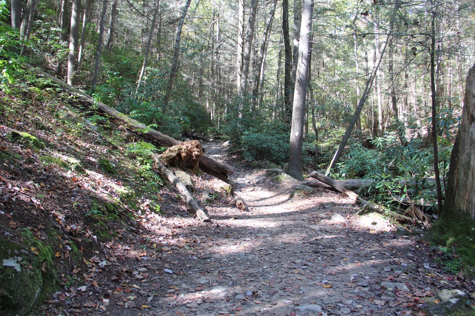
The Benton MacKaye Trail begins on Springer Mountain, sharing its southern end with the Appalachian Trail, then splits off to wander nearly 300 miles to the Great Smoky Mountains. Its first stretch in Georgia runs about 15 miles from Springer, past Long Creek Falls and over the long ridges of Big John Dick Mountain, to the Toccoa River and its 260-foot swinging bridge. Explore Georgia names the swinging bridge among the trail’s highlights.
The Benton MacKaye Trail Association calls it predominantly a tent, tarp, and hammock trail.
The hike
Wikipedia says the BMT runs nearly 300 miles from Springer Mountain to Big Creek in the Great Smoky Mountains, and that the Benton MacKaye Trail Association was organized in 1979 to build and maintain it. The BMTA gives the current official length as 287.6 miles, and Explore Georgia notes the trail is named for the father of the Appalachian Trail.
The BMTA lists landmarks northbound from Springer: Owen Vista at mile 1.4, Long Creek Falls at 7.0 via a 0.1-mile side trail, the Bald at 8.2, and the Toccoa River swinging bridge at 14.8. Sherpa Guides says the first section, from Springer to Three Forks, essentially follows the AT’s pre-1977 corridor.
Backpacker describes the next stretch. From Three Forks, where three forested creeks meet, the BMT winds alongside Long Creek and passes a detour to Long Creek Falls, a 30-foot cascade, before starting a ridgeline trek north. Roughly 2 miles in, at the first of several mini-summits, the trail enters a wildlife opening. Backpacker advises enjoying the views of Springer Mountain but not camping in that area.
The route then traverses the western slopes of Little John Dick Mountain and descends to the suspension bridge over the Toccoa River. Backpacker calls it a scenic spot with campsites and several ideal fishing spots, and names Bryson Gap and the Toccoa River crossing as the best campsites on its section. The BMTA describes the hike from Three Forks to the bridge as strenuous, passing Long Creek Falls and going over Big John Dick Mountain.
Wikipedia says the Duncan Ridge Trail starts at an intersection with the BMT and the AT at Long Creek and crosses the Toccoa River on the same 260-foot swinging bridge. Sherpa Guides notes this BMT section is contiguous with the Duncan Ridge Trail and highlights the dramatic Forest Service suspension bridge.
The BMT’s character differs from the AT’s. The BMTA says it’s predominantly a tent, tarp, and hammock trail, passing only a couple of AT shelters much farther north. Sherpa Guides says the Georgia BMT covers about 90 miles to US 64 in Tennessee and includes a 26-mile stretch with only two road crossings.
Sherpa Guides lists Long Creek Falls and Fall Branch Falls as the Georgia BMT’s two waterfalls and describes terrain ranging from laurel- and rhododendron-covered creekside walks to ridgetop paths and thick forest. It adds that Rhodes Mountain, farther along, offers a 360-degree winter view. Wikipedia lists the Toccoa River swinging bridge among the trail’s notable river crossings, along with Shallowford Bridge farther north.
Fannin County’s guide notes that a short hike leads down to the Toccoa River and swinging bridge from a parking area, which makes the bridge a popular day-hike destination too.
For the AT stretch that shares this start, see Amicalola Falls to Woody Gap.
Tips
- Don’t camp near the Springer views. Backpacker asks hikers not to camp in that area.
- Aim for Bryson Gap or the Toccoa River. Backpacker calls them the best campsites.
- Bring your own shelter. The BMT has no shelters on this stretch.
- Visit Long Creek Falls. It’s a short side trail.
- Expect day hikers at the bridge. It’s a popular short hike.
Camping
The BMTA says the Benton MacKaye Trail is predominantly a tent, tarp, and hammock trail. Backpacker names Bryson Gap and the Toccoa River crossing as the best campsites on this stretch and asks hikers not to camp near the Springer Mountain views. The Georgia Appalachian Trail Club says dispersed camping is permitted in the Chattahoochee-Oconee National Forest; confirm current rules with the Forest Service.
Inside Intel: The Toccoa River is the camp to aim for. Backpacker describes campsites and scenic river views around the swinging bridge, plus several good fishing spots. If you want a shorter first day, Bryson Gap is the other site Backpacker recommends.
Trail facts
- Distance: About 14.8 miles, Springer Mountain to the Toccoa River swinging bridge (BMTA)
- Route type: Point to point
- Difficulty: Strenuous; climbs over Big John Dick Mountain
- Campsites: Dispersed; Bryson Gap and the Toccoa River crossing are recommended
- Water: Creeks and the Toccoa River. Treat all water.
- Permits: None found
- Highlights: Long Creek Falls, the Bald, the 260-foot swinging bridge
- Trailheads: Springer Mountain (via FS 42); Three Forks; Toccoa River swinging bridge parking area
- Last verified: October 2, 2026
Where this comes from
This page draws on the sources below, along with other guides and trip reports. Links go to the original pages.
- Benton MacKaye Trail Association: Discover the Trail
- Benton MacKaye Trail Association: Three Forks to Toccoa River Bridge
- Backpacker: Benton MacKaye Trail, Three Forks to GA 60
- Wikipedia: Benton MacKaye Trail
- Wikipedia: Duncan Ridge Trail
- Fannin County: AT and BMT hiking guide (PDF)
- Sherpa Guides: The Benton MacKaye Trail
- Explore Georgia: Georgia’s Longest Hiking Trails
Before you go: This page is based on published trail guides, trip reports, and reviews, along with official park and agency information where we could find it. It’s meant to help backpackers discover new trails, not to replace current, official information. Conditions, closures, permits, campsites, and water sources change, and some details here may be out of date or wrong. Confirm everything with the managing agency and check current conditions before you head out, and don’t rely on this page alone for safety or navigation. Backcountry travel involves risk.