
Trails / Georgia / North Georgia Mountains
Appalachian Trail: Unicoi Gap to Bly Gap (Tray Mountain to the North Carolina Line)
Chattahoochee National Forest (GA 75 to the Georgia-North Carolina line)
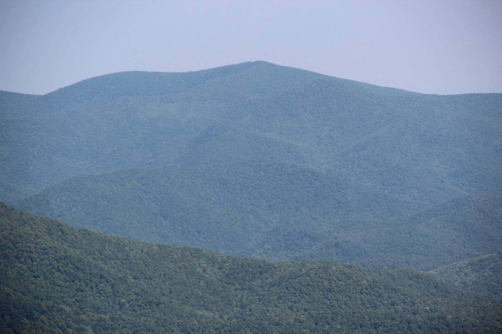
The last stretch of the Georgia Appalachian Trail runs about 27 miles from Unicoi Gap to Bly Gap, just past the North Carolina line. The highlight is Tray Mountain, at 4,398 feet, which the Georgia Appalachian Trail Club says has outstanding views from the summit. The route then descends through Addis Gap and Deep Gap to Dicks Creek Gap, then climbs to Bly Gap, which the GATC says is marked by a gnarled oak tree, with fine views to the north.
Bly Gap has no road, so you’ll need a plan to get out.
The hike
The trail leaves Unicoi Gap, on Georgia Highway 75, at mile 50.9 on the Georgia AT map. The map shows Indian Grave Gap at mile 53.5, then the climb toward Tray Mountain.
The GATC describes Tray Gap, where the trail meets Tray Mountain Road (Forest Service Road 79), and then Tray Mountain itself, at 4,398 feet, with outstanding views from the summit. It warns that descending north from Tray Mountain, the trail is rough, rocky, and steep. The Tray Mountain Shelter, with a privy, sits west of the trail on a side trail, with a good spring downhill behind it.
North of Tray Mountain, the map shows Addis Gap at mile 62.1 and the Deep Gap Shelter at 64.0. The trail then descends to Dicks Creek Gap, on US 76, at mile 67.5 on the map. The GATC describes Dicks Creek Gap as a paved highway crossing with picnic tables and a seasonal stream.
From Dicks Creek Gap, the trail climbs again toward the state line. The GATC lists the Plumorchard Gap Shelter, with a privy, east of the gap down a side trail, and a spring west of the trail near the shelter. The map shows Blue Ridge Gap at mile 73.3.
The section ends at Bly Gap. The GATC says it’s near the Georgia–North Carolina state line, marked by a gnarled oak tree, with fine views to the north. It notes a good campsite there, with water to the right below the clearing.
The GATC FAQ describes the Georgia AT as mostly hardwood forest, with the best views from a few exposed rock summits. It also mentions a grand vista near Powell Mountain, 66.7 miles north of Springer, reached by a blue-blazed side trail, which falls on this section. In its sample itinerary for northbound thru-hikers, the GATC spends a night at Blue Mountain Shelter before reaching Tray Mountain Shelter on day seven, about 8.1 miles later.
AllTrails says no permits are required for hiking the Georgia AT, that overnight stays are at designated shelters and campsites, and that bear canisters are strongly recommended. It calls the trail popular but says you can still find solitude at quieter times.
AllTrails puts the whole Georgia AT at about 78.1 miles with more than 18,000 feet of total climbing, and notes that dogs are allowed on a leash. On the Georgia AT map’s scale, the Plumorchard Gap Shelter is at mile 72.0, just over a mile before Blue Ridge Gap.
Because Bly Gap has no road access, plan your exit before you start. Options include continuing north into North Carolina or turning around to Dicks Creek Gap or Blue Ridge Gap.
For the section to the south, see Woody Gap to Unicoi Gap.
Tips
- Take your time descending Tray Mountain. The GATC says the north side is rough, rocky, and steep.
- Plan your exit from Bly Gap. There’s no road there.
- Fill water at the Tray Mountain spring. The GATC says it’s downhill behind the shelter.
- Carry a bear canister. AllTrails strongly recommends one.
- Look for the gnarled oak. It marks Bly Gap at the state line.
Camping
Camping on this section is at shelters and campsites, including the Tray Mountain, Deep Gap, and Plumorchard Gap shelters and the campsite at Bly Gap. The GATC says dispersed camping is allowed in the national forest but urges hikers to camp at designated sites or previously used spots. AllTrails strongly recommends bear canisters.
Inside Intel: Bly Gap makes a fitting last camp in Georgia. The GATC describes it as a good campsite, with water just below the clearing and fine views north from its gnarled oak. The Tray Mountain Shelter is another good stop, with a privy and a good spring behind it, though the GATC warns the trail north of the summit is rough.
Trail facts
- Distance: About 27 miles, Unicoi Gap to Bly Gap
- Route type: Point to point (no road at Bly Gap)
- Difficulty: Strenuous
- Elevation: Tray Mountain 4,398 feet (GATC)
- Campsites: Tray Mountain, Deep Gap, and Plumorchard Gap shelters; Bly Gap campsite
- Water: Springs at shelters and Bly Gap. Treat all water.
- Permits: None for the AT
- Food storage: Bear canister strongly recommended
- Trailheads: Unicoi Gap (GA 75); Dicks Creek Gap (US 76); Blue Ridge Gap
- Last verified: October 2, 2026
Where this comes from
This page draws on the sources below, along with other guides and trip reports. Links go to the original pages.
- Georgia Appalachian Trail Club: Trail Guide
- Georgia Appalachian Trail Club: Frequently Asked Questions
- Appalachian Trail in Georgia map and profile (PDF)
- AllTrails: Appalachian Trail, Georgia
Before you go: This page is based on published trail guides, trip reports, and reviews, along with official park and agency information where we could find it. It’s meant to help backpackers discover new trails, not to replace current, official information. Conditions, closures, permits, campsites, and water sources change, and some details here may be out of date or wrong. Confirm everything with the managing agency and check current conditions before you head out, and don’t rely on this page alone for safety or navigation. Backcountry travel involves risk.