
Trails / Alabama / Cheaha and Talladega
Dugger Mountain via the Pinhoti Trail
Dugger Mountain Wilderness, Talladega National Forest, Shoal Creek Ranger District (near Piedmont)
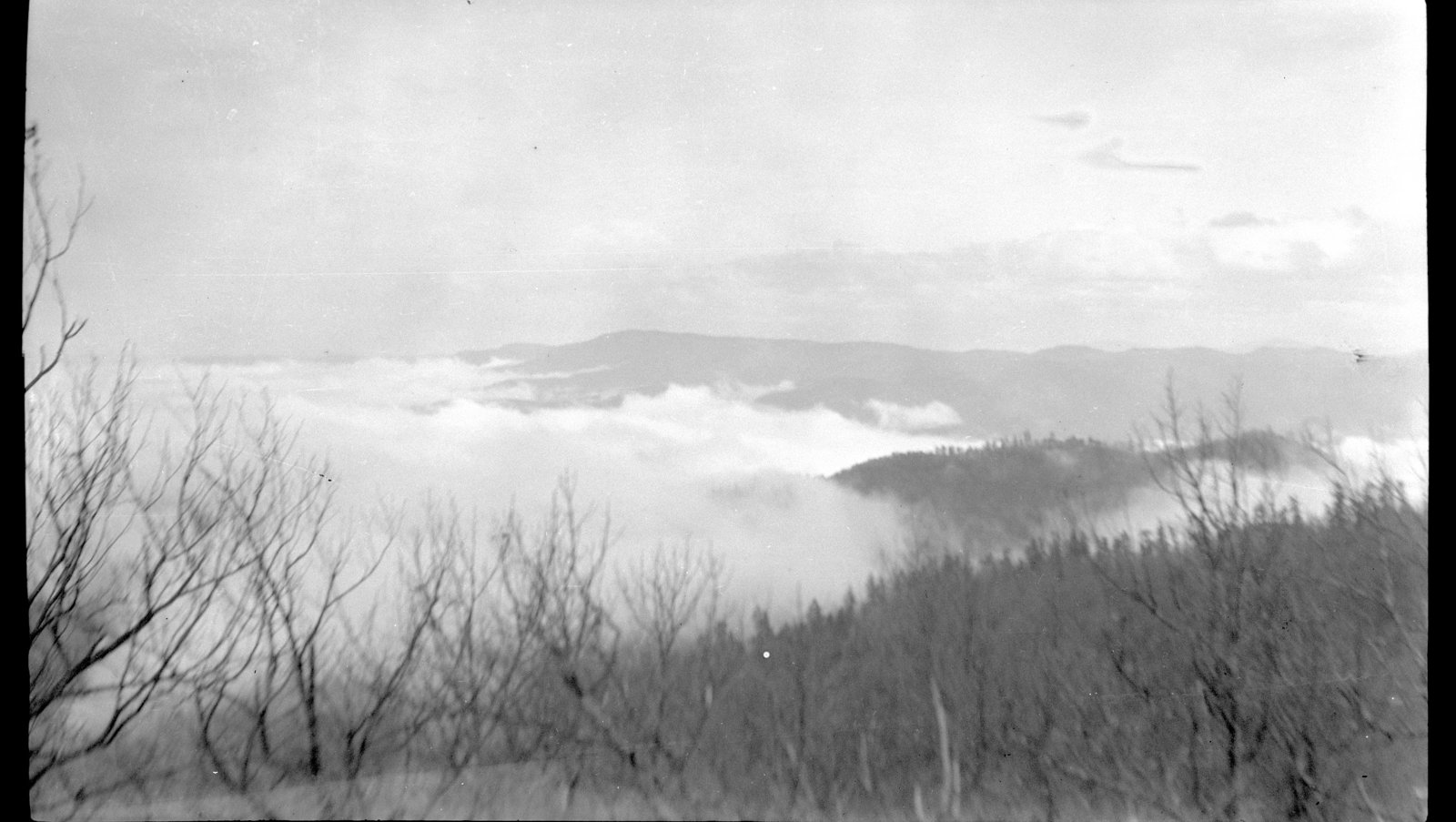
Dugger Mountain rises to 2,140 feet, which Wikipedia calls the second-highest peak in Alabama, and the Pinhoti Trail climbs over its shoulder through the Dugger Mountain Wilderness. The section between the Burns Trailhead and Forest Road 500 is about 8.5 miles of steady climbing, ridge walking, and a long descent.
AllTrails says you’re unlikely to meet many other people on this stretch.
The hike
The Forest Service says the Dugger Mountain Wilderness in the Talladega National Forest’s Shoal Creek District is one of three wildernesses in Alabama’s national forests. Wikipedia says it covers 9,200 acres in Calhoun and Cleburne Counties. The Armchair Explorer describes the area as so rugged that some of the forest is virgin growth, left because the hills were too steep to log, and says the wilderness protects numerous threatened and endangered plant communities.
The trip starts at the Burns Trailhead near Rabbittown Road. The Armchair Explorer describes the historic “Pinky Burns” cabin there, which it says is listed on the National Register of Historic Places. Hiking Project says that shortly after leaving Rabbittown Road, the trail crosses into the wilderness. Around 0.1 mile in, a spur on the right leads to the remains of an abandoned mine.
From there the trail climbs to the south end of the Dugger Mountain ridge. One AllTrails reviewer calls the climb not horrible but non-stop, and says the trail got more overgrown around the 2.5-mile mark. Another warns of poison ivy everywhere and suggests long pants.
Hiking Project says the trail passes near the summit of Dugger Mountain at about 6.5 miles. It mentions a plane wreck near the mountain, noting that of three crew members only one survived and walked out to Piedmont. An AllTrails reviewer who left the trail to see the fire tower, a spring water pipe, and the plane wreck logged about 7.8 miles out and back. Hiking Project also mentions an unmarked trail looping around the northern part of the mountain that’s hard to find.
After the summit area, the trail descends to Forest Road 500. Hiking Project says there are multiple water sources along this stretch, and recommends filling up because there aren’t many on the way to the North Dugger Mountain Shelter farther north.
The Armchair Explorer says the Pinhoti is essentially the only official trail in the wilderness, with some old roads offering access and short loops. It says many people reach the wilderness from Forest Road 500 on its eastern edge, where the old Tower Road climbs to the summit in about 2.8 miles. US Parks Online says the area usually has several decent water sources that tend to dry up in dry years, and that the old Jones Branch Road route has better water than the ridgetop Pinhoti. Backpacker describes a loop mixing the Pinhoti and old roads, passing a carved rock face it calls the site of a centuries-old Native American dwelling.
AllTrails lists January as the best month, and one reviewer warns against hiking it in July. For a fuller Pinhoti experience farther south, see McDill Point.
Tips
- Hike it in the cool months. AllTrails lists January as the best time. Summer brings heat and poison ivy.
- Wear long pants. Reviewers report poison ivy and some overgrowth.
- Fill up on the descent. Hiking Project says water is limited north of Forest Road 500.
- Check recent water reports. Sources can be seasonal. One February 2026 reviewer found water between miles 3 and 4 northbound from the Burns Trailhead.
- Plan a shuttle or turn around. Section 11 is point to point. Out and back to the summit area is an alternative.
Camping
Camping is dispersed in the wilderness. AllTrails says no permits or reservations are needed and that overnight stays usually use established primitive campsites. It recommends bear-resistant food storage and treating all water. Hiking Project mentions the North Dugger Mountain Shelter north of Forest Road 500. Confirm current rules with the Shoal Creek Ranger District (256-463-2272).
Inside Intel: Water decides where to camp here. The ridge is dry, and AllTrails says the springs and small streams can be seasonal. Hiking Project’s advice is to fill up on the descent toward Forest Road 500, since there aren’t many sources on the way to the North Dugger Mountain Shelter. One AllTrails reviewer also pointed out water crossings at the start and end of the out-and-back route.
Trail facts
- Distance: About 8.5 miles point to point (Pinhoti Section 11)
- Route type: Point to point, or out and back
- Difficulty: Moderate to strenuous. AllTrails lists about 1,410 feet of gain for the section.
- Elevation: Dugger Mountain 2,140 feet (Wikipedia)
- Campsites: Dispersed established sites; North Dugger Mountain Shelter beyond FR 500
- Water: Seasonal springs and streams. Ridge is dry. Treat all water.
- Permits: None reported. Confirm with the Shoal Creek Ranger District.
- Food storage: Bear-resistant storage recommended (AllTrails)
- Trailhead: Burns Trailhead on Rabbittown Road near Piedmont; north end at Forest Road 500
- Last verified: September 28, 2026
Where this comes from
This page draws on the sources below, along with other guides and trip reports. Links go to the original pages.
- U.S. Forest Service: National Forests in Alabama wilderness
- Wikipedia: Dugger Mountain Wilderness
- Hiking Project: Pinhoti Trail Section 11
- The Armchair Explorer: Dugger Mountain Wilderness
- US Parks Online: Dugger Mountain Wilderness Area
- AllTrails: Pinhoti Trail Section 11
- Backpacker: Dugger Mountain Wilderness
Before you go: This page is based on published trail guides, trip reports, and reviews, along with official park and agency information where we could find it. It’s meant to help backpackers discover new trails, not to replace current, official information. Conditions, closures, permits, campsites, and water sources change, and some details here may be out of date or wrong. Confirm everything with the managing agency and check current conditions before you head out, and don’t rely on this page alone for safety or navigation. Backcountry travel involves risk.