
Trails / Tennessee / Cumberland Plateau
Obed Wild and Scenic River: Cumberland Trail to Devils Breakfast Table
Obed Wild and Scenic River, Cumberland Plateau (Morgan and Cumberland counties)
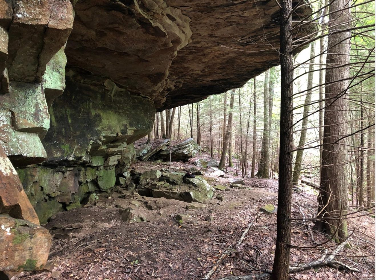
The Obed is the only designated wild and scenic river in Tennessee, according to one guide, and it drains much of the Cumberland Plateau, making it one of the last free-flowing river systems in the eastern United States. The National Park Service says its gorges have bluffs as high as 500 feet above the whitewater. A stretch of the Cumberland Trail runs through it, and you can turn this very strenuous hike into an overnight with a free permit.
The hike
The section starts at Rock Creek Campground, near the Emory River, and runs 14.2 miles one way to the Devils Breakfast Table trailhead. NPS rates it very strenuous, with many ascents and descents along the Obed River, and says it leads to remote overlooks that offer solitude and sweeping views of the gorge. One guide describes the trail as a strenuous out-and-back that crosses parts of the Catoosa Wildlife Management Area on its way to the Devils Breakfast Table. Because the section is 14.2 miles one way, a full out-and-back would be about 28 miles, so most people will want either a shuttle or a shorter turnaround.
The most popular shorter option is the hike from the campground to Alley Ford and back, about 5 miles round trip, which NPS rates moderate to strenuous. It’s a good way to sample the terrain before you commit to an overnight.
The destination is the Devils Breakfast Table, a rock formation NPS describes as a horizontal rock perched and balanced upon a vertical rock spire.
The park offers plenty more on foot if you want to build a longer trip around it. The Emory River Gorge section of the Cumberland Trail is a 2.6-mile round trip that NPS rates moderate. It starts above the Nemo Picnic Area, near the historic Nemo Bridge, climbs above the river to a sweeping overlook of the confluence of the Obed and Emory Rivers, and ends at a seasonal stream cascade. The Emory River Nature Trail is a 1.0-mile loop that shares a short part of the Cumberland Trail before returning to Rock Creek Campground along the river, and NPS points out evidence of how people once used the area’s resources, including a gated coal shaft.
In the Lilly Bluff area, the 3.8-mile round-trip Point Trail is rated moderate to strenuous. It dips to Melton Mill Branch, which NPS says can be a trickle in summer or a roar in winter and spring, passes a hidden natural arch, and follows the bluff to a secluded view over the river gorge. The Lilly Bluff Overlook Trail is 0.3 miles one way and easy, with a 200-foot-high view of the river, and the gravel trail and boardwalk can be used with a stroller or wheelchair. For another stretch of the same long trail, see our Cumberland Trail guide to the North Chickamauga Creek Gorge.
Tips
- Get your permit first. NPS requires a free backcountry permit for anyone camping overnight. You can pick one up at the Obed Visitor Center or fill it out online, and you must keep a copy with you.
- Carry a map and compass. NPS says some trails are marked but it’s easy to confuse a designated route with a wildlife trail, warns not to rely solely on GPS, and notes that cell phones don’t work in many areas of the park.
- Leave your itinerary with someone. NPS recommends it in case you’re overdue.
- Watch for ticks, snakes, and poison ivy. NPS says ticks are common, copperheads and rattlesnakes are found on land, and poison ivy is plentiful along trails. Black bears live in the area but are rarely seen on the trail.
- Check hunting seasons. The trail crosses part of Catoosa Wildlife Management Area, so ask the park what to expect.
- Start with Alley Ford. If you’re unsure about the full section, NPS’s popular 5-mile round trip is a shorter test.
Camping
Anyone camping overnight in the backcountry needs a free permit, and NPS says there are no established backcountry campsites. Camping is limited to 14 consecutive days. NPS prohibits backcountry camping within 200 feet or in sight of any road, parking lot, or developed area, the Lilly Overlook Trail, the Lilly Overlook Platform, the Bridge Trail, the Lilly Boulderfield, or a site of cultural or archaeological significance. You must pack out all trash, including toilet paper, and bury human waste in a shallow hole 4 to 6 inches deep, at least 100 feet from any water source. Don’t wash dishes or use detergents in water sources.
Rock Creek Campground, at the start of the trail, has 11 campsites, each with a picnic table, a food storage locker, a fire ring with a grill, and a lantern hook, plus a vault toilet. NPS’s Places To Go page describes it as first-come, first-served, though Recreation.gov also has a listing, so check the current rules.
Inside Intel: One camping guide describes the Point Trail as ending at an exposed rocky cliff with plenty of camp spots with views, mostly to the right of the trail as you walk up. It warns that if you arrive after dark, the cliff drop-offs can sneak up on you. Check any spot against the park’s 200-foot setback rules before you settle in.
Trail facts
- Distance: 14.2 miles one way (Rock Creek Campground to the Devils Breakfast Table). Alley Ford and back is about 5 miles round trip.
- Route type: Point to point with a shuttle, or out and back
- Difficulty: Very strenuous (NPS)
- Campsites: No established backcountry campsites. Dispersed camping with a free permit, or Rock Creek Campground (11 sites).
- Water: Not described in the sources used. Plan to carry or filter.
- Permits: Free backcountry camping permit from the Obed Visitor Center or online. Keep a copy with you.
- Rules: Camping limited to 14 consecutive days; setbacks of 200 feet from roads, parking lots, developed areas, and certain trails; pack out all trash
- Trailhead: Rock Creek Campground, near the Emory River; the far end is the Devils Breakfast Table trailhead
- Contact: Obed Wild and Scenic River, 423-346-6294. For Cumberland Trail State Park, NPS lists 423-566-2229.
- Last verified: September 28, 2026
Where this comes from
This page draws on the sources below, along with other guides and trip reports. Links go to the original pages.
Before you go: This page is based on published trail guides, trip reports, and reviews, along with official park and agency information where we could find it. It’s meant to help backpackers discover new trails, not to replace current, official information. Conditions, closures, permits, campsites, and water sources change, and some details here may be out of date or wrong. Confirm everything with the managing agency and check current conditions before you head out, and don’t rely on this page alone for safety or navigation. Backcountry travel involves risk.