
Trails / Mississippi / Tombigbee National Forest
Noxubee Hills Trail (Outer Loop)
Tombigbee National Forest, Tombigbee Ranger District (near Ackerman)
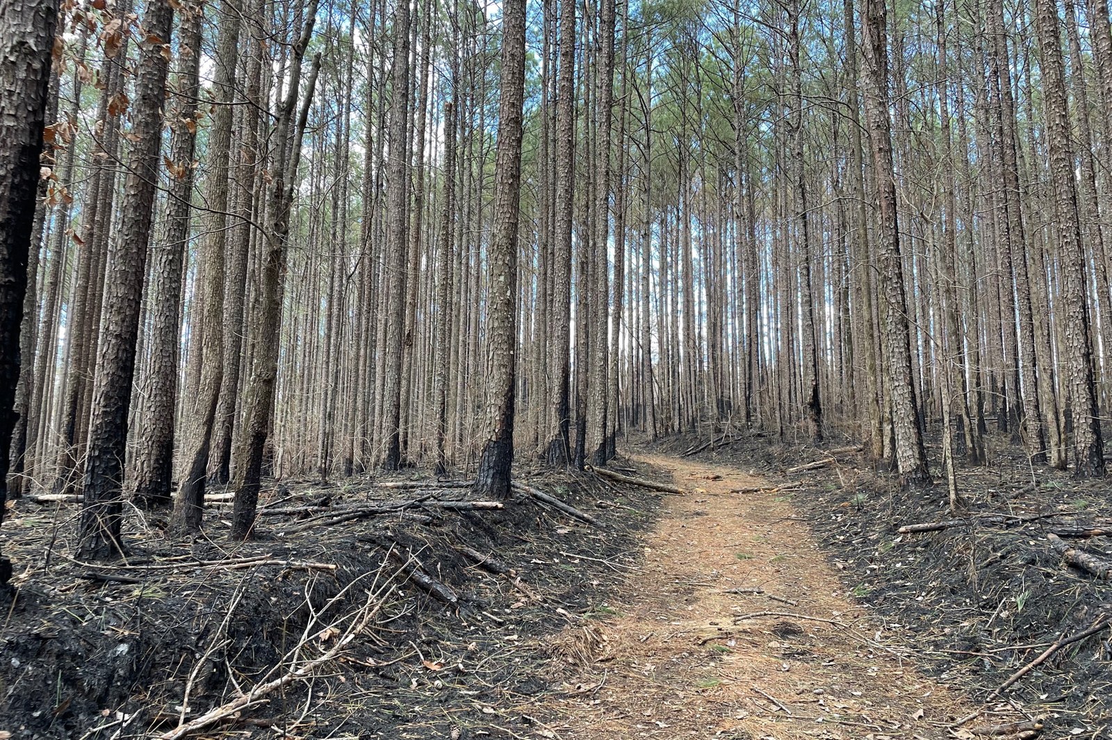
The Noxubee Hills trail system is a web of volunteer-built hiking and biking trails in the Tombigbee National Forest, just south of Ackerman. The forest lists 32 miles of single and double track in all. Its outer loop, about 23 to 24 miles depending on the source, starts at Choctaw Lake and makes a fine two-day backpacking trip through pine forest, creek bottoms and the banks of the Noxubee River.
It’s a long forest walk without much climbing, and a quiet one. One recent reviewer hiked 21 miles over a March Friday and Saturday without seeing another person.
The hike
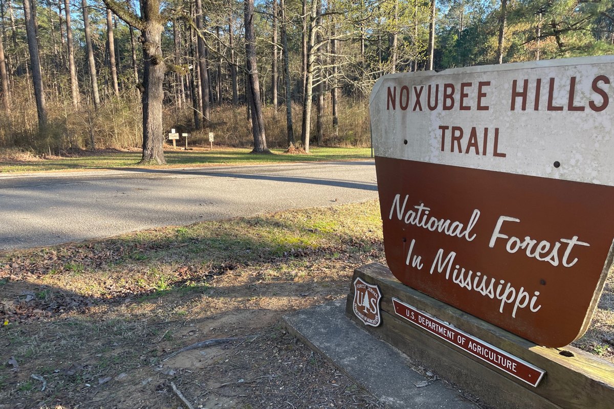
The outer loop starts and ends at the boat ramp on the campground side of Choctaw Lake, according to one trail-mapping site. It strings together the Lakeside, Splashing Dog, Rabbits Run, Sheep Ranch, CW (Charlotte’s Web), Long Bridge and North trails, among others, and skips the inner and connector trails. The same site counts about a dozen creek crossings, each with a bridge or a reinforced gravel bottom, and says the trails carry permanent tree markers. A 2022 check-in on the same site calls them “marked impeccably.”
Work on the trails began in 2000, and volunteers built and still maintain them, according to a 2018 student newspaper article, which counts at least two dozen bridges and many boardwalks around the lake. The article says the trails are meant to be multipurpose, though they’re laid out better for mountain bikers. Expect tight switchbacks, short climbs and stretches of old Forest Service road, as the forest describes, and share the path with riders.
The Splashing Dog Trail runs along the Noxubee River, where one rider photographed a beaver dam. Rabbits Run, a flat 0.7-mile trail, passes through a young pine plantation, crosses a sunken road that one hiking guide calls “very old,” and ends at the Lost Cemetery by a steel bridge over the river. The guide says a walk south along the old road leads to an old house site and the remains of an earlier bridge.
One recent reviewer describes trails that weave through towering stands of pine, but notes that a pine beetle epidemic has hit several parts of the area hard. A 2017 state forestry report counted more than 3,500 southern pine beetle spots across four Mississippi national forests, the Tombigbee among them. Parts of the system also run around boggy swamps, which the same reviewer calls beautiful and says get very muddy after a big rain.
Choctaw Lake, where the loop begins and ends, makes a pleasant last mile. The forest lists a 3-mile hiking trail at the recreation area, and one biking site says trailhead parking is on the north side of the lake, past the dam. After two days in the pines, the open water is a welcome sight.
For a shorter trip, the 13-mile north route runs from a south trailhead on Sheep Ranch Road to Choctaw Lake by way of Charlotte’s Web, Long Bridge, North, Lost Cemetery and Beaver Lodge trails, according to one route site. A second trailhead sits beside Noxubee Hills Cemetery, about 7 miles from Louisville, per the trail-mapping site.
For Mississippi trips with more river and fewer bikes, see the Black Creek Trail and the Tuxachanie Trail, both in the De Soto National Forest.
Tips
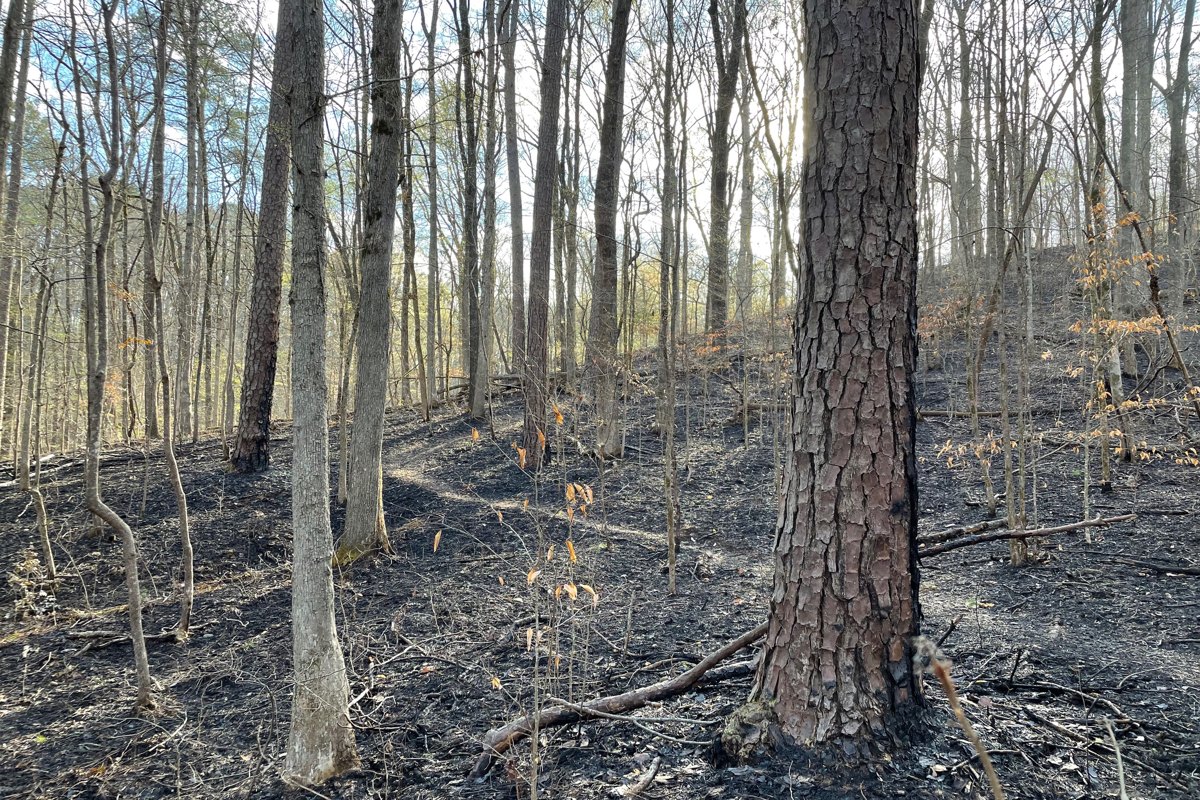
- Give bikes room. This is a shared hiking and biking system, and the turns are tight. Listen for riders, especially on descents.
- Wait out the rain. The low, swampy stretches get very muddy after a big storm, one recent reviewer reports. A dry spell makes for a much nicer trip.
- Pitch away from dead trees. Pine beetles have killed trees in parts of the area, so look up before choosing a campsite.
- Wear blaze orange in hunting season. The trail-mapping site says it’s required during hunting seasons, mainly deer and spring turkey, and the system sits in a multiuse national forest.
- Carry a map. With dozens of named trails and connectors, a map or GPS app keeps the outer loop from turning into an inner one. The forest publishes a Noxubee Hills Trail System map.
- Go cool and dry. For most people, fall through spring is the sweet spot in Mississippi’s woods.
Camping
The forest says it “welcomes dispersed camping in all forests” in Mississippi. Its rules: camp at least 100 feet from streams and other water, don’t leave a camp unattended for more than 24 hours, stay no more than 30 days (some areas and forest rules limit stays to 14 days in 30), and pack out all trash. No permit was found for dispersed camping. The forest also says that “during hunting seasons, camping may be restricted to designated hunter camps in specific Wildlife Management Areas,” so check with the Tombigbee Ranger District before a fall or winter trip. Reviewers on one biking site also report free primitive camping reached from the trails.
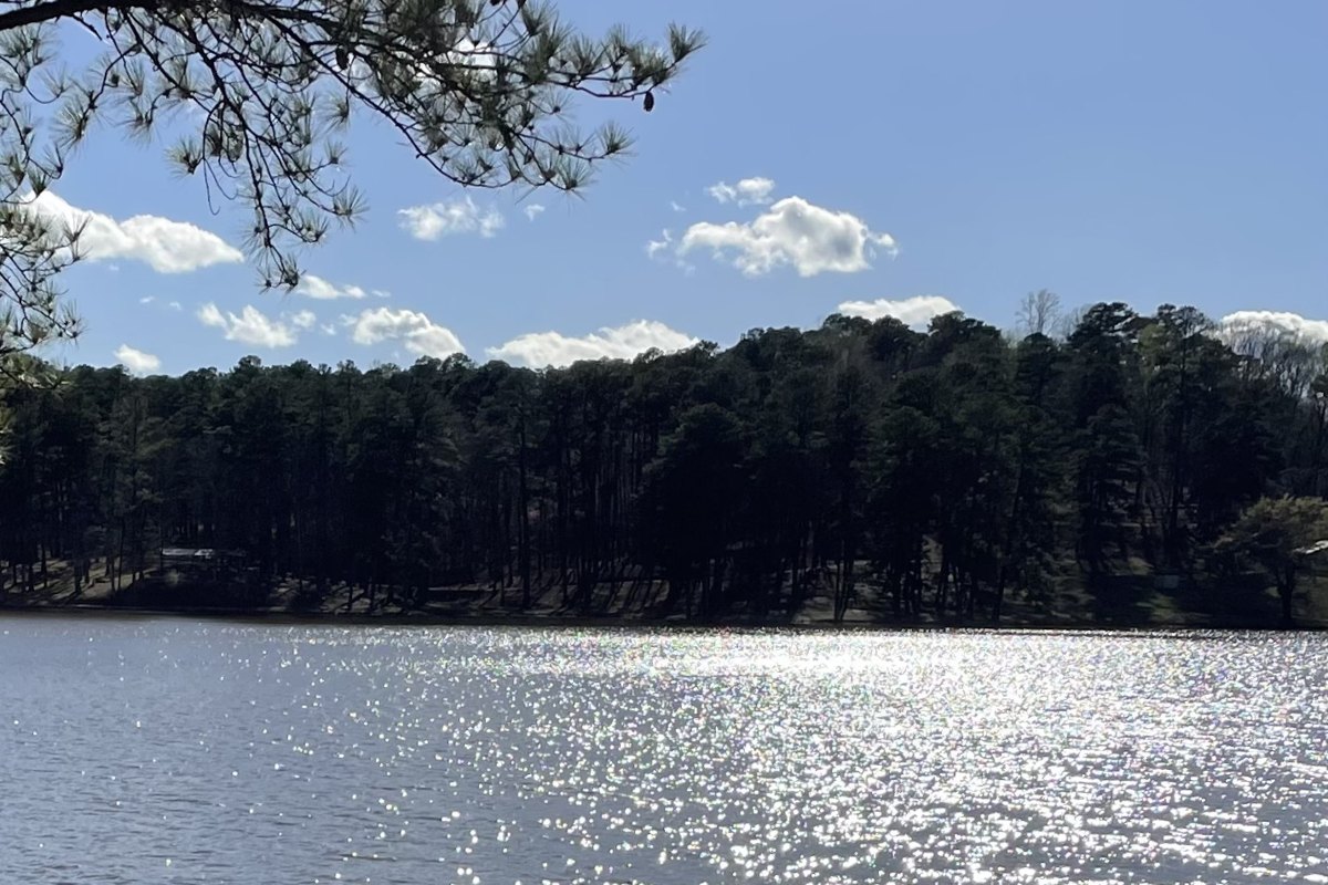
Choctaw Lake, at the start of the loop, has a Forest Service campground with 20 campsites with utility hookups and potable water, a handy base for the night before.
Inside Intel: One recent reviewer camped at a great spot on the bank of the Noxubee River, near the junction of the Rabbits Run and Lost Cemetery trails. Remember the forest’s 100-foot rule for camps near water.
Trail facts
- Distance: About 23 to 24 miles for the outer loop; 32 miles of trail in the whole system, per the forest
- Route type: Loop from Choctaw Lake; shorter loops and a 13-mile north route are possible
- Difficulty: Moderate; low and rolling, with short climbs and tight switchbacks
- Campsites: Dispersed, at least 100 feet from water; developed campground at Choctaw Lake
- Water: Potable water at Choctaw Lake; treat river and creek water
- Permits: None found for dispersed camping (check hunting-season limits)
- Trail use: Hiking and mountain biking; no horses or ATVs, per one trail-mapping site
- Trailheads: Choctaw Lake (MS 15 south of Ackerman); Sheep Ranch Road; Noxubee Hills Cemetery
- Contact: Tombigbee Ranger District, Ackerman, 662-285-3264
- Last verified: November 3, 2026
Have a great pic of this trail? Post it to Instagram and tag us, and we might use it on the site.
More Lowdown from Backpack Trail Guide
Where this comes from
This page draws on the sources below, along with other guides and trip reports. Links go to the original pages.
- U.S. Forest Service: Tombigbee National Forest recreation
- U.S. Forest Service: Choctaw Lake Recreation Area
- U.S. Forest Service: National Forests in Mississippi Camping & Cabins
- U.S. Forest Service: National Forests in Mississippi Hiking
- U.S. Forest Service: Tombigbee Ranger District office
- U.S. Forest Service: Noxubee Hills Trail System map
- Mississippi Department of Wildlife, Fisheries, and Parks: Choctaw and John Starr WMA rules
- Mississippi Forestry Commission: southern pine beetle survey (2017)
- MTB Project: Noxubee Hills Outer Loop
- Hiking Project: Rabbits Run Trail
- Fastest Known Time: Noxubee Hills North Route
- Singletracks: Noxubee Crest
- The Reflector: Noxubee Hills trail system (2018)
Before you go: This page is based on published trail guides, trip reports, and reviews, along with official park and agency information where we could find it. It’s meant to help backpackers discover new trails, not to replace current, official information. Conditions, closures, permits, campsites, and water sources change, and some details here may be out of date or wrong. Confirm everything with the managing agency and check current conditions before you head out, and don’t rely on this page alone for safety or navigation. Backcountry travel involves risk.