
Trails / Colorado / San Juan Mountains
Colorado Trail Segment 25 (Molas Pass to Bolam Pass Road)
San Juan National Forest (Molas Pass, south of Silverton)
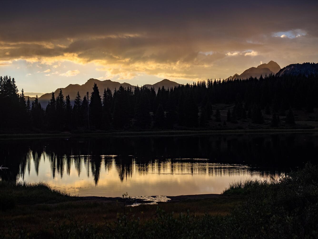
Segment 25 of the Colorado Trail runs about 20 miles from Molas Pass, south of Silverton, to Bolam Pass Road, almost entirely near or above treeline. One AllTrails reviewer calls it a beautiful section that stays high the whole way, and the first miles contour along the top of the Lime Creek watershed with big San Juan views. San Juan Mountain Guides, which guides the final segments of the trail, describes two wonderful high-mountain campsites on its trip through this stretch.
The exposure is the challenge. Water is limited, and afternoon storms can be dangerous up high.
The hike
AllTrails says day hikers can park at the Molas Pass Overlook, which has restrooms, and that Little Molas Lake Campground, a paid campground about 0.7 mile from the start, is an option for the night before. One reviewer recommends driving to the Little Molas parking lot to skip the first few miles. Another notes that the segment officially begins at Highway 550 rather than at the Molas Lake or Little Molas Lake campgrounds.
The Forest Service says Molas Pass is about 5 miles south of Silverton on U.S. 550, and 46 miles north of Durango. Dog Friendly SoCal puts the Molas Pass summit parking lot at 10,912 feet.
From Little Molas Lake, an AllTrails reviewer describes a pleasant 1.5-mile climb to the ridgeline, followed by several miles of contouring across the top of the Lime Creek watershed. A popular day hike, the same reviewer says, covers the first 4 to 5 miles to the saddle between North Lime Creek and Bear Creek. Another reviewer found a few snowfields lingering near the segment’s high pass.
AllTrails suggests good dispersed camping between miles 5 and 8, between miles 12.5 and 17, and around mile 20. It says this section has seasonal creeks, a reliable alpine lake around mile 10, and another lake at the end, and warns that any source can dry up. It recommends topping off every time you refill.
Bears and lightning are the two big cautions. AllTrails says many parts of the trail don’t allow for food hangs and black bears can be common. It also advises hikers in July and early August to be off the high points by noon because of afternoon thunderstorms.
Heading the other way from Molas Pass, the Forest Service says the Molas Trail, part of Segment 24, drops about 3.7 miles east to the Animas River, the only water on that stretch. The Virtual Sherpa calls the Beaver Ponds around mile 11.6 of Segment 24 its favorite campsite and cautions against drinking from the Animas River because of a mining accident years ago.
The trail has a long history. San Juan Mountain Guides says the Colorado Trail was completed in 1987 and spans almost 500 miles from Denver to Durango. The Colorado Trail Foundation notes the trail’s highest point, 13,271 feet, is just below Coney Summit in Segment 22, a few segments north of this one.
AllTrails reviewers who did shorter out-and-back hikes found the climb gradual and the views worth it. Dog Friendly SoCal hiked about 7 miles round trip from Molas Pass with about 1,000 feet of gain.
For the very beginning of the Colorado Trail, see Colorado Trail Segment 1.
Tips
- Be off the high points by noon in summer. AllTrails warns of afternoon thunderstorms.
- Carry a bear-resistant container. AllTrails says food hangs aren’t possible in many places.
- Top off at every water source. Creeks can be seasonal; the lake around mile 10 is the reliable one.
- Start at Little Molas Lake to save miles. A reviewer recommends it.
- Plan a shuttle. The segment ends at Bolam Pass Road.
Camping
Camping is dispersed along the Colorado Trail in the San Juan National Forest. AllTrails suggests good spots between miles 5 and 8, between miles 12.5 and 17, and around mile 20. Little Molas Lake Campground, near the start, is a paid campground. The Colorado Trail Foundation asks hikers to avoid camping on private land. Check current fire restrictions with the San Juan National Forest.
Inside Intel: San Juan Mountain Guides, which runs guided trips on this part of the trail, describes two wonderful high-mountain campsites on its route from Molas Pass. AllTrails’ suggested camping stretches line up with the water: the reliable lake around mile 10 sits between the first two camping zones, making it a natural place to fill up before a second night.
Trail facts
- Distance: About 20.4 miles one way (AllTrails)
- Route type: Point to point, or out and back from Molas Pass
- Difficulty: Strenuous. About 3,631 feet of gain; mostly near or above treeline.
- Elevation: Molas Pass summit parking about 10,912 feet
- Campsites: Dispersed; Little Molas Lake Campground near the start
- Water: Seasonal creeks; a reliable lake around mile 10. Treat all water.
- Permits: None found
- Hazards: Afternoon thunderstorms; black bears
- Trailheads: Molas Pass / Little Molas Lake on U.S. 550; Bolam Pass Road
- Last verified: October 2, 2026
Where this comes from
This page draws on the sources below, along with other guides and trip reports. Links go to the original pages.
- AllTrails: Colorado Trail Segment 25
- AllTrails: Colorado Trail Segment 25 (reviews)
- U.S. Forest Service: Colorado Trail - Molas Trail
- Colorado Trail Foundation: Trail FAQ
- San Juan Mountain Guides: Colorado Trail backpacking
- Dog Friendly SoCal: Colorado Trail Segment 25
- The Virtual Sherpa: Colorado Trail Segment 24
Before you go: This page is based on published trail guides, trip reports, and reviews, along with official park and agency information where we could find it. It’s meant to help backpackers discover new trails, not to replace current, official information. Conditions, closures, permits, campsites, and water sources change, and some details here may be out of date or wrong. Confirm everything with the managing agency and check current conditions before you head out, and don’t rely on this page alone for safety or navigation. Backcountry travel involves risk.