
Trails / Colorado / Front Range
Colorado Trail Segment 1 (Waterton Canyon to the South Platte River)
Waterton Canyon and Pike National Forest (Littleton, near Denver)
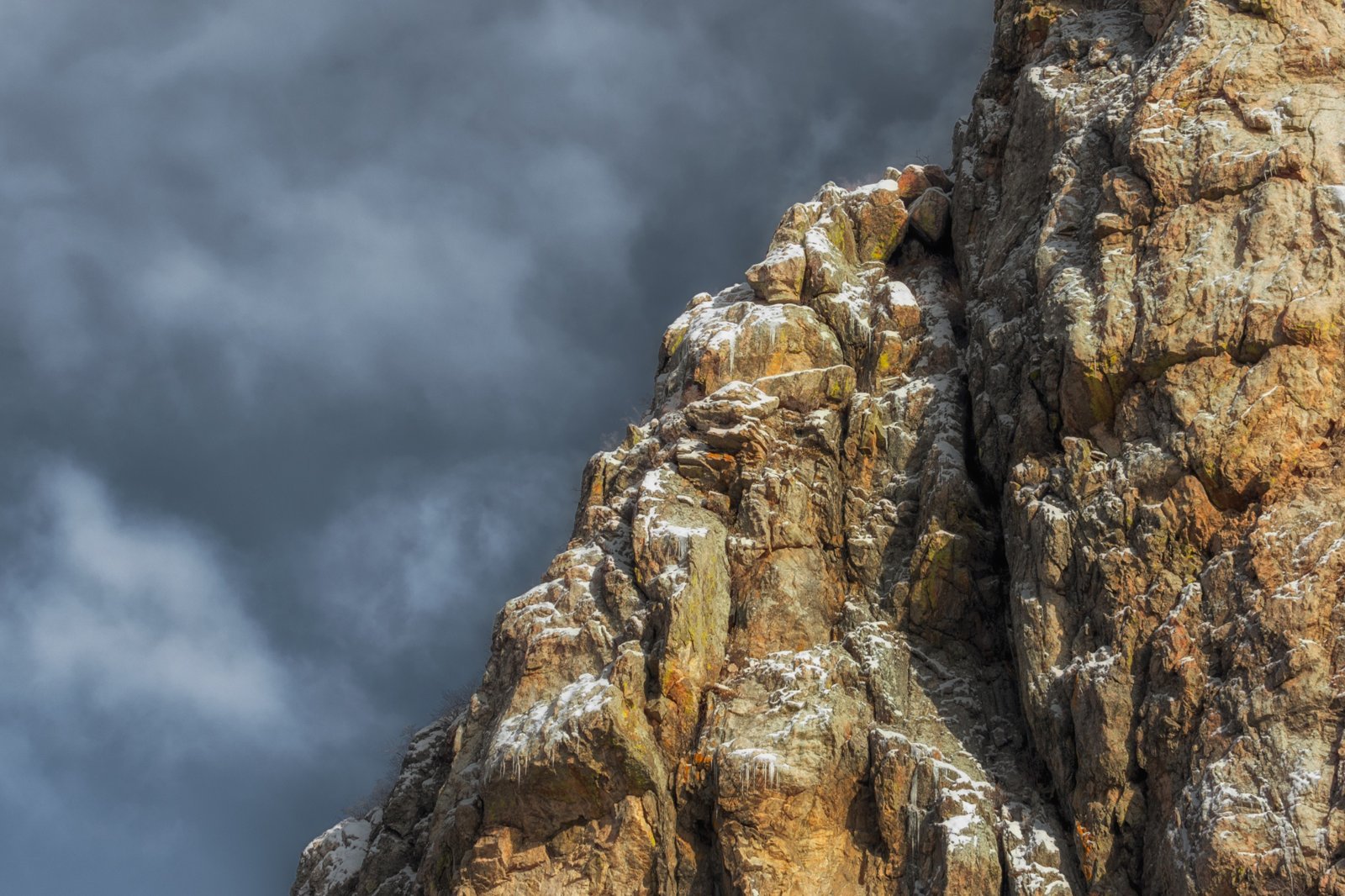
Segment 1 is the start of the Colorado Trail, which Komoot describes as a 500-mile trail. It begins at Waterton Canyon near Littleton, where the Colorado Trail Explorer site describes a wide, flat service road through a rich wildlife corridor, with bighorn sheep, mule deer, and more than 40 species of birds. Past Strontia Springs Dam, it becomes singletrack climbing into the Pike National Forest and down to the South Platte River.
Outdoor Project notes it’s only about 30 minutes from downtown Denver, and The Virtual Sherpa says it’s popular with people looking to backpack near the city. The first miles come with strict rules.
The hike
The Colorado Trail Foundation says the trail’s lowest point, 5,520 feet, is at the Denver end in Waterton Canyon. Visit Denver describes the first 6.5 miles following a broad, hard-packed dirt road beside the South Platte River through a dramatic rock canyon. Outdoor Project says only authorized vehicles use the road and that several rest areas along it have covered picnic tables.
Bighorn sheep are the canyon’s signature. Day Hikes Near Denver says the first mile or two, near an old water conduit pipe that juts over the trail, is the best place to spot bighorn sheep and golden eagles. The Colorado Trail Explorer site notes an accessible fishing pier 1.3 miles into the canyon.
The Colorado Trail Explorer site says the canyon road passes six picnic areas before its turnaround near the dam, and that the first section is wide and flat enough for road bikes and, by many accounts, wheelchairs. Komoot notes that the route overlaps with the American Discovery Trail and the High Line Canal Trail near its start. The Colorado Trail Foundation adds that hikers on the trail are likely to see marmots, squirrels, deer, elk, bighorn sheep, and many kinds of birds. The Virtual Sherpa, which hiked it in October 2019, enjoyed the shaded canyon views and the river along the first 7 miles.
Waterton Canyon has strict rules. The Colorado Trail Foundation says it’s one of the places along the trail where camping isn’t allowed, and that dogs are banned there to protect bighorn sheep habitat. AllTrails adds that grills and open flames are prohibited in the canyon to protect the watershed. Visit Denver notes a Colorado fishing license is required for anglers.
At the end of the road, the trail passes Strontia Springs Dam and becomes the Colorado Trail proper. Komoot says that beyond the Waterton Canyon section, the trail gets steeper and more technical. AllTrails says there are many options for dispersed camping after the dam, but no official campgrounds.
Day Hikes Near Denver suggests Lenny’s Rest as a goal if you plan to overnight, since camping is prohibited in the canyon below. AllTrails reviewers say water is available at Bear Creek, just past Lenny’s Rest, and then not again until the South Platte River at the end of the segment, about 16 miles from the trailhead.
The segment ends at the South Platte River Trailhead. The Colorado Trail Foundation suggests starting there or at the Indian Creek Trailhead as dog-friendly alternatives that skip Waterton Canyon.
The Virtual Sherpa calls Segment 1 one of the busiest sections of the whole trail, and AllTrails says you can still find solitude at quieter times of day.
For another long trail’s first miles, see the Ozark Highlands Trail from Lake Fort Smith in Arkansas.
Tips
- Don’t camp in Waterton Canyon. The Colorado Trail Foundation says camping isn’t allowed there.
- Leave dogs at home, or start elsewhere. Dogs are banned in Waterton Canyon; the South Platte River or Indian Creek trailheads are alternatives.
- Carry water past Bear Creek. Reviewers report no reliable water until the South Platte.
- Arrange a shuttle. The segment ends at the South Platte River Trailhead.
- Watch for bighorn sheep. The first miles of the canyon are the best spot.
Camping
Camping isn’t allowed in Waterton Canyon, and AllTrails says grills and open flames are prohibited there. After Strontia Springs Dam, dispersed camping is allowed in the Pike National Forest, but there are no official campgrounds on this segment. The Colorado Trail Foundation asks hikers to avoid camping on private land. Check current fire restrictions before your trip.
Inside Intel: Lenny’s Rest is the common first-night target. Day Hikes Near Denver recommends it as the goal for an overnight, and AllTrails reviewers point to Bear Creek, just past it, as the last reliable water before the South Platte. One reviewer on a May shakedown hike found nobody else camping on the segment.
Trail facts
- Distance: About 16.8 miles one way (Outdoor Project)
- Route type: Point to point with a shuttle, or out and back
- Difficulty: Moderate. About 2,830 feet of gain.
- Elevation: Starts at 5,520 feet in Waterton Canyon, the Colorado Trail’s lowest point
- Campsites: Dispersed after Strontia Springs Dam; none in Waterton Canyon
- Water: Bear Creek and the South Platte River. Treat all water.
- Permits: None found
- Dogs: Not allowed in Waterton Canyon
- Trailheads: Waterton Canyon (Littleton); South Platte River Trailhead
- Last verified: October 2, 2026
Where this comes from
This page draws on the sources below, along with other guides and trip reports. Links go to the original pages.
- Colorado Trail Foundation: Trail FAQ
- Colorado Trail Explorer: Waterton Canyon
- AllTrails: Colorado Trail Segment 1
- Outdoor Project: Colorado Trail Segment 1
- Visit Denver: Waterton Canyon
- Day Hikes Near Denver: Waterton Canyon
- The Virtual Sherpa: Colorado Trail Segment 1
- Komoot: Colorado Trail, Waterton Canyon
Before you go: This page is based on published trail guides, trip reports, and reviews, along with official park and agency information where we could find it. It’s meant to help backpackers discover new trails, not to replace current, official information. Conditions, closures, permits, campsites, and water sources change, and some details here may be out of date or wrong. Confirm everything with the managing agency and check current conditions before you head out, and don’t rely on this page alone for safety or navigation. Backcountry travel involves risk.