
Trails / Arkansas / Ouachita Mountains
Ouachita Trail: Queen Wilhelmina State Park to US 71
Ouachita National Forest and Queen Wilhelmina State Park (Rich Mountain, northwest of Mena)
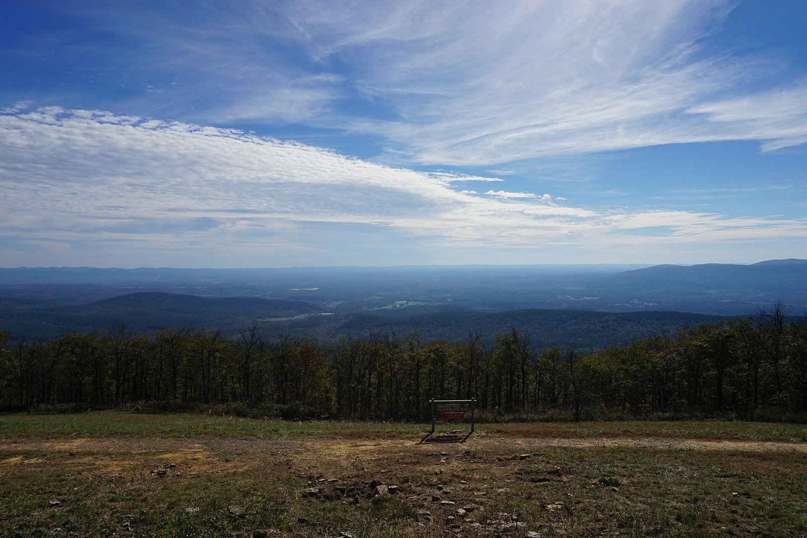
The Ouachita Trail runs about 223 miles from Talimena State Park in Oklahoma to Pinnacle Mountain State Park near Little Rock, and this section picks it up at Queen Wilhelmina State Park on Rich Mountain, the second-highest peak in Arkansas. From the park’s lodge, the trail heads east along the mountain and drops off its north side through the Ouachita National Forest. Compulsive Hiker lists the stretch from the state park to US 71 at 16.5 miles.
One long-distance hiker calls the whole Ouachita Trail well marked and maintained from start to finish.
The hike
Queen Wilhelmina State Park sits atop Rich Mountain on the Talimena Scenic Byway. Arkansas Tourism says the byway climbs Rich Mountain, the state’s second-highest peak at 2,681 feet, passes through the park, and reaches the Oklahoma border 18 miles west of Mena. Greenbelly says the park’s lodge is known as the “Castle in the Clouds,” and puts the park at about mile 51.5 of the trail.
The state park’s trail brochure describes the Ouachita Trail entering Queen Wilhelmina at its west boundary and passing through the park. Past the Lover’s Leap overlook, it says, the trail splits left and heads east out of the park. The brochure lists a walk-in campsite on a short spur from the park’s Reservoir Trail. It says that heading east from the junction, in two miles you cross the state highway, and then the trail drops off the north side of Rich Mountain to State Highway 270.
That descent is the steepest part. ArkOkHiker describes the 2.6-mile segment between the Talimena Scenic Drive trailhead and the Black Fork Mountain trailhead on Highway 270 as a pretty vigorous hike, with a set of eight or so switchbacks working up or down Rich Mountain. It mentions a panoramic view of Black Fork Mountain from the north side of Rich Mountain. The trailhead there is signed for the Black Fork Mountain Wilderness.
Wikipedia notes Rich Mountain straddles the Oklahoma–Arkansas line about 46 miles from the trail’s western end, and that the Rich Mountain Lookout Tower stands about 2.4 miles east-southeast of the Queen Wilhelmina lodge. It also says mountain bikes are allowed on the Ouachita Trail from the Talimena Scenic Drive trailhead at mile 54.1 east to Highway 7, so expect riders on this section.
Beyond Highway 270, the trail continues east toward US 71 through what Visit Mena calls pine- and oak-clad mountains. Visit Mena lists highlights of the Arkansas portion of the trail, starting with Rich Mountain, Queen Wilhelmina State Park, Lover’s Leap, and the Talimena Scenic Byway, and continuing east to Big Brushy, Blowout Mountain, Lake Ouachita, and the Flatside Wilderness.
The trail has a shelter system. Greenbelly says there are 21 three-sided shelters spaced every 8 to 12 miles, and that camping is allowed along most of the trail, with stealth camping not permitted inside state parks. Compulsive Hiker adds that the eastern 30 miles are on private land where camping is allowed only in two designated shelters, far east of this section.
Greenbelly says the trail is typically hiked west to east and recommends spring and fall.
For another Ouachita Mountains trip, see the Eagle Rock Loop.
Tips
- Start at the lodge. The state park brochure says parking is available at the lodge, and the trailhead is on the Talimena Scenic Drive just past the west end of the park campground.
- Plan for the switchbacks. ArkOkHiker calls the descent off Rich Mountain’s north side vigorous.
- Share the trail with bikes. This section is open to mountain bikes.
- Don’t stealth camp in the park. Greenbelly says stealth camping isn’t allowed inside the state parks.
- Hike in spring or fall. That’s when Greenbelly recommends the trail.
Camping
Camping is dispersed along the trail in the Ouachita National Forest. Inside Queen Wilhelmina State Park, Greenbelly says the park has 41 campsites, including one hike-in tent site, and the park brochure describes a walk-in campsite on a spur from the Reservoir Trail. Check with the park about reserving it. Greenbelly says the trail’s shelters are spaced every 8 to 12 miles; confirm which ones fall on this section before relying on one.
Inside Intel: We didn’t find trip reports recommending specific backcountry campsites on this section. For a simple first night, the park’s own walk-in campsite, on a short spur off the Reservoir Trail, puts you on the Ouachita Trail at the top of Rich Mountain, ready for the descent toward Highway 270 the next morning.
Trail facts
- Distance: About 16.5 miles from Queen Wilhelmina State Park to US 71 (Compulsive Hiker)
- Route type: Point to point with a shuttle, or out and back
- Difficulty: Moderate to strenuous. Steep switchbacks off Rich Mountain.
- Elevation: Rich Mountain 2,681 feet (Arkansas Tourism)
- Campsites: Dispersed in the national forest; walk-in site in the state park
- Water: Not confirmed for this section. Carry enough and treat all water.
- Permits: None found for national forest camping
- Trail use: Hikers and mountain bikes
- Trailheads: Queen Wilhelmina State Park (Talimena Scenic Drive); Black Fork Mountain trailhead on Highway 270; US 71
- Last verified: September 30, 2026
Where this comes from
This page draws on the sources below, along with other guides and trip reports. Links go to the original pages.
- Arkansas State Parks: Queen Wilhelmina State Park trails brochure (PDF)
- Arkansas Tourism: Talimena Scenic Byway
- Wikipedia: Ouachita National Recreation Trail
- Wikipedia: Rich Mountain
- Visit Mena: Ouachita National Recreation Trail
- Compulsive Hiker: Ouachita Trail
- Greenbelly: Ouachita Trail guide
- The Hiking Life: Ouachita Trail
- ArkOkHiker: Ouachita Trail Section 3, Talimena Scenic Drive to Hwy 270
Before you go: This page is based on published trail guides, trip reports, and reviews, along with official park and agency information where we could find it. It’s meant to help backpackers discover new trails, not to replace current, official information. Conditions, closures, permits, campsites, and water sources change, and some details here may be out of date or wrong. Confirm everything with the managing agency and check current conditions before you head out, and don’t rely on this page alone for safety or navigation. Backcountry travel involves risk.