
Trails / Arkansas / Ouachita Mountains
Eagle Rock Loop
Ouachita National Forest, Caddo/Womble Ranger District (west of Glenwood)
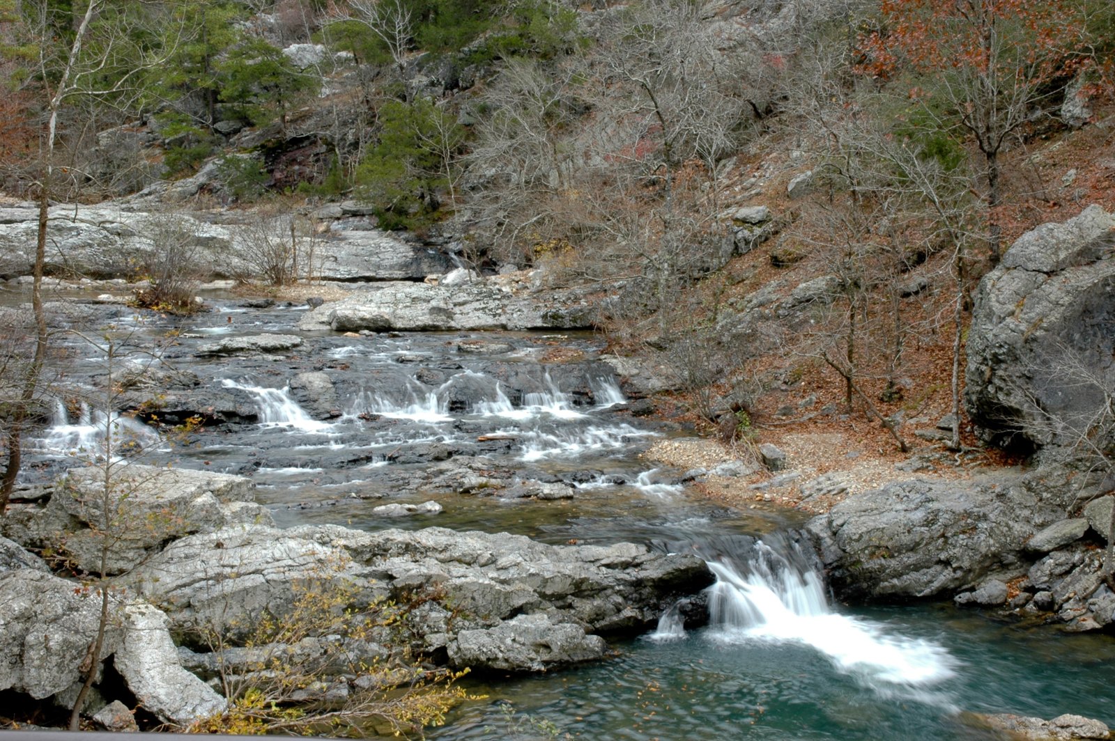
The Forest Service calls the Eagle Rock Loop the longest loop trail in Arkansas, and AllTrails ranks it the state’s most popular backpacking trail. The Forest Service says the route was developed along a 100-year-old postal route and old wagon roads, combining the Little Missouri Trail, the Athens–Big Fork Trail, and part of the Viles Branch Horse Trail. Over about 27 miles, it follows the clear Little Missouri River, then climbs over a string of steep ridges with views across the Ouachita Mountains.
Most people take two or three days. The river crossings are what make it serious.
The hike
The Forest Service calls the loop very difficult, with a lot of steep climbing; one leg alone crosses six ridges in eight miles, each 500 to 800 feet. It warns of numerous tricky creek crossings, almost certainly wet in March and April, and one ford of the Little Missouri River that can be 50 yards wide. It lists four trailheads: Winding Stairs (2.1 miles west of the Albert Pike Day Use Area on Forest Road 106), Little Missouri Falls, Upper Little Missouri Falls, and Middle Athens–Big Fork. There’s no drinking water at the trailheads.
OuachitaMaps describes the loop as made up of three trails. The Little Missouri Trail, with white blazes, heads north along the river. Hiking Project says this stretch is fairly level but crosses the river three times and two significant tributaries, which can make it impassable when the water is high. Backpacker describes a deep gorge beneath Round Mountain and a glimpse of Little Missouri Falls before a bridge near mile 6.3.
At the third trailhead, OuachitaMaps says, the loop turns south onto the Athens–Big Fork Trail. Arkansas Outside describes this leg heading across six ridges, and its family stopped at the ridge to walk out to Eagle Rock Vista, the loop’s namesake. Backpacker calls the Athens–Big Fork Trail briar-lined. Hiking Project rates Eagle Rock Vista as one of the loop’s big climbs.
At mile 22, OuachitaMaps says, the Viles Branch Trail crosses the Little Missouri River and the loop rejoins the Little Missouri Trail. The Winding Stairs area, in the loop’s southeast corner, is the scenic heart of the trip. Backpacker says its pools and striking rock formations draw people, and OuachitaMaps shows novaculite bluffs and gravel shoals there. Paria Outdoor Products lists other highlights: a spur to Brush Heap Mountain, the Little Missouri Falls viewpoint, the Winding Stairs swimming hole, Eagle Rock Vista, and Spirit Rock Vista.
The Winding Stairs crossings are the crux. OuachitaMaps says the water there should be about calf deep, and links to the USGS gauge for the Little Missouri near Langley. Hiking Project advises considering an alternate route if that gauge reads 4 feet or higher. A Cajun Limeys trip report from November 2024 describes taking a high-water alternate route that avoided the deeper Winding Stairs crossings while keeping most of the sights.
Water is plentiful. A Backpacking Light poster says there’s water all along the trail, since the Athens–Big Fork Trail drops into a valley between each ridge. Arkansas Outside calls the Little Missouri River and its tributaries reliable.
For an Ozark Mountains loop in the other national forest, see the White Rock–Shores Lake Loop.
Tips
- Check the river gauge. Hiking Project suggests an alternate route if the Little Missouri gauge at Langley reads 4 feet or higher.
- Expect wet feet. The Forest Service says wet crossings are almost certain in March and April. One hiker used sandals at crossings.
- Don’t park overnight at Albert Pike. OuachitaMaps says the Albert Pike area is closed to overnight parking. Use Winding Stairs or another trailhead.
- Budget for the ridges. The Athens–Big Fork section crosses six ridges in eight miles.
- Bring a filter. There’s no potable water at the trailheads.
Camping
Camping is dispersed. Paria Outdoor Products says you can camp anywhere along the trail except in the Albert Pike Recreation Area, and that there are lots of established campsites. Arkansas Outside says dispersed camping is permitted throughout the Ouachita National Forest under Leave No Trace guidelines. We found no permit requirement. Check with the Caddo/Womble Ranger District for current conditions.
Inside Intel: Two spots stand out in trip reports. The Cajun Limeys writer calls Winding Stairs and Eagle Rock Vista probably the most scenic campsites, and likes starting at the Winding Stairs parking area counterclockwise to finish with a last night at Eagle Rock Vista. A Backpacking Light poster camped at Straight Creek on the Athens–Big Fork Trail on the first night of a counterclockwise trip, and another camped about a mile south of Little Missouri Falls.
Trail facts
- Distance: About 26.4 to 26.8 miles
- Route type: Loop, usually two to three days
- Difficulty: Strenuous. Steep ridges and many crossings.
- Campsites: Dispersed; many established sites near water
- Water: Plentiful (Little Missouri River and tributaries). Treat all water.
- Permits: None found
- River crossings: Little Missouri ford can be 50 yards wide; dangerous in high water
- Trailheads: Winding Stairs, Little Missouri Falls, Upper Little Missouri Falls, Middle Athens–Big Fork (Forest Service)
- Last verified: September 30, 2026
Where this comes from
This page draws on the sources below, along with other guides and trip reports. Links go to the original pages.
- U.S. Forest Service: Eagle Rock Loop
- OuachitaMaps: Eagle Rock Loop
- Hiking Project: Eagle Rock Loop
- Backpacker: Eagle Rock Loop
- Arkansas Outside: Backpacking the Eagle Rock Loop
- Cajun Limeys: Eagle Rock Loop High Water Alternate
- Paria Outdoor Products: Hike of the Week, Eagle Rock Loop
- Backpacking Light: Eagle Rock Loop thread
Before you go: This page is based on published trail guides, trip reports, and reviews, along with official park and agency information where we could find it. It’s meant to help backpackers discover new trails, not to replace current, official information. Conditions, closures, permits, campsites, and water sources change, and some details here may be out of date or wrong. Confirm everything with the managing agency and check current conditions before you head out, and don’t rely on this page alone for safety or navigation. Backcountry travel involves risk.