
Trails / Arkansas / Buffalo National River
Buffalo River Trail: Kyles Landing to Pruitt
Buffalo National River, National Park Service (Upper District, between Kyles Landing and Highway 7)
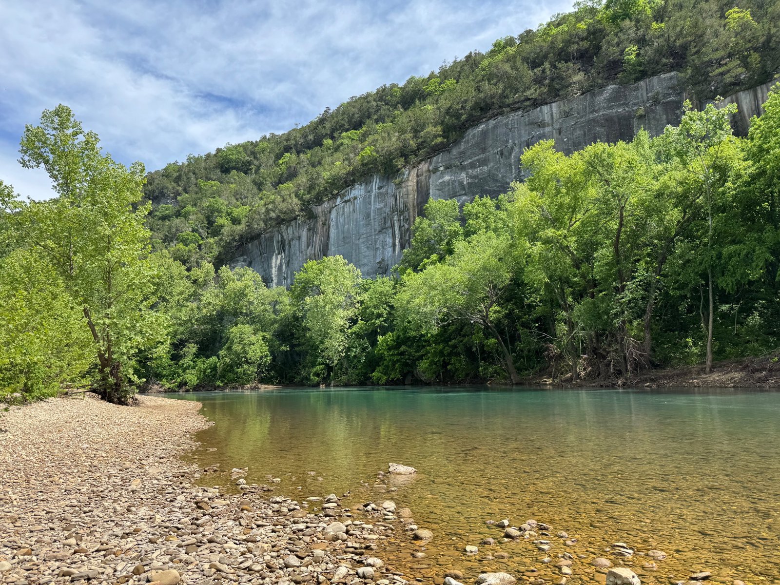
The lower half of the Buffalo River Trail’s western section runs from Kyles Landing past the historic community of Erbie to Pruitt, where Highway 7 crosses the river. The NPS says hiking is most strenuous between Boxley Valley and Erbie, and that downstream of Erbie the trail gives way to gentler terrain. That makes this about 16-mile stretch a more relaxed trip than the bluff-top miles upstream.
It’s also rich in history, with old homesteads, a cemetery, and the Erbie church along the way.
The hike
OuachitaMaps describes the start at Kyles Landing: the trail heads south up Bear Creek, switchbacks up a small ridge, and crosses County Road 256, the access road to Kyles Landing, at about a mile. The NPS says Kyles Landing Campground, about halfway between Ponca and Jasper off Highway 74, has 33 walk-in tent-only sites. OuachitaMaps notes drinking water and flush toilets there from April through October.
Buffalo River Partners describes the Kyles-to-Erbie section as a moderate to strenuous 7.4-mile hike featuring a historic cemetery and homestead. Barefoot Traveler’s guide notes an immediate climb out of Kyles Landing before the trail drops back down near the river.
Erbie is the midpoint. OuachitaMaps says the trail crosses the Erbie Campground Road and that a short walk west reaches the campground, with river access, car camping, walk-in campsites, picnic tables, fire grates, drinking water, and toilets. The NPS lists 13 drive-in sites, 13 walk-in tent-only sites, and 5 walk-in group sites, about 7 miles down a gravel road off Highway 7. A buffaloriver.com float guide describes Erbie as a historic river community with the primitive Erbie Church and the Parker-Hickman Homestead. Buffalo River Partners says the 1.8-mile South Erbie Loop visits the Parker-Hickman Farmstead.
Lost in the Ozarks says the Erbie area is rich in history, with old cemeteries, homesteads, and barns. Barefoot Traveler adds that the Buffalo River Trail is planned to link Arkansas’s Ozark Highlands Trail with Missouri’s Ozark Trail.
Below Erbie, the trail eases. Lost in the Ozarks calls the stretch between Ozark Campground and Erbie Campground the easiest section of the whole trail. Buffalo River Partners describes the Erbie-to-Cedar Grove section as a moderate 4.3-mile hike featuring a historic cemetery, with Cedar Grove itself wheelchair-accessible. OuachitaMaps says you climb a few steps out of the woods to reach the Cedar Grove Picnic Area.
From Cedar Grove, the trail continues to Ozark Campground. The NPS says Ozark is about 3 miles down a graded gravel road off Highway 7 north of Jasper, and shows a swimming hole on the Buffalo there. Buffalo River Partners describes the final 2.6-mile stretch from Ozark to Pruitt as a moderate hike featuring a scenic overlook and a historic site. The trail ends at the picnic area near the Pruitt access, according to the NPS brochure.
Wikipedia says construction on the western section began in 1980 and that by 1994 half of its 37 miles were completed. It describes the trail passing homestead sites, traces of Civil War–era mining and logging, and a wide variety of Ozark plants and animals.
For the more rugged stretch upstream, see the Buffalo River Trail from Ponca to Kyles Landing.
Tips
- Use Erbie as a midpoint. It has drinking water, toilets, and walk-in campsites, per OuachitaMaps and the NPS.
- Plan the shuttle. Kyles Landing is reached by a rough road; the NPS recommends high clearance.
- Visit the homesteads. The South Erbie Loop leads to the Parker-Hickman Farmstead.
- Watch the river level. The Buffalo can rise quickly after rain.
- Expect gentler miles below Erbie. The NPS and Lost in the Ozarks describe easier terrain downstream.
Camping
Backcountry camping is allowed along the Buffalo River Trail. Guides and outfitters say no permit is required, and that sites should be at least half a mile from designated NPS campgrounds. NPS campgrounds along this section include Kyles Landing, Erbie, and Ozark. Check current rules and campground status with the park. Wikipedia says camping is generally allowed throughout the park except in the Hemmed-In Hollow area, on Big Bluff, in historic structures, on private property inside the park, or within 100 feet of any trail or watercourse.
Inside Intel: We didn’t find trip reports recommending particular backcountry sites on this section. Erbie’s walk-in tent sites, with drinking water and toilets, make the most convenient midpoint camp for a two-day trip, based on the NPS and OuachitaMaps descriptions. Ozark Campground, near the end, has a swimming hole on the river.
Trail facts
- Distance: About 16 miles (Kyles Landing to Erbie about 7.1 to 7.5 miles; Erbie to Pruitt about 8.6 miles)
- Route type: Point to point with a shuttle
- Difficulty: Moderate; gentler below Erbie
- Campsites: Dispersed backcountry; NPS campgrounds at Kyles Landing, Erbie, and Ozark
- Water: Buffalo River; drinking water at Erbie and seasonally at Kyles Landing. Treat other water.
- Permits: None reported for backcountry camping
- Trailheads: Kyles Landing; Erbie; Ozark; Pruitt (near Highway 7)
- Last verified: September 30, 2026
Where this comes from
This page draws on the sources below, along with other guides and trip reports. Links go to the original pages.
- National Park Service: Buffalo National River camping
- National Park Service: Weekend Getaway, Upper District
- National Park Service: Buffalo River Trail brochure (PDF)
- OuachitaMaps: Buffalo River Trail Western Section
- Buffalo River Partners: Upper River Hiking
- Wikipedia: Buffalo River Trail
- Lost in the Ozarks: Buffalo River Trail, Ozark to Erbie
- buffaloriver.com: Plan a 2-day float trip
- Barefoot Traveler: Buffalo National River hiking
- Wikipedia: Buffalo National River
Before you go: This page is based on published trail guides, trip reports, and reviews, along with official park and agency information where we could find it. It’s meant to help backpackers discover new trails, not to replace current, official information. Conditions, closures, permits, campsites, and water sources change, and some details here may be out of date or wrong. Confirm everything with the managing agency and check current conditions before you head out, and don’t rely on this page alone for safety or navigation. Backcountry travel involves risk.