
Trails / Arizona / Southern Arizona
Manning Camp via Douglas Spring Trail (Saguaro National Park)
Saguaro Wilderness, Rincon Mountain District, Saguaro National Park (east of Tucson)
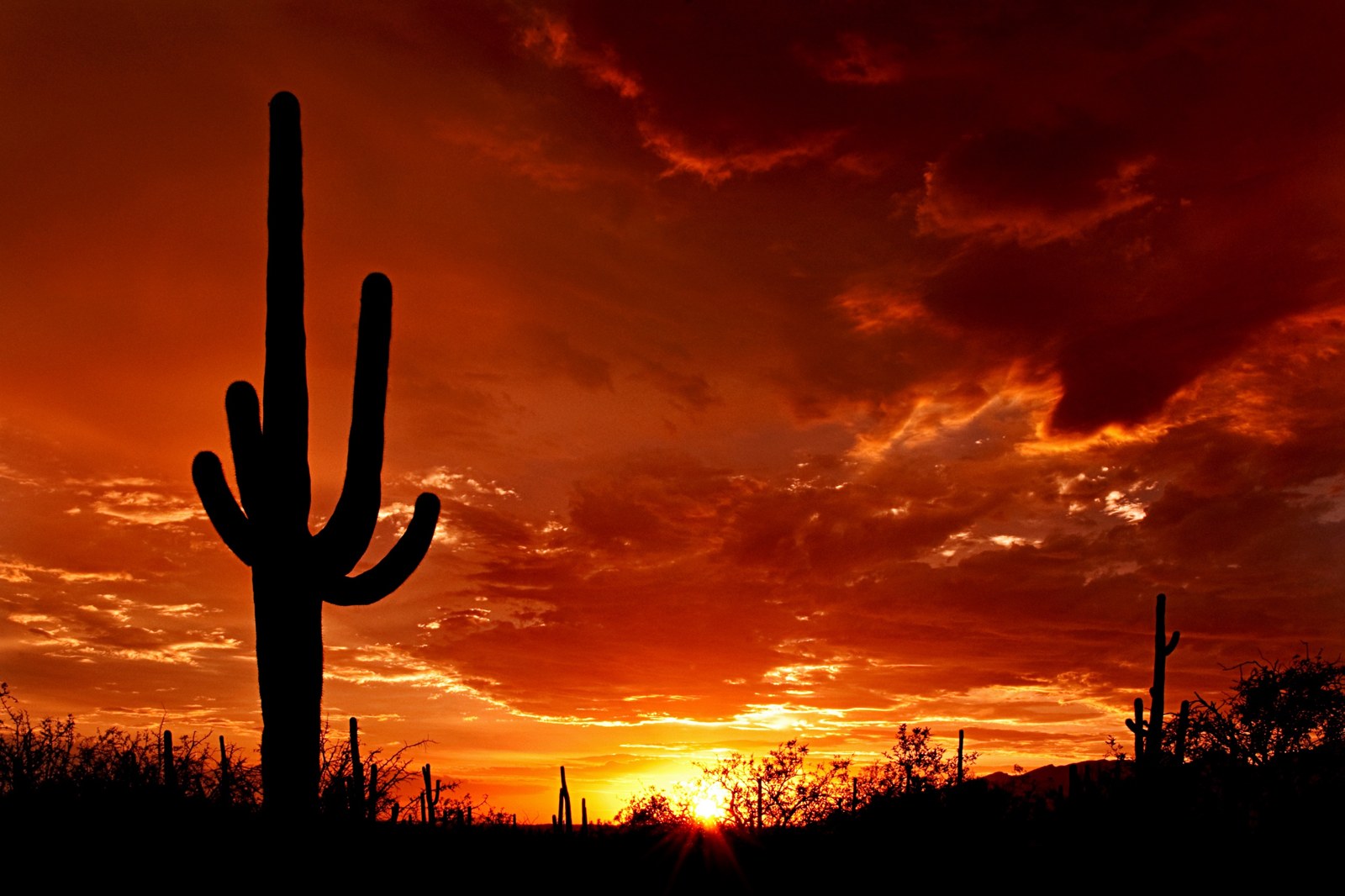
Saguaro National Park is famous for its giant cactus forests, but its Rincon Mountain District rises from the desert all the way to cool ponderosa pine forest. Manning Camp, near the top at about 7,920 feet, is a small backcountry campground beside a historic cabin. The Douglas Spring Trail climbs there from the edge of Tucson, passing from saguaros through oak woodland to pines in about 12 miles.
Backpacker describes the park as hiding a cool mountain escape inside Arizona’s premier cactus preserve. Getting there is a long, hard climb.
The hike
The NPS describes the Saguaro Wilderness in the Rincon Mountains as protecting the last roadless “sky island” range in southern Arizona, from cactus desert to pine-covered heights, and says Congress designated it in 1976. The park has no car campgrounds. Overnight stays are allowed only at six designated backcountry campgrounds: Juniper Basin, Douglas Spring, Grass Shack, Happy Valley Saddle, Spud Rock Spring, and Manning Camp.
The route starts at the Douglas Spring Trailhead at the east end of Tucson’s Speedway Boulevard. Back o’ Beyond gives the distance as 17.4 miles east on Speedway from I-10, exit 257. It says the NPS trail signs put Manning Camp 12.4 miles away with 5,050 feet of elevation gain.
Backpacker describes the first stretch climbing from the sandy valley into rocky grasslands, with 8,664-foot Mica Mountain rising to the south and the Santa Catalina range to the north, through prickly pear, teddy bear cholla, and saguaros. The NPS says Douglas Spring Campground, at 4,800 feet, is 6.3 miles from the trailhead. Backpacker says the trail climbs steeply past a series of ravines above Douglas Spring, shaded by piñon and ponderosa pines, and reaches Cow Head Saddle, at about 6,200 feet on Mica’s ridgeline, around mile 8.
From Cow Head Saddle, the Cow Head Saddle Trail and Manning Camp Trail continue up. The Dyrt calls the Douglas Spring to Cow Head Saddle to Manning Camp route the most direct path. Back o’ Beyond describes the Cow Head Saddle Trail as in good condition. Near the top, the trail enters pine forest. AAA’s guide calls it one of the park’s six backcountry camps and notes Manning has six sites while the others have three.
Manning Camp has history. Back o’ Beyond says the Manning family used the site as a summer home until the Forest Service took over the land in 1907 to create the Coronado National Forest. The Dyrt says the restored Manning Cabin is now a base for research and backcountry rangers and isn’t open to the public, but campers can pitch tents in the nearby camp. The NPS says Manning Camp is the primary staging area for park mules that help open the camp each season.
Other routes reach the high country too. The NPS lists Spud Rock Spring, at 7,400 feet, 5.3 miles from the Turkey Creek trailhead, and Grass Shack, at 5,200 feet, 10 miles from the Loma Alta and Hope Camp trailheads. It says Chimenea Creek, the biggest watershed in the Rincons, runs past Grass Shack and provides water most of the year.
Backpacker’s itinerary puts the return from Manning Camp at 12 miles back to the desert floor, dropping nearly 2,000 feet on the Cow Head Saddle Trail to the Douglas Spring Trail.
For another southern Arizona mountain overnight, see the Chiricahua Crest Trail.
Tips
- Reserve a permit. The NPS says backcountry camping reservations are required and permits are available on Recreation.gov.
- Carry lots of water. AAA’s guide says water is scarce and backpackers must be self-sufficient.
- Consider a mid-trip camp. Douglas Spring and Grass Shack break up the climb; check fire rules, since campfires are prohibited at both.
- Start early. The lower trail crosses open desert with little shade.
- Check water at Manning. Third-party listings call it the most reliable source, but confirm with the park.
Camping
The NPS allows overnight stays only at the six designated wilderness campgrounds, with a backcountry permit reserved through Recreation.gov. Manning Camp has six sites, and the others three each, according to AAA’s guide. The NPS says campfires are prohibited at Douglas Spring and Grass Shack and permitted only at Juniper Basin, Manning, Spud Rock, and Happy Valley. Livestock are limited to mules, donkeys, and horses.
Inside Intel: Backpacker’s two-night plan spreads out the climb: camp at Grass Shack the first night, descending about 700 feet from Cow Head Saddle to three tent sites along an intermittent oak-shaded stream, then continue up to Manning Camp. A third-party campground guide calls Manning the best backcountry camp in the park, citing cool pine forest in summer, reliable spring water, and its value as a base for Rincon hikes.
Trail facts
- Distance: About 24.8 miles round trip (12.4 miles one way per NPS trail signs)
- Route type: Out and back
- Difficulty: Strenuous. About 5,050 feet of gain to Manning Camp.
- Elevation: Manning Camp 7,920 feet; Douglas Spring Campground 4,800 feet (NPS)
- Campsites: Designated only: Douglas Spring (6.3 mi), Grass Shack, Manning Camp
- Water: Scarce. Manning Camp reportedly most reliable; confirm. Treat all water.
- Permits: Backcountry permit required (Recreation.gov)
- Fires: Prohibited at Douglas Spring and Grass Shack
- Trailhead: Douglas Spring Trailhead, east end of Speedway Boulevard, Tucson
- Last verified: September 30, 2026
Where this comes from
This page draws on the sources below, along with other guides and trip reports. Links go to the original pages.
- National Park Service: Saguaro camping
- National Park Service: Saguaro Wilderness Area
- Back o’ Beyond: Manning Camp Arizona Backpacking Guide
- Backpacker: Secrets of Saguaro National Park
- AAA Via: Complete Guide to Saguaro National Park
- The Dyrt: Manning Camp
- The Dyrt: Saguaro National Park camping guide
Before you go: This page is based on published trail guides, trip reports, and reviews, along with official park and agency information where we could find it. It’s meant to help backpackers discover new trails, not to replace current, official information. Conditions, closures, permits, campsites, and water sources change, and some details here may be out of date or wrong. Confirm everything with the managing agency and check current conditions before you head out, and don’t rely on this page alone for safety or navigation. Backcountry travel involves risk.