
Trails / Alabama / Northeast Alabama
DeSoto State Park Backpacking Campsites
DeSoto State Park, Alabama State Parks (Lookout Mountain, northeast of Fort Payne)
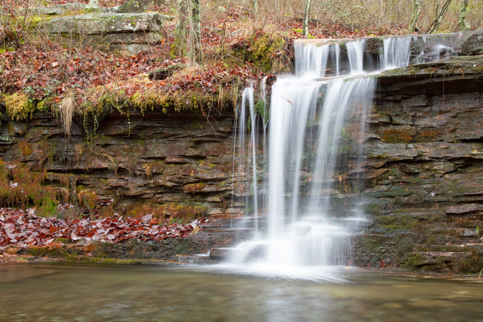
DeSoto State Park sits on top of Lookout Mountain in northeast Alabama, a place of rushing creeks, rock ledges, waterfalls, and Civilian Conservation Corps history. The park has two backpacking campsites, each with a shelter, a short walk from the trailheads. Both are short walks from the trailheads and can anchor longer hikes on the park’s more than 35 miles of trails.
The park borders Little River Canyon National Preserve, where backcountry camping isn’t allowed, so these two sites are the backpacking option in this corner of the state.
The hike
Alabama State Parks says DeSoto covers 3,502 acres and has more than 35 miles of hiking trails, plus mountain biking trails and an accessible boardwalk. It says the park is about eight miles northeast of Fort Payne and is known for its rushing waterfalls and wildflowers. Wikipedia says the park was dedicated as DeSoto State Park in 1939 and was then the largest state park in Alabama. It adds that a museum celebrating the Civilian Conservation Corps’ work in Alabama’s state parks opened there in 2013.
The two backpacking campsites are Never-Never Land and the CCC Quarry. The park’s handout says Never-Never Land sits near an unnamed seasonal stream, about 0.75 mile from the Lost Falls trailhead by the shortest route, and that a three-sided trailside shelter was added there in fall 2011. AllTrails describes a 3-mile Never Never Land loop from the Lost Falls Trailhead, a popular mountain biking loop with dirt, rocky terrain, boardwalks, and some hills, with a backcountry campsite at its southern end.
The CCC Quarry site is northeast of the old Civilian Conservation Corps quarry off the White Trail. The park says the shortest route is 1.1 miles from the Country Store parking lot along the White Trail.
Because both camps are close to the trailheads, you can build a longer walk around them. AllTrails lists a Laurel Falls and Lost Falls loop as the most popular camping trail in the park. The DeSoto Scout Trail is the park’s most demanding. America’s State Parks describes it as a historic trail that starts at the Comer Scout Reservation and follows the West Fork of the Little River through the park into Little River Canyon National Preserve. AllTrails says the Scout Trail has the most elevation gain in the park, about 843 feet on its listed route.
AllTrails describes a DeSoto Scout and Gilliam route that leaves the park for the “Backcountry Trailhead” on Backcountry Road 5 in Little River Canyon National Preserve, following that road to Edna Hill Church and marked with “DST” signs. One RV travel guide describes the DeSoto Scout Trail as 3.1 miles of strenuous uphill hiking.
Wikipedia notes that the Little River canyon area was once the southernmost unit of DeSoto State Park before the National Park Service took it over. It says backcountry camping is no longer allowed in the preserve, which makes DeSoto’s two backpacking sites the nearby alternative. The park also points visitors to nearby 104-foot DeSoto Falls, the Walls of Jericho, and the historic towns of Fort Payne and Mentone.
For another northeast Alabama overnight, see the Walls of Jericho.
Tips
- Reserve or register. The park says the backpacking sites can be reserved by phone or in person; otherwise they’re first come, first served. Call the Country Store at 1-800-760-4089.
- Check the group size. Each backpacking site is limited to six people and two tents.
- Carry water. The Dyrt says the backpacker camps have no water or trash service. Never-Never Land’s nearby stream is seasonal.
- Camp only at your site. The park says overnight backpackers may camp only at a designated backpacking campsite.
- Plan a longer loop. Both sites are short walks from the trailheads, so pair them with the Laurel Falls, Lost Falls, or Scout Trail routes.
Camping
DeSoto has two designated backpacking campsites, Never-Never Land and the CCC Quarry. The park says both have shelters. The Dyrt describes them as primitive backpacker camps with sleeping shelters and fire pits. Sites hold up to six people and two tents, and backpackers must register. The park also has primitive walk-in tent sites and a large improved campground if you’d rather car camp.
Inside Intel: We didn’t find camper accounts comparing the two sites. From the park’s own descriptions, the choice comes down to what you want nearby. Never-Never Land sits by a seasonal stream on a popular trail loop near Lost Falls, with a three-sided shelter. The CCC Quarry site is off the White Trail near the old quarry the Civilian Conservation Corps worked in the 1930s. Ask the Country Store about conditions when you book.
Trail facts
- Distance: Never-Never Land about 0.75 mile from the Lost Falls trailhead; CCC Quarry about 1.1 miles from the Country Store (shortest routes). Loops of several miles are possible.
- Route type: Loop or out and back
- Difficulty: Easy to moderate; the DeSoto Scout Trail is the park’s most strenuous
- Campsites: Two designated backpacking sites with shelters
- Water: None provided; seasonal stream near Never-Never Land. Treat all water.
- Permits: Reservation or first-come registration with the park
- Group size: 6 people and 2 tents per site
- Trailheads: Lost Falls trailhead (Never-Never Land); Country Store parking lot (CCC Quarry)
- Last verified: September 28, 2026
Where this comes from
This page draws on the sources below, along with other guides and trip reports. Links go to the original pages.
- Alabama State Parks: DeSoto State Park
- Alabama State Parks: DeSoto Backpacking Campsites
- Alabama State Parks: DeSoto backpacking campsites handout (PDF)
- Wikipedia: DeSoto State Park
- Wikipedia: Little River Canyon National Preserve
- America’s State Parks: DeSoto State Park
- AllTrails: DeSoto State Park trails
- RVshare: DeSoto State Park guide
Before you go: This page is based on published trail guides, trip reports, and reviews, along with official park and agency information where we could find it. It’s meant to help backpackers discover new trails, not to replace current, official information. Conditions, closures, permits, campsites, and water sources change, and some details here may be out of date or wrong. Confirm everything with the managing agency and check current conditions before you head out, and don’t rely on this page alone for safety or navigation. Backcountry travel involves risk.