
Trails / California / Sierra Nevada
Rae Lakes Loop
Kings Canyon National Park, Sequoia and Kings Canyon National Parks (Road's End, Cedar Grove)
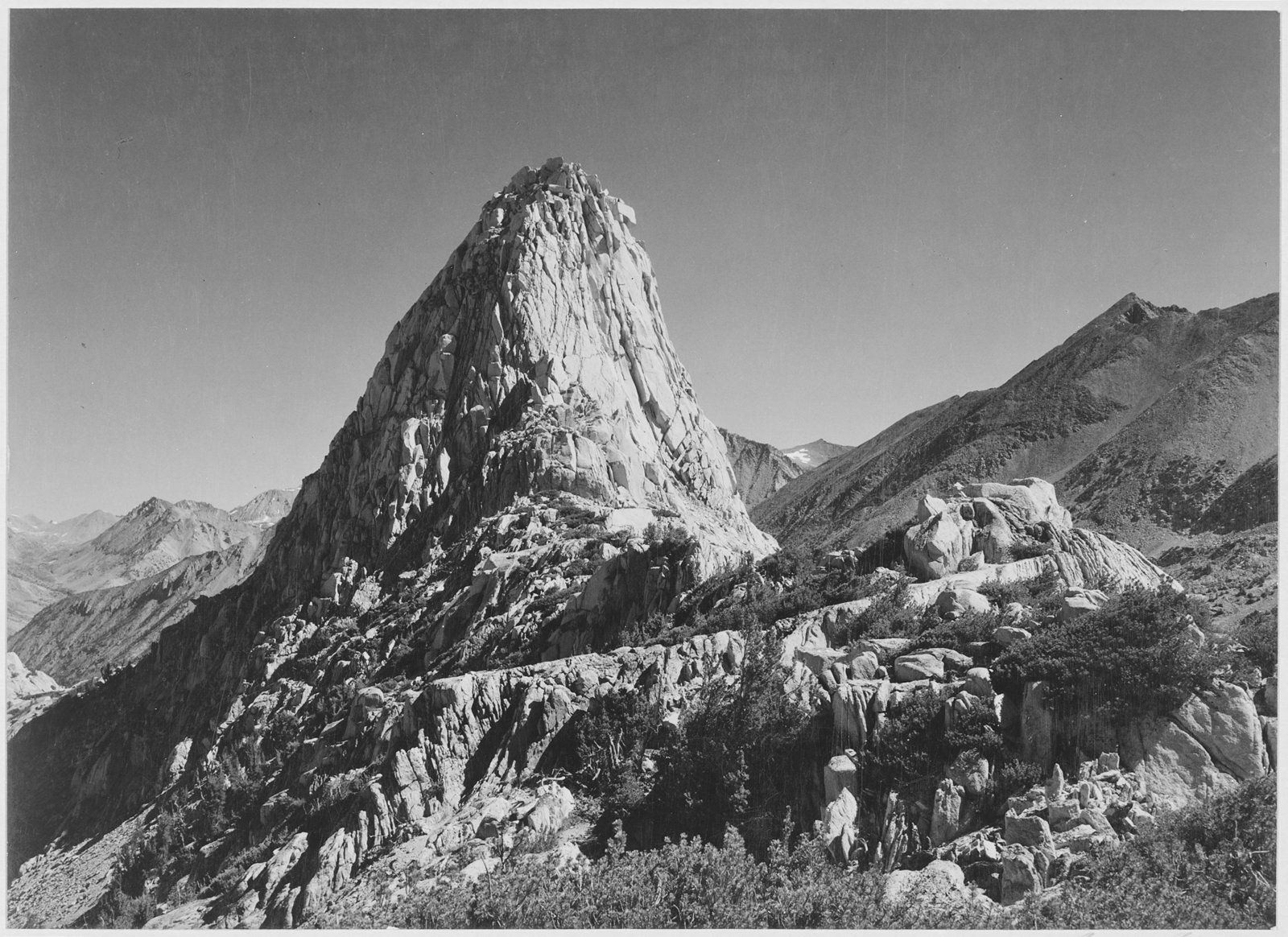
The Rae Lakes Loop is the classic backpacking trip in Kings Canyon National Park. Hiking Project calls it one of the most popular hikes in Sequoia and Kings Canyon, if not the entire Sierra. From Road’s End, it climbs through Paradise Valley and along Woods Creek to the string of Rae Lakes, crosses Glen Pass at nearly 12,000 feet, and returns down Bubbs Creek. It runs about 41 miles, usually over four days.
Permits are competitive in summer, and a bear canister is required.
The hike
The National Park Service lists the loop at 41.4 miles from Road’s End, according to Outerlands Travel and Best for Backpacking. Hiking Project says the route climbs from 5,035 feet to 11,978 feet at Glen Pass. You choose the direction when you get a permit: Woods Creek for clockwise, or Bubbs Creek for counterclockwise.
Going clockwise, Hiking Project describes leaving Road’s End, bearing north at the Bubbs Creek junction onto the South Fork (Paradise) Trail, and climbing gradually toward the Woods Creek crossing. A Recreation.gov itinerary, summarized by Outdoor Status, suggests a first night in upper Paradise Valley after about 9 miles and 1,900 feet of gain.
Above Paradise Valley, the trail follows Woods Creek. Hiking Project says the Castle Domes come into view as you near the junction with the John Muir Trail. High Sierra Trails shows the suspension bridge over Woods Creek, and Somewhere Sierra describes a small but extremely nice campsite with bear boxes right next to that swinging bridge at the Woods Creek–JMT junction.
From the junction, the route turns south on the John Muir Trail toward the Rae Lakes. Outdoor Status’ itinerary puts the second day at about 12 miles and 3,800 feet of gain to reach the lakes. Hiking Project’s photos show the lowest Rae Lake in front of Glen Pass and the middle lake below it.
Glen Pass is the high point. Modern Hiker says much of the route is above 10,000 feet and that the climb to Glen Pass may be snowbound at any point in summer in wet years. Somewhere Sierra found the miles between Vidette Meadows and Glen Pass the steepest of the trip, going counterclockwise. From the pass, Hiking Project mentions views of Diamond Peak, Black Mountain, and Charlotte Lake.
The loop finishes down Bubbs Creek to Junction Meadow and back to Road’s End. Outdoor Status’ itinerary puts the last two days at about 8.5 and 10 miles.
The NPS says that during the 2026 quota season, May 22 to September 26, permits are limited by entry point, reserved on Recreation.gov, and must be picked up in person at a wilderness office. Outside that season, from September 27, 2026, to May 20, 2027, permits are free, self-issued, and have no daily limit. The NPS adds that bear canisters are still required in most of the park in the off-season, though rentals may not be available.
Conditions change year to year. Best for Backpacking, citing NPS trail conditions, says Glen Pass was snow-free by July 7, 2026, and the South Fork Kings River crossing above Paradise Valley was no longer considered hazardous by late July.
Tips
- Reserve early for summer. Somewhere Sierra says permits are released six months ahead on Recreation.gov at 7 a.m. Pacific.
- Bring a bear canister. Rangers check at permit pickup, and the Road’s End station rents them, according to Modern Hiker.
- Plan for the camping limits. High Sierra Trails lists a two-night limit in Paradise Valley and one night per lake at Rae Lakes.
- No campfires at Rae Lakes. Use a stove.
- Check snow and crossings. Glen Pass can hold snow into summer in big years.
Camping
A wilderness permit is required for every overnight trip. During the quota season, you reserve on Recreation.gov and pick up the permit in person; outside it, permits are self-issued. Bear canisters are required. High Sierra Trails lists camping limits: two nights in Paradise Valley and one night per lake around Rae Lakes, from Dollar Lake to Glen Pass, and no campfires at Rae Lakes.
Inside Intel: Somewhere Sierra’s favorite stop on the loop was a small campsite with bear boxes right beside the swinging bridge at the Woods Creek–John Muir Trail junction. At the lakes, remember the one-night-per-lake rule. Somewhere Sierra found nearly everyone camped at Middle Rae packing up early to start Glen Pass before afternoon storms rolled in.
Trail facts
- Distance: About 39 to 41.4 miles (41.4 per the NPS)
- Route type: Loop, either direction
- Difficulty: Strenuous. About 7,000 feet of total gain; Glen Pass near 12,000 feet.
- Campsites: Wilderness camping, with limits at Paradise Valley and Rae Lakes; bear boxes at some sites
- Water: Creeks and lakes throughout. Treat all water.
- Permits: Required. Quota season May 22 to September 26, 2026 (reserve on Recreation.gov); self-issued and free outside it.
- Bear and food storage: Bear canister required
- Fires: Not allowed at Rae Lakes
- Trailhead: Road’s End, Cedar Grove, Kings Canyon National Park
- Last verified: October 2, 2026
Where this comes from
This page draws on the sources below, along with other guides and trip reports. Links go to the original pages.
- National Park Service: Sequoia and Kings Canyon Wilderness Permits
- Outdoor Status: Rae Lakes Loop (Recreation.gov itinerary)
- Hiking Project: Rae Lakes Loop
- Modern Hiker: Rae Lakes Loop
- High Sierra Trails: Rae Lakes permits and regulations
- Somewhere Sierra: Backpacking the Rae Lakes Loop
- Best for Backpacking: Kings Canyon and Sequoia guide
Before you go: This page is based on published trail guides, trip reports, and reviews, along with official park and agency information where we could find it. It’s meant to help backpackers discover new trails, not to replace current, official information. Conditions, closures, permits, campsites, and water sources change, and some details here may be out of date or wrong. Confirm everything with the managing agency and check current conditions before you head out, and don’t rely on this page alone for safety or navigation. Backcountry travel involves risk.