
Trails / California / California Coast
Lost Coast Trail (Mattole to Black Sands Beach)
King Range Wilderness, King Range National Conservation Area, Bureau of Land Management (Humboldt County)
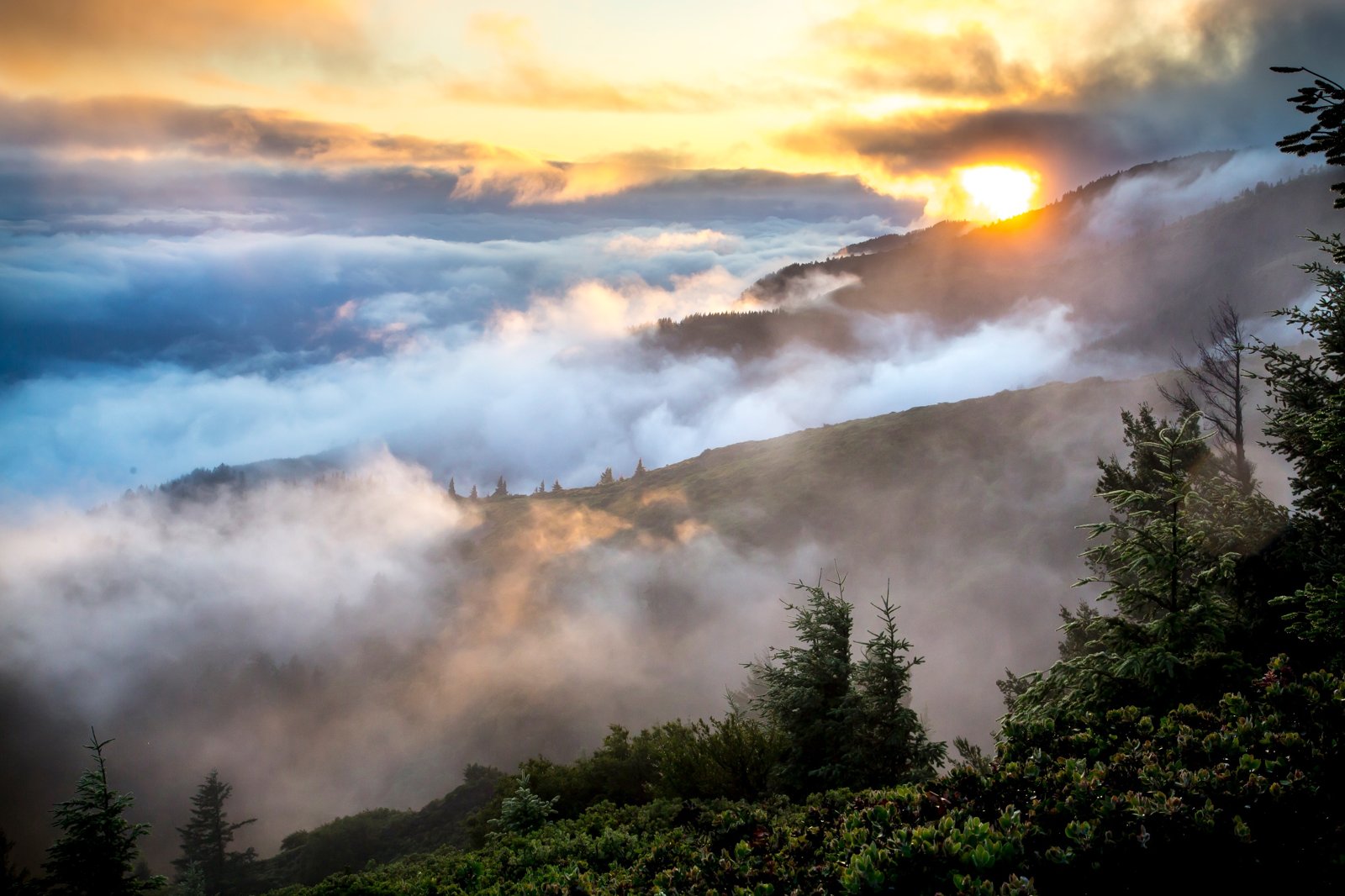
The Lost Coast Trail follows one of the wildest stretches of the California coast, where the King Range rises straight out of the Pacific and no highway follows the shore. The northern section runs about 25 miles from Mattole Beach to Black Sands Beach at Shelter Cove, mostly along sand and boulder beaches. NorCal Hiker says the name came from the region’s depopulation in the 1930s.
The ocean sets the schedule here. Three stretches of trail can only be walked when the tide is low.
The hike
Most people hike it north to south. AllTrails says the route typically runs from Mattole Beach to Black Sands Beach, keeping the prevailing wind at your back. Because it’s one way, Lily Tang’s guide suggests leaving a car at Black Sands Beach and taking a shuttle to Mattole the day before. NorCal Hiker says most people take two to four days.
The terrain is the challenge. SoCal Hiker describes going from coarse black sand to pebbly beaches to slippery, wave-smoothed stones the size of bowling balls, and the occasional relief of solid ground on the flats. The BLM’s trail guide says much of the route is beach hiking with stretches of 1- to 2-foot rounded boulders, and that water sources are plentiful along the beach.
The impassable zones decide everything. Recreation.gov says that on a normal day there are three sections where the tide must be under a specific threshold. In those zones, the beach is very narrow, there are large boulders to cross, and there are no grassy bluffs for refuge, only mostly vertical bedrock walls. The BLM’s guide names them: the area near Punta Gorda, from Sea Lion Gulch to Randall Creek, and from Miller Flat to Gitchell Creek. Lily Tang’s guide identifies the first as the Punta Gorda Lighthouse area. NorCal Hiker describes the four miles between Randall Creek and Sea Lion Gulch, with Cooskie Creek halfway through.
Recreation.gov says to always enter the impassable zones on a receding tide and to plan on moving at about 1 mile per hour. Even on good days, the ocean demands attention: the BLM warns that large sets of waves can occur at any time and sweep hikers into the sea. NorCal Hiker adds that rip currents, undertow, and rogue waves make the water unpredictable.
Lily Tang describes the final miles. After Big Flat comes about half a mile on the bluff through Miller Flat, then the trail drops to the beach to start the third impassable zone. From Gitchell Creek to Black Sands Beach, the last 4 miles or so, the beach widens and there are no more tidal restrictions.
Bears are part of the trip. Several hikers report bear tracks in the sand, and Wild Trail Hiker says black bears live throughout the King Range, which is why canisters are required. The BLM also notes that several privately owned cabins along the coast aren’t for public use.
AllTrails reviewers in September 2026 called the trail beautiful but warned of a lot of soft sand. If you can’t get a permit, a Shelter Cove visitor site notes you can walk north from Black Sands Beach and back without one, as far as the tide allows.
Tips
- Check tides before buying a permit. Recreation.gov requires it and lists 2026 dates when tides never fall low enough to pass.
- Carry a tide table. Plan each day around the three impassable zones.
- Enter tidal zones on a falling tide. Recreation.gov recommends planning travel at 1 mph through them.
- Bring a hard-sided bear canister. Bear bags and hangs aren’t acceptable, per Recreation.gov. Rentals are available at the King Range Visitor Center.
- Watch the waves. The BLM warns large sets can arrive without warning.
- Expect wet crossings in winter. The BLM says stream crossings may be impassable during or after heavy rain.
Camping
A King Range Wilderness permit is required for overnight trips, reserved through Recreation.gov after checking tides. Hard-sided bear canisters are required; bear bags and hangs aren’t allowed. Camping is along the beaches and creek mouths, and the BLM says it doesn’t maintain any facilities along the trail. One guide says human waste must be packed out in WAG bags; confirm with the BLM.
Inside Intel: Plan camps around the tides, not the miles. Explor Off’s five-day itinerary spends its last night at Miller Flat, just before the third impassable zone, then finishes at Black Sands Beach the next day. Lily Tang notes that if the tide chart cooperates, you can sometimes get through all 4 miles of the second impassable zone on the first day, which frees up the rest of the trip.
Trail facts
- Distance: About 24.6 miles (BLM figure)
- Route type: Point to point with a shuttle, usually north to south
- Difficulty: Strenuous. Soft sand, boulders, and tide timing.
- Elevation: Near sea level throughout
- Campsites: Beach and creek-mouth camping; no BLM facilities on the trail
- Water: Plentiful from creeks along the beach. Treat all water.
- Permits: King Range Wilderness permit required (Recreation.gov)
- Bear and food storage: Hard-sided bear canister required
- Hazards: Three tidal impassable zones; sneaker waves; winter stream crossings
- Trailheads: Mattole Beach (north); Black Sands Beach, Shelter Cove (south)
- Last verified: October 2, 2026
Where this comes from
This page draws on the sources below, along with other guides and trip reports. Links go to the original pages.
- Recreation.gov: King Range Wilderness Permits (Lost Coast)
- Bureau of Land Management: King Range campgrounds and trails (PDF)
- AllTrails: Lost Coast Trail, Mattole to Black Sands Beach
- Lily Tang: Guide to Backpacking the Lost Coast Trail
- NorCal Hiker: Hiking the Lost Coast Trail
- SoCal Hiker: The Lost Coast Trail overview
- Shelter Cove California: The Lost Coast Trail
- Wild Trail Hiker: Lost Coast Trail guide
Before you go: This page is based on published trail guides, trip reports, and reviews, along with official park and agency information where we could find it. It’s meant to help backpackers discover new trails, not to replace current, official information. Conditions, closures, permits, campsites, and water sources change, and some details here may be out of date or wrong. Confirm everything with the managing agency and check current conditions before you head out, and don’t rely on this page alone for safety or navigation. Backcountry travel involves risk.