
Trails / Alabama / Sipsey Wilderness
Borden Creek and the Sipsey River
Sipsey Wilderness, Bankhead National Forest (south of Moulton)
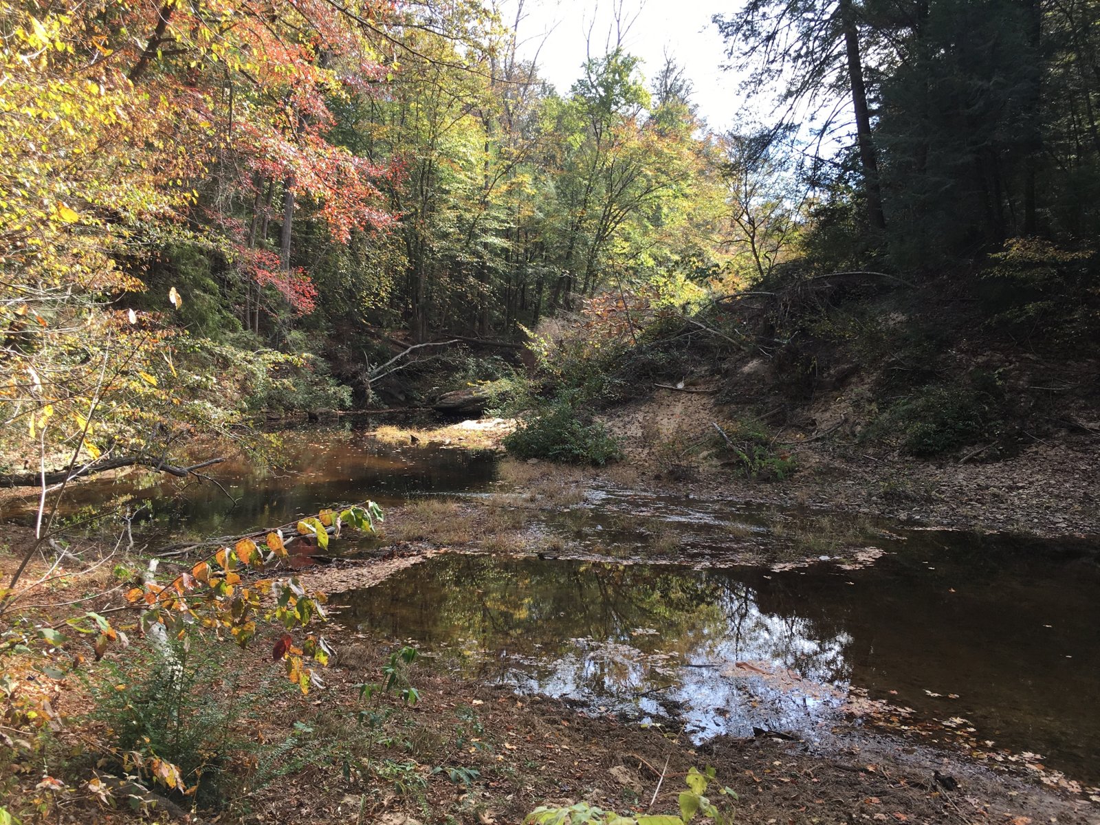
The Sipsey Wilderness is Alabama’s largest wilderness area, a maze of sandstone canyons, hemlock-lined creeks, and waterfalls in the Bankhead National Forest. This short out-and-back follows Borden Creek down to the Sipsey Fork and then along the river to a pair of campsites, one beside a waterfall and one high above a river bend.
The National Forest Foundation recommends it as a moderate, entertaining overnight and says even hikers who aren’t in top shape or used to a big pack can handle it.
The hike
The route starts at the Borden Creek Trailhead, reached by about two miles of gravel on Forest Road 224 off Winston County Road 60. The National Forest Foundation says the mileage begins at the metal gate and kiosk at the parking area. Wikipedia lists the Borden Creek Trail (Trail 200) at 2.7 miles and the Sipsey River Trail (Trail 209) at 6.7 miles, citing the Forest Service map.
About a mile in, the National Forest Foundation says, Trail 200 passes through the “Fat Man Squeeze,” a narrow, L-shaped fissure in a huge boulder about 10 yards long. It narrows enough that you’ll need to take off your pack and slide it ahead. The article suggests a headlamp and warns the ground is often muddy, with water dripping down the walls.
The trail follows Borden Creek past big rock overhangs. Exploring Alabama, describing the creek from its southern end, notes large overhangs, small waterfalls, and campsites with existing fire rings along the way. The National Forest Foundation describes numerous shallow pools good for swimming and boulders on the banks for napping. At times the trail hugs the creek; at others it climbs for views down onto long, winding bands of turquoise water.
At about 2.6 miles, you leave Trail 200 and cross Borden Creek to pick up Trail 209 heading northwest. There’s no bridge. The National Forest Foundation says the water can be thigh deep but the current is usually gentle, and suggests sandals or water shoes. One AllTrails reviewer found the crossing waist deep after rain and stayed on Trail 200 instead.
About three miles in, the National Forest Foundation describes a 90-foot curtain of water plunging over a bluff, with a small campsite around the bend beside building-sized boulders. Another half mile along Trail 209, a campsite for two or three tents sits in a stand of hemlocks high above a river bend, with a 180-degree view of the Sipsey River.
Wikipedia says the Sipsey was designated in 1975 as the first wilderness area east of the Mississippi River. Wilderness.net says the Sipsey Fork and its tributaries cut beneath sandstone bluffs 30 to 100 feet high, through second-growth forest with occasional stands of virgin timber, some of the last in the state. It says 61 miles of the Sipsey Fork are designated Wild and Scenic.
Longer trips are possible. Wilderness.net describes a 13-mile loop using Trails 200, 204, and 209, and notes that Trail 209 continues north along the river to meet Trail 206.
The National Forest Foundation says the Sipsey has minimal trail signs and several unofficial, unmarked paths, so first-timers should keep their plans modest and carry a map.
Tips
- Bring water shoes. The Borden Creek crossing onto Trail 209 has no bridge and can be thigh deep, or deeper after rain.
- Go midweek or in cooler months. The National Forest Foundation says these trails flood with people on nice weekends and holidays.
- Carry a map. Signs are minimal and there are unofficial side paths.
- Keep groups small. A Forest Service order limits groups to 10 people in the Sipsey Wilderness.
- Check for new rules. The Forest Service has been working on a new Sipsey Wilderness order. Call the Bankhead Ranger District before you go.
Camping
Camping is dispersed in the wilderness. The current Forest Service order (2012-01-06) limits stays to seven days and groups to 10 people, prohibits fireworks, and bans leaving equipment or trash behind. Wilderness.net says wilderness camping and campfires are permitted. Exploring Alabama notes several campsites with existing fire rings along the trail. Sources disagree on whether to camp 100 or 200 feet from water and trails. The National Forest Foundation says water is plentiful on this route and most campsites are within a few yards of a creek.
Inside Intel: The National Forest Foundation’s writer points to two campsites on Trail 209. One is a small site tucked beside building-sized boulders around the bend from the 90-foot waterfall, which the writer recommends for anyone who likes to sleep with white noise. The other, a half mile farther, sits in hemlocks above a river bend with room for two or three tents and a wide view of the Sipsey. Because the hike in is only about four miles, you can start late and still reach camp in daylight.
Trail facts
- Distance: About 8 miles round trip
- Route type: Out and back
- Difficulty: Moderate. Little elevation change; one unbridged creek crossing and a tight rock squeeze.
- Campsites: Dispersed. Several established sites along Borden Creek and Trail 209.
- Water: Plentiful. Treat all water.
- Permits: None reported. Confirm with the Bankhead Ranger District.
- Group size: 10 people maximum (Forest Service order)
- Stay limit: 7 days (Forest Service order)
- Trailhead: Borden Creek Trailhead, Forest Road 224 off Winston County Road 60, south of Moulton
- Last verified: September 28, 2026
Where this comes from
This page draws on the sources below, along with other guides and trip reports. Links go to the original pages.
- U.S. Forest Service: Sipsey Wilderness order 2012-01-06 (PDF)
- U.S. Forest Service: National Forests in Alabama alerts
- U.S. Forest Service: Forest Order for Sipsey Wilderness Restrictions (project)
- National Forest Foundation: Exploring a Classic Backpacking Route in the Sipsey Wilderness
- Wilderness.net: Sipsey Wilderness
- Wikipedia: Sipsey Wilderness
- Exploring Alabama: Sipsey Borden Creek
Before you go: This page is based on published trail guides, trip reports, and reviews, along with official park and agency information where we could find it. It’s meant to help backpackers discover new trails, not to replace current, official information. Conditions, closures, permits, campsites, and water sources change, and some details here may be out of date or wrong. Confirm everything with the managing agency and check current conditions before you head out, and don’t rely on this page alone for safety or navigation. Backcountry travel involves risk.