
Trails / Alabama / Central Alabama
Oak Mountain State Park Backcountry (Blue and White Trails)
Oak Mountain State Park, Alabama State Parks (Pelham, south of Birmingham)
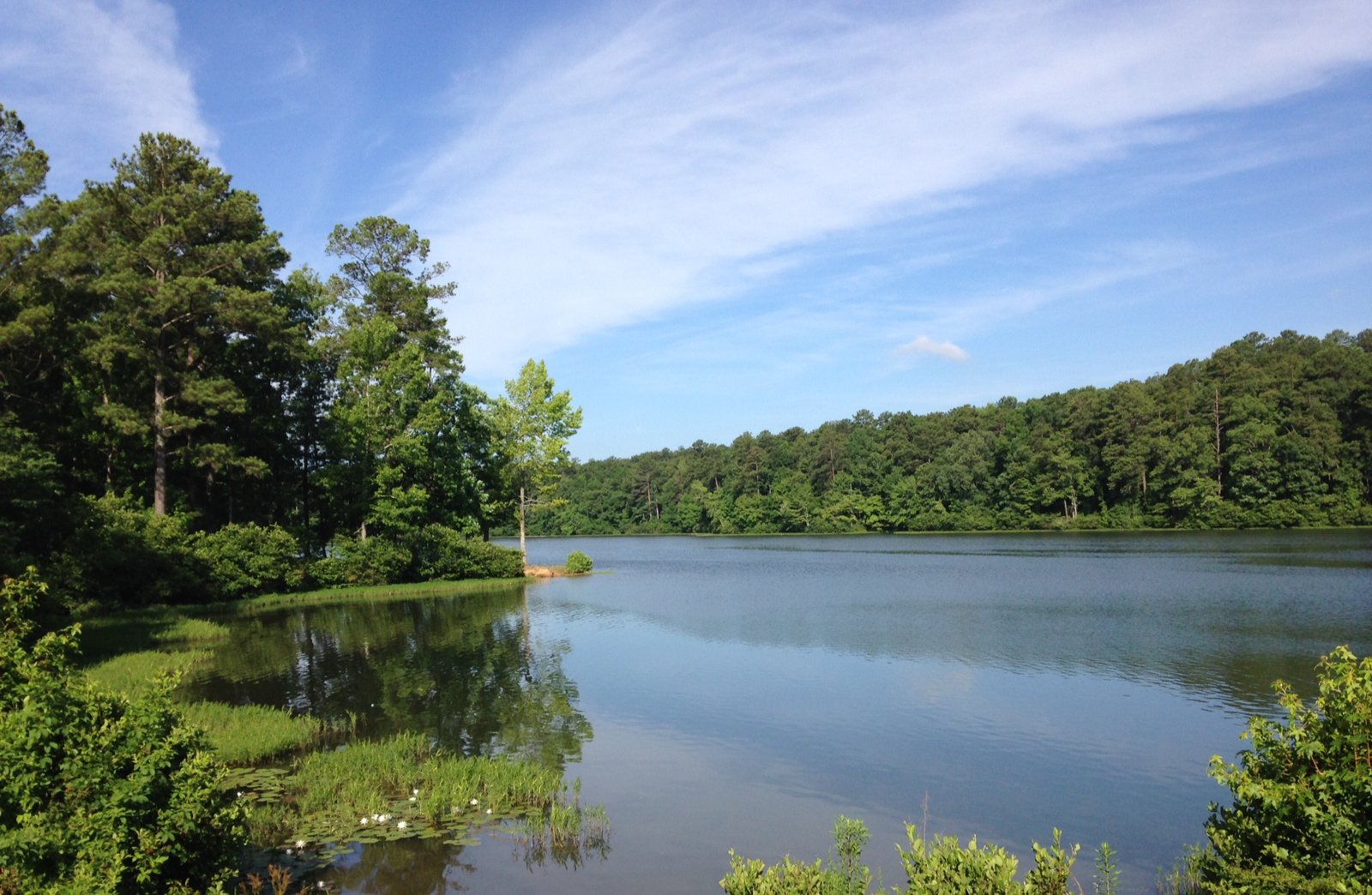
Oak Mountain, which one guide calls Alabama’s biggest state park, lets backpackers hike to designated campsites in the woods just south of Birmingham. Loops on the Blue and White Trails climb over the park’s long ridges past Peavine Falls and King’s Chair Overlook, with numbered backcountry campsites along the way.
Backcountry camping here is tightly managed: you reserve a site, register before sunset, and camp only at your assigned spot.
The hike
Wikipedia says the park covers about 9,940 acres in Pelham and was established in 1927. Its activities include hiking, trail running, mountain biking, horseback riding, swimming, fishing, and camping, with backcountry and equestrian camping in addition to the main campground.
The park’s trails are color-coded, and they don’t all allow the same uses. Wikipedia says the Red Trail is a purpose-built mountain biking trail, and the Orange Trail is reserved for horses, with no foot or bike traffic. StateParks.com describes the Green Trail, also called the Peavine Falls Trail, as the shortest and steepest at 1.9 miles, climbing from about 550 to 1,100 feet.
For backpacking, AllTrails lists a 13.2-mile loop on the Blue and White Trails that it calls adventurous but rewarding, with about 1,873 feet of gain, passing Peavine Falls and Maggie’s Glen. It also lists a 10-mile Blue Trail to Tranquility Lake loop, noting plenty of climbing if you go counterclockwise.
The best-known viewpoint is King’s Chair. Outbound describes a steady climb of a little over two miles from the North Trailhead on the Blue Trail, past Eagle’s Nest Overlook, to a rocky cliff edge with a small rock seat that gives the overlook its name. It calls the view one of the best south of Birmingham. A Komoot contributor calls a stretch of the White Trail a great ridge walk, and notes the Indian overlook a little farther along.
Peavine Falls is the park’s other landmark. A Komoot contributor calls it nearly 65 feet tall and the main attraction, reachable from several trailheads. The Treetop Nature Trail, an elevated boardwalk past enclosures of rehabilitated raptors, is a short walk if you want to see the Alabama Wildlife Center before or after your trip.
There are longer options too. A Komoot listing describes a 15.2-mile loop combining the Blue, West Ridge, and Foothills (Yellow) Trails with about 1,945 feet of gain, and a contributor praises the Yellow Trail’s dense forest. StateParks.com calls the Red Trail, also known as the Double Oak Trail, a loop that hikers can use but that is the only trail open to bikes, so expect riders there. For King’s Chair, one Outbound reviewer suggests the Red Trail as a shorter, easier approach than the Blue, and another called the view well worth the hike even in 30-degree weather.
The backcountry sites themselves are simple. Alabama State Parks says each site is marked on the trail with a brown marker showing its number, and that overnight backpackers may camp only at a designated backcountry site. AllTrails’ map shows Backcountry Campsites #2, #3, and #4.
Tips
- Reserve by phone. Alabama State Parks says backcountry sites are reserved by phone only, at 205-620-2527.
- Register early. All backpackers must register at the campground office at least an hour before sunset. The park won’t let anyone start later.
- Park in the right place. The two designated parking areas for backcountry campers are the North Trailhead and the parking area on Group Camp Road.
- Leave the fire plans at home. Fires are prohibited in the backcountry at all times. Bring a stove.
- Watch the forecast. The park won’t rent backcountry sites in inclement weather.
Camping
Alabama State Parks sets clear rules for the backcountry. Sites are reserved by phone and limited to eight people. Each party must buy a trail map. Backpackers must register at the campground office at least an hour before sunset, park at the North Trailhead or the Group Camp Road lot, and camp only at their assigned numbered site. Fires are prohibited at all times, pets are allowed under state park rules, and sites aren’t rented in bad weather. You must be 18 or older to rent a campsite.
Inside Intel: We didn’t find camper accounts recommending a particular backcountry site, so ask the campground office which sites are closest to the loop you plan to hike when you call to reserve. Keep in mind that registration closes an hour before sunset, so leave enough time to check in and reach your site.
Trail facts
- Distance: About 13 miles for the Blue and White Trail loop (AllTrails); 10 miles for the Blue Trail to Tranquility Lake loop
- Route type: Loop
- Difficulty: Moderate to strenuous
- Elevation: About 1,873 feet of gain on the 13.2-mile loop (AllTrails)
- Campsites: Designated numbered backcountry sites only
- Water: Not confirmed at sites. Carry enough and treat any creek water.
- Permits: Reservation and registration required (Alabama State Parks)
- Group size: 8 people maximum per site
- Fires: Prohibited in the backcountry at all times
- Trailhead: North Trailhead or Group Camp Road parking, Oak Mountain State Park, Pelham
- Last verified: September 28, 2026
Where this comes from
This page draws on the sources below, along with other guides and trip reports. Links go to the original pages.
- Alabama State Parks: Oak Mountain camping
- Wikipedia: Oak Mountain State Park
- Outbound: King’s Chair Overlook
- AllTrails: Oak Mountain State Park backpacking
- Outdoorsy: Oak Mountain State Park guide
- Komoot: Oak Mountain trail highlights
- StateParks.com: Oak Mountain State Park
Before you go: This page is based on published trail guides, trip reports, and reviews, along with official park and agency information where we could find it. It’s meant to help backpackers discover new trails, not to replace current, official information. Conditions, closures, permits, campsites, and water sources change, and some details here may be out of date or wrong. Confirm everything with the managing agency and check current conditions before you head out, and don’t rely on this page alone for safety or navigation. Backcountry travel involves risk.